All the logistical details you need to know in order to get around Mangystau region
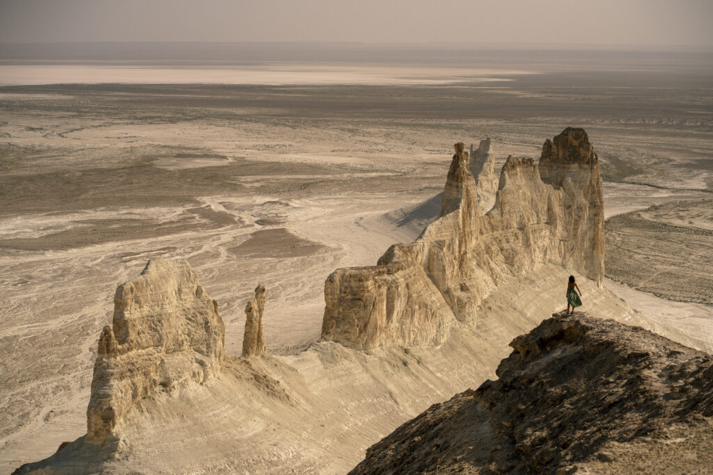
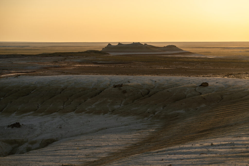
Mangystau is the westernmost part of Kazakhstan adjacent to the Caspian Sea. A region rich in oil and gas, very far from the largest cities of the country. It is a remote, surreal desert region along the Caspian Sea, known for its otherworldly landscapes, ancient underground mosques, and dramatic rock formations.
The entire region was an ancient ocean floor. Around 250 million years ago, a massive prehistoric ocean spanned the earth, and the dry deserts of Mangystau formed its deep floor. As tectonic plates shifted and the waters receded, they left behind thick layers of limestone, chalk, and salt. Visitors today can still walk along these ancient seabeds and find fossilised seashells or prehistoric shark teeth.
Getting there
The main airport in the region is Aktau. There are few direct flights to Aktau, but a lot of them are seasonal. We went via Istanbul with Pegasus Airlines and it was a pretty good deal. Alternatively, you will need to go to one of the other airports in Kazakhstan ( such as Astana or Almaty ) and take a domestic flight from there.
Visa
Citizens of over 80 countries (including the US, EU/UK, Australia, and Canada) can enter Kazakhstan visa-free for up to 30 days. You can check your requirements and apply online via the Visa-migration portal of the Republic of Kazakhstan.
When to go and the climate of the area
Climate: Experiences extreme continental weather with scorching, dry summers (often over 40°C) and cold, windy winters.
Best Time to Visit: Spring (April to June) and autumn (September to October) offer the most pleasant temperatures for exploration.
However, bear in mind the Instant Clay Mud After Rain. The off-road tracks connecting attractions like Bozzhyra, Bokty Mountain, and Kyzylkup (Tiramisu Canyon) consist primarily of clay and chalk. Even minor rainfall transforms these dry trails into a substance akin to wet ice or sticky dough, rendering tracks completely impassable. The rains typically could occur in Spring ( March to May ).
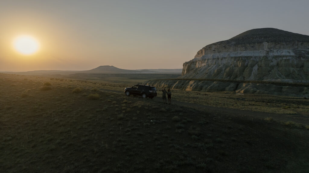
We personally took a more spontaneous decision and took the chance to go there in the middle of the summer ( end of July ). While the temperatures are indeed high, I would not say it is impossible to do it.
How much time you need
A minimum of 4 days would be enough to visit the main places but whatever is extra is a bonus. If you want to go to Karynzharyk Depression, you will need an extra of 2-3 days.
Is it possible to self drive?
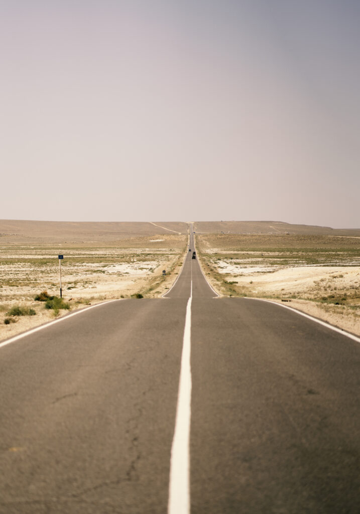
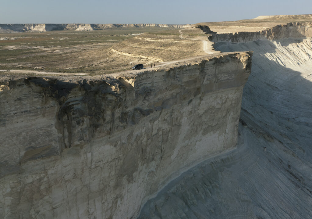
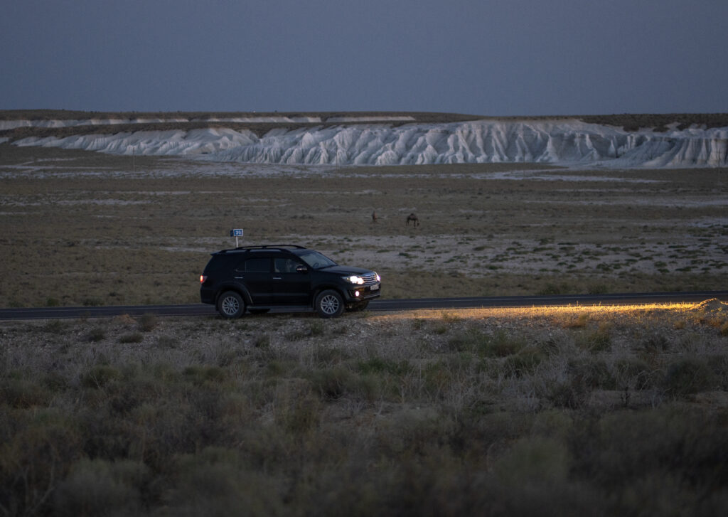
A big yes! Contrary to the information that we found online, we discovered that the infrastructure in the area is really good and the off-road parts are actually easily manageable if you go when the soil is dry. Most of the roads in between the points of interest are paved and the only off-road bits are inside the canyons.
Car rental
This could potentially be a problem since there are not many people renting cars without drivers. Most of the people coming here just do the arranged trips. However, after carefully researching, we found some options. But bear in mind that in this region there is no car insurance that works. And on top of that you will need a 4×4 car.
The first option and the one we used was a guy named Alexandr. He speaks only Russian and we contacted him via WhatsApp and used Google Translate. His number is +77019992372. He is not the friendliest type of person but at least he is fair.
Here is an useful to read forum, regarding renting from Alexandr and renting in Mangystau in general.
On the same forum we found this Instagram account @rentcarsaktau, however we never got a reply from them.
And the last option found there is this website – Kolesa.kz – which is obviously also in Russian.
But as a general rule – Caravanistan – is a very good forum for finding all sorts of info in Central Asia. Highly recommend it!
Navigation
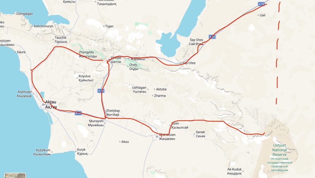
As mentioned in our previous articles, our go to app is Maps.me. It worked perfectly here, although you need to zoom in a lot. For the paved roads, Google Maps works very well.
The roads marked in red are all paved and in good condition. The dotted red road ( Beket Ata A 33 overland road – on Maps.me ) is a shortcut that we initially wanted to take but we were afraid that we won`t have enough fuel. That shortcut has potentially 100-150 km but it all off-road and goes all the way to Beket Ata underground mosque.
Instead, for fuel insurance, we kept using the paved roads highlighted in red.
Refuelling
This could be a bit of a problem, especially if you want to go off-road a lot. Not sure about other cars, but the one that we used was pretty old and was burning a lot. And to be honest, this was something that stopped us from extra driving in off-road conditions.
The main roads highlighted in red above have gas stations. The main ones are in Aktau, Shetpe and Zhanaozen. Be careful, when going to Bozzhira, the last point where you can refuel is Zhanaozen. Most of them have machine for card payments and we recommend to look for Qazaq Oil. There are no gas stations in the desert and if you plan on going longer, we would suggest getting yourself some jerry cans. By the way, gas is really cheap in Kazakhstan, 0.70$ per liter (322 KZT) as of August 2026.
Where to sleep
This is another interesting question, as most of the places cannot be found on Booking.com ( or other platforms ) and some of them not even online, at all. We did a bit of research and these are the ones that we found/ used:
- Shetpe, close to Sherkala mountain – Etno Village Kogez ( yurt camp ) – basic but authentic experience and they gave us a very traditional breakfast with farm ingredients. Can be booked through Tourist Mangystau platform but we contacted them on Whatsapp +77079800104 ( same Google Translate in Russian story )
- Zhanaozen – Hotel Aksaray – we couldn`t find any booking site and they do not have WhatsApp either so we just walked in and luckily we found an available room. You could try calling them at +77293427300 or get somebody who speaks Russian to arrange it for you.
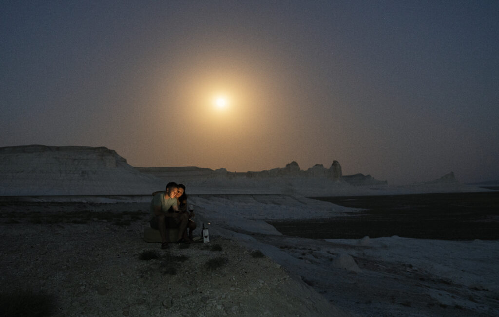
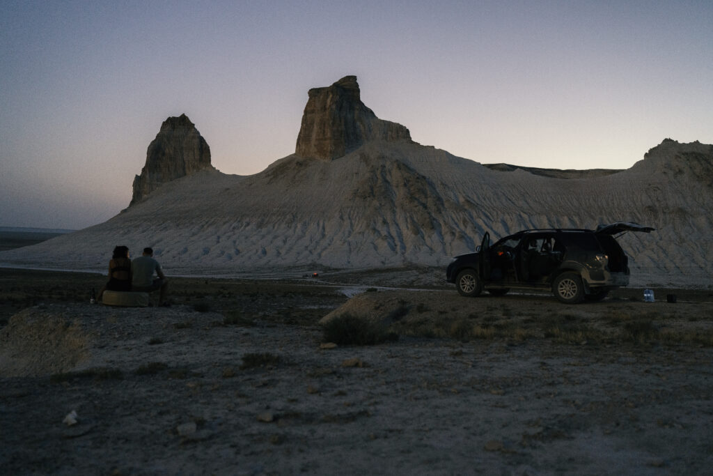
- Bozzhira – we slept in the car ( best night ever )
- Caspian sea – Omir – another nice glamping spot that we discovered but we didn`t have time to check. You can contact them on Whatsapp +77006478804 ( they do speak English )
We couldn`t find anything else closer to the main attractions. For the rest you`ll need to camp or sleep in the car but that`s the beauty of it.
Driving times and distances
For the paved roads, Google Maps works really well.
Aktau -> Shetpe – around 2 hrs 30 min
Shetpe -> Tuzbair Salt lake – around 1 hr 30 m to 2 hrs
Shetpe -> Zhanaozen – around 2 hrs 30 min
Zhanaozen -> Bozzhira – around 100 km – 2 hours ( all paved ) – the road is paved until Beket Ata underground mosque
Zhanaozen -> Aktau ( via highway ) – 2 hrs
Aktau -> Bozzhira – 4 to 5 hrs excluding the distance travelled inside the canyon
One thing we didn`t take into consideration is how big Bozzhira Canyon actually is and if you want to drive in between the viewpoints and going on the upper platform + bottom of the canyon, this will take extra hours. Plan accordingly!
What to visit in Mangystau
1. Bozzhyra Canyon
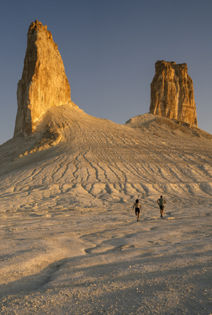
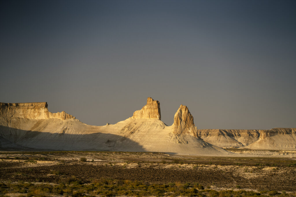
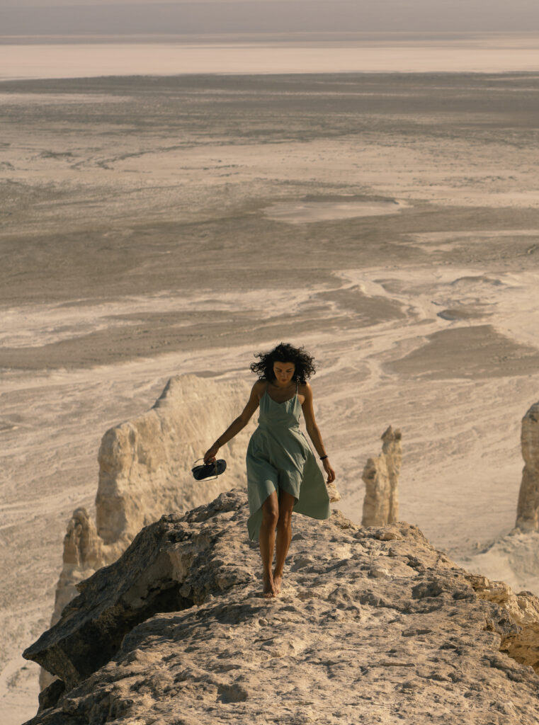
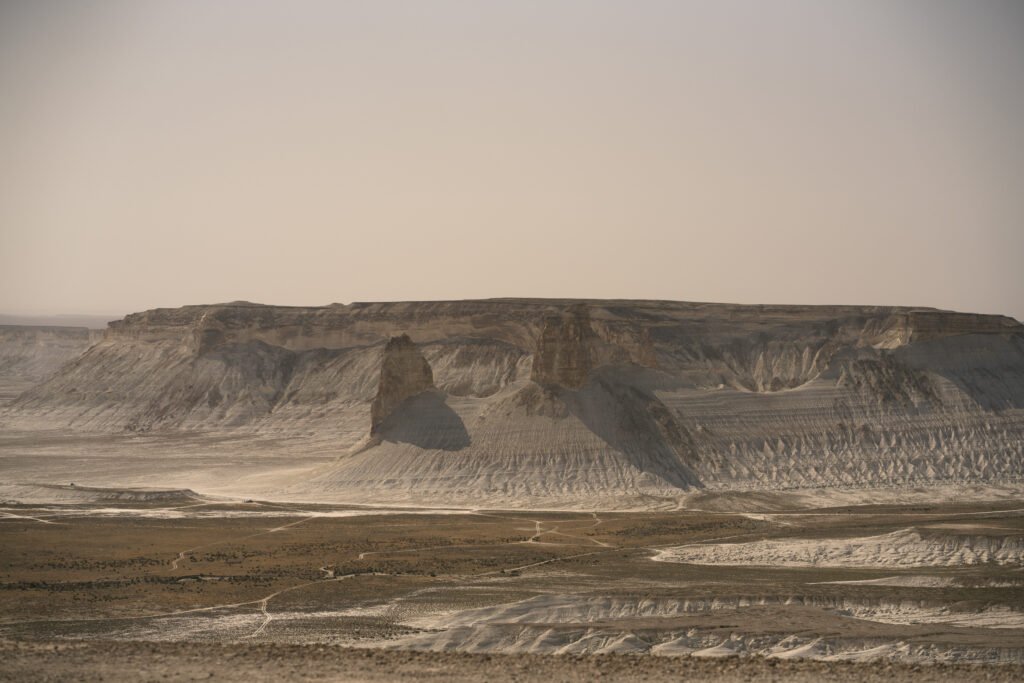
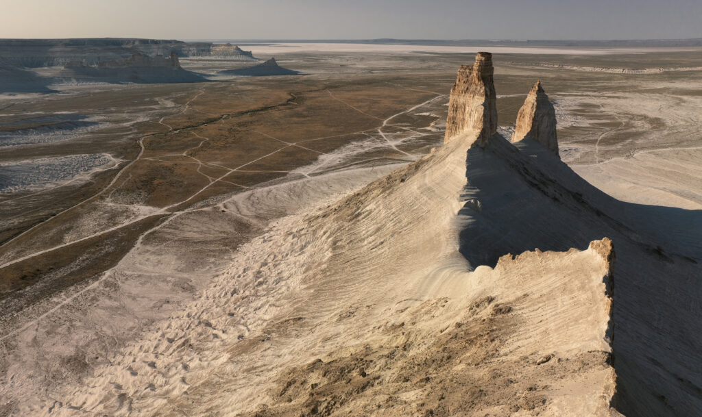
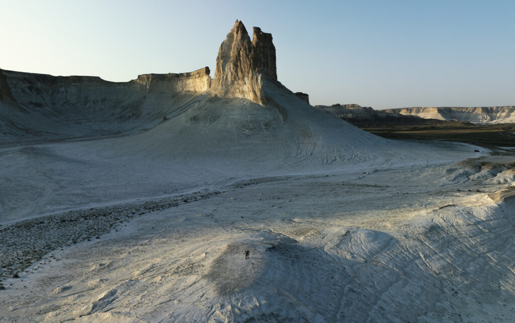
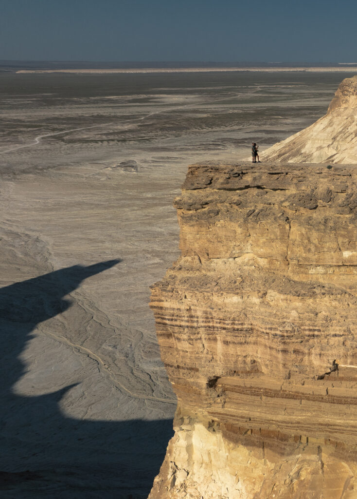
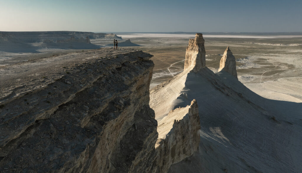
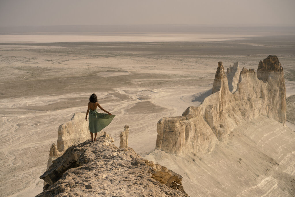
Probably the main reason most of the people want to visit Mangystay, spelled with a J ( Bojira ), Bozzhyra is a mesmerising landscape of vast, chalk-white limestone cliffs and stand alone towers located on the western edge of the Ustyurt Plateau. . Over 200 million years ago, this entire area lay at the bottom of the ancient Tethys Ocean. Today, as a result of millions of years of erosion, it features striking Martian-like rock formations rising up to 250 meters from the desert floor, making it one of the country’s most spectacular natural wonders. The canyon is located roughly 300 kilometers from the city of Aktau and the drive would take approximately 4-5 hours. As mentioned before, the road is all paved until reaching the canyon itself, when it becomes off-road.
Key Highlights & Viewpoints
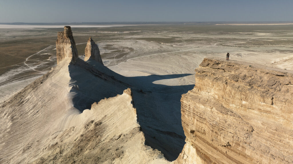
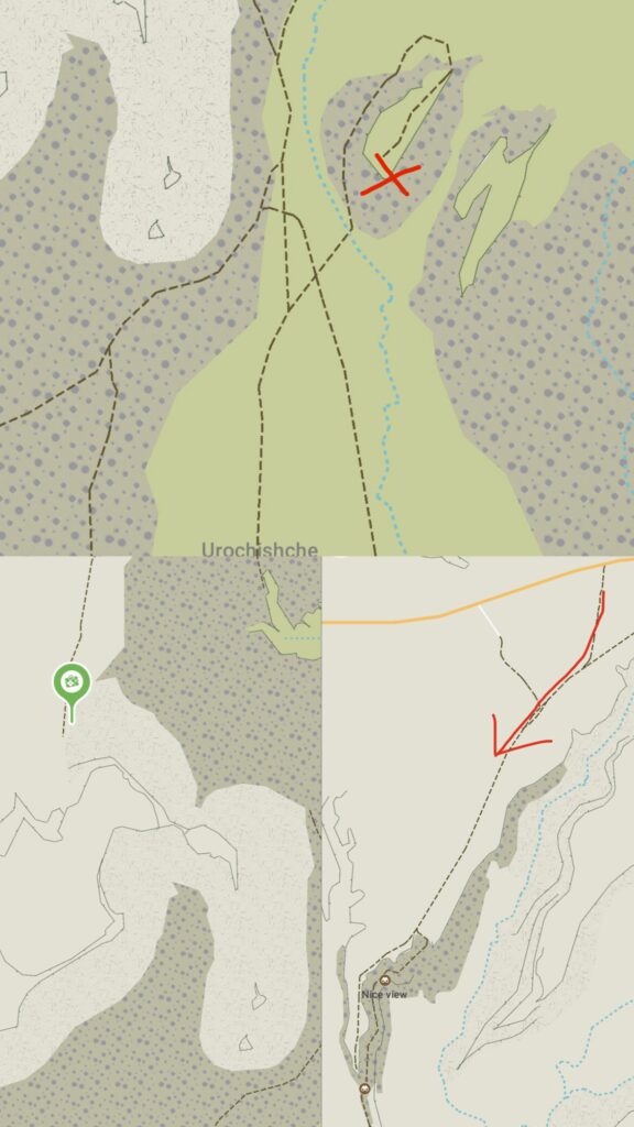
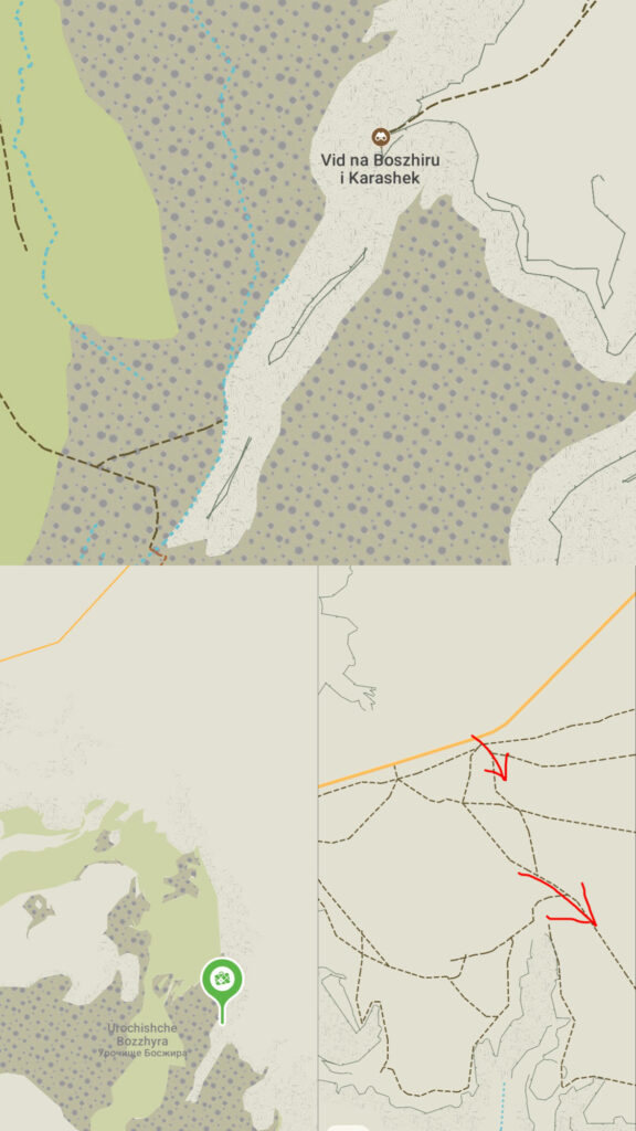
- Azû Tisteri (The Dragon Fangs): The most famous landmark in the valley, featuring two massive limestone towers that rise sharply like teeth out of the flat desert emptiness. Reaching the best viewpoint requires a 15-minute uphill hike, as vehicles cannot drive directly to the edge. It took us a bit of time to figure out where this point is, but we will point it out on the map for you. The GPS coordinates are these: 43°25′40.56″N 54°03′44.12″E
- Ushkir Tau (The Dragon Crest): Known as Viewpoint #1, this high ridge offers sweeping, panoramic views across the upper, middle, and lower layers of the canyon. The GPS coordinates are these: 43°24′27.63″N 54°06′06.45″E
- Prehistoric Fossils: Because the area was once an ocean floor, hikers frequently find fossilized shark teeth, ancient mollusk shells, and petrified marine life scattered across the white chalk soil.
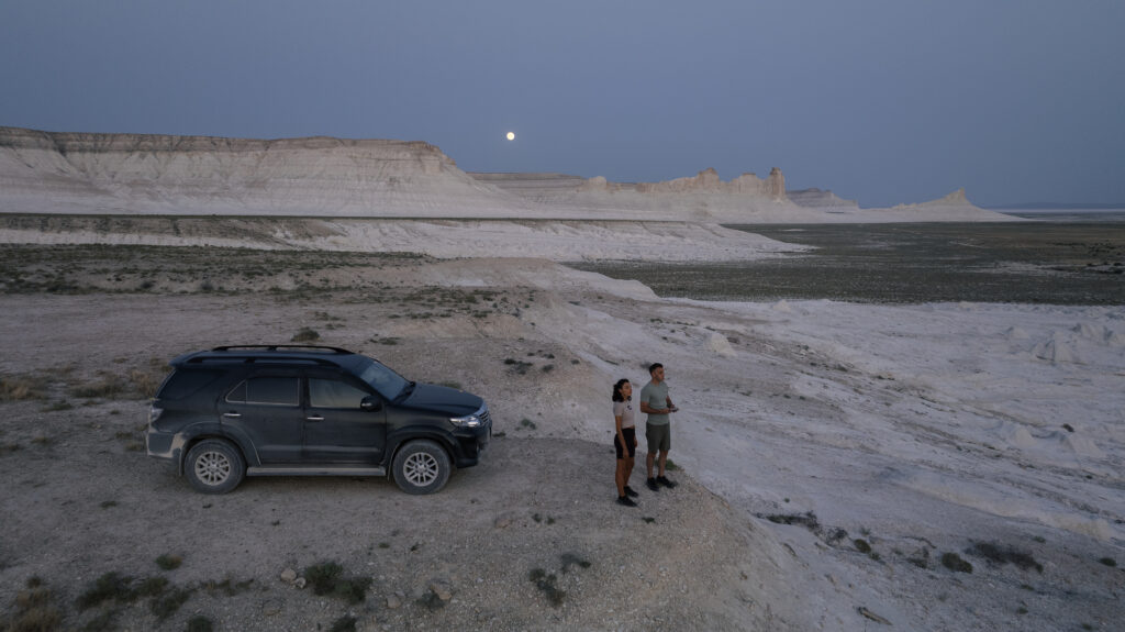
There are no places to sleep around the canyon. The options are either to sleep in Zhanaozen and do it as a day trip ( going back and forth ) or sleep in the canyon itself ( camping or sleeping in the car ). The few cars that do that set their camping spot at the bottom of the canyon, at the base of the fangs, but you can choose whatever place you may like. Our camping spot was this: 43°25′04.6″N 54°04′57.61″E
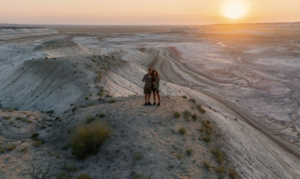
Bear in mind that the canyon is super big and driving in between viewpoints takes hours. We arrived around 16:00 hours so that we can get the sunset light, slept there over the night and then had the following morning and we still feel that we could have had more time.
!!! From The Dragon Crest to The Dragon Fangs ( and viceversa ) you will need to go all the way back to the main road and take the corresponding paths ( East or West ). It will take around 1,5 – 2 hrs from one viewpoint to another and probably another 1-2 hours on top of that to get to the bottom on the fangs ( the roads go all the way around the canyon ). !!!
2. Kyzylkup Tract ( Tiramisu )
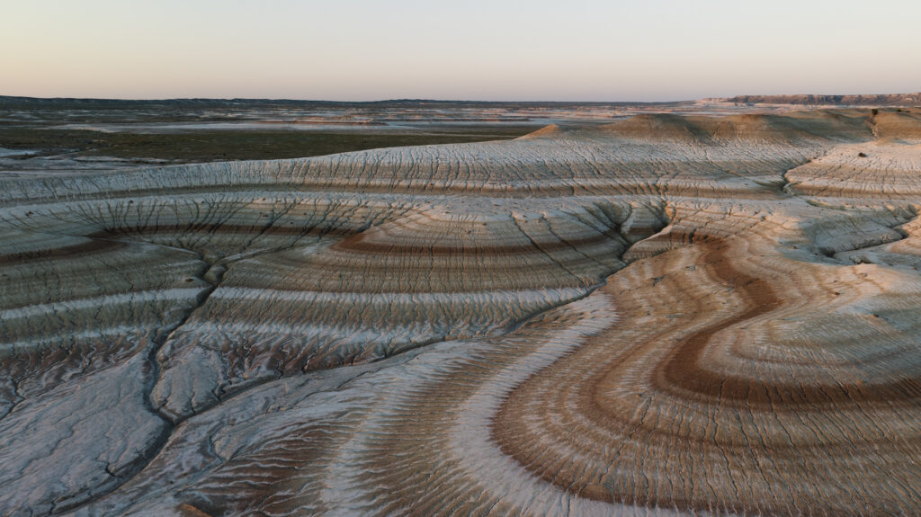
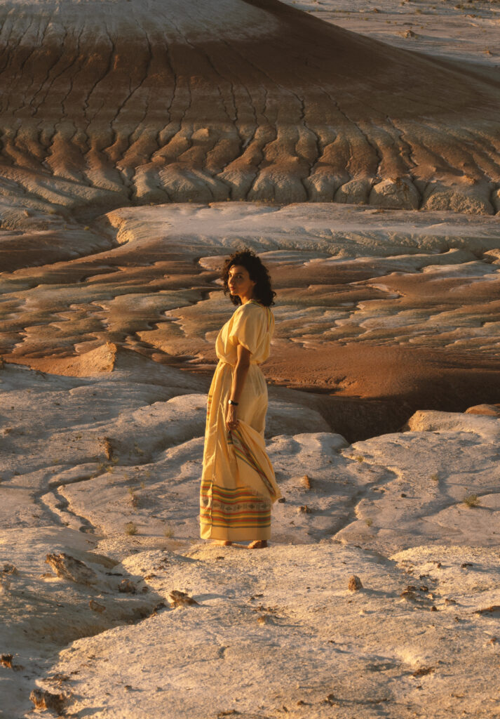
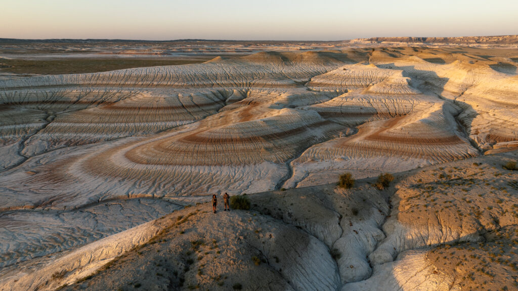
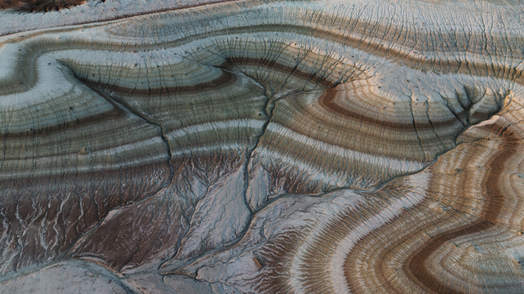
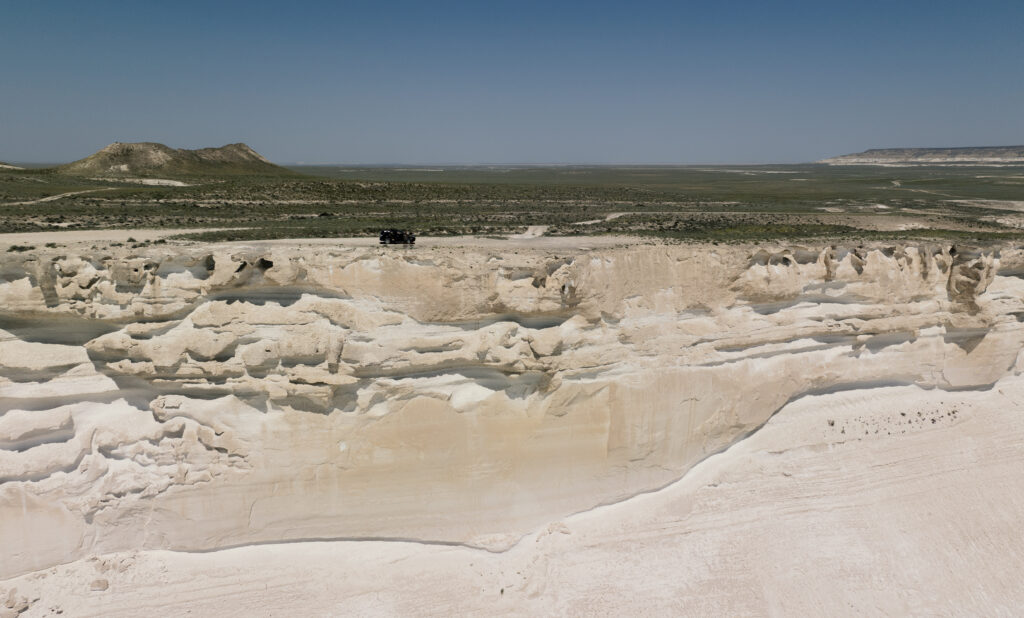
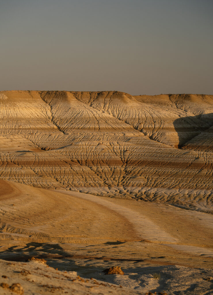
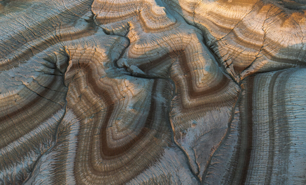
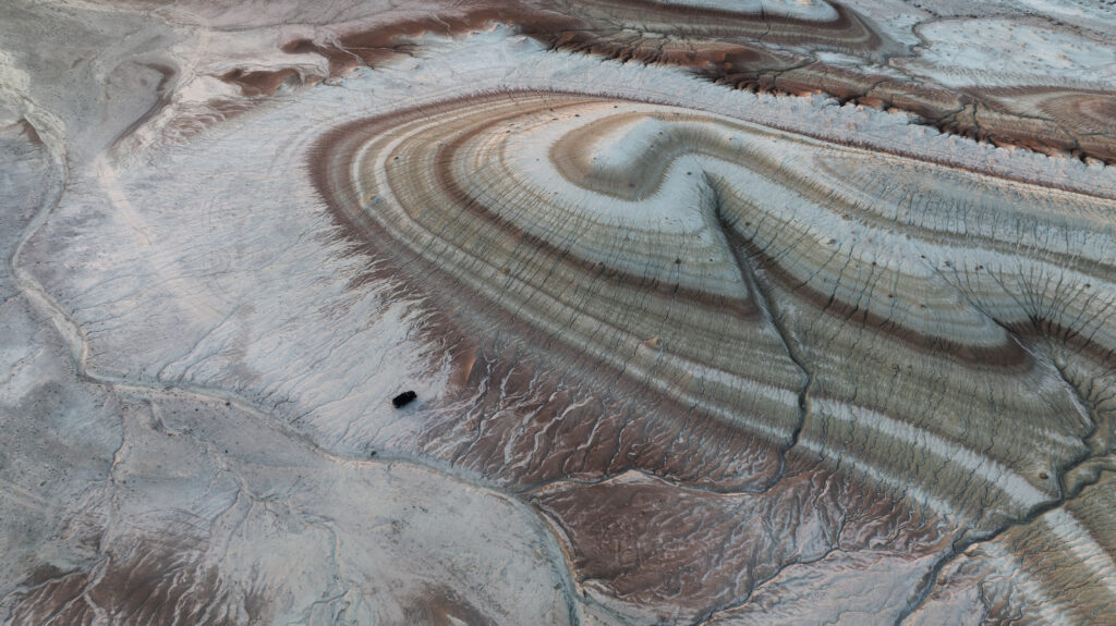
The Kyzylkup tract, widely known as the “Tiramisu Hills,” is a striking geological formation of colourful, layered hills located in the desert steppe of the region. The brilliant white stripes are made of pure chalk, while the vibrant red and pink stripes are the result of iron sediments that periodically settled onto the prehistoric ocean floor.
Kyzylkup sits right off the main asphalt pilgrimage road that leads to the sacred Beket-Ata underground mosque, making it a very convenient stop to bundle with a trip to the nearby iconic Mount Bokty (which stands 7 km south and is featured on Kazakhstan’s 1000 tenge bill). It is basically the same road that goes to Bozzhyra cliffs as well. So technically, you could combine Bozzhyra, Kyzylkup, Bokty and Beket Ata in one go, however, you will need more than 2 days in order to have time for all.
To reach the hills, drivers usually turn off the main highway onto the dirt steppe for a short 15-minute off-road drive. These are the coordinates: 43°28′38.47″N 53°48′28.39″E
The Rain Trap! The bentonite clay is highly treacherous when wet. Even a light rainfall instantly transforms the soil into a slick, soap-like mud that clogs tire treads immediately. Traditional tow trucks cannot reach this remote spot, so never drive off the asphalt if rain is forecasted.
Best Time to Visit: the colors are at their most vibrant and magical during the golden hours of sunrise and sunset.
3. Bokty Mountain
Unfortunately, we didn`t have enough time to visit this one, as we spent the entire sunset at Kyzylkup and then the following day we focused on Bozzhyra.
Mount Bokty (also known as Gora Bokty) is a striking, flat-topped geological wonder located on the Ustyurt Plateau within the Mangystau Province of West Kazakhstan. Rising 165 meters above the surrounding clay and salt pan desert, it is famous for its multicolored, horizontal stripes that give it the distinct appearance of a giant “layered cake” or “pie”.
Its iconic shape is so celebrated nationally that it was even featured on Kazakhstan’s 1000 Tenge banknote.
The GPS coordinates are these: 43°25′22.03″N 53°47′58.32″E
4. Beket Ata underground mosque
This is another place that we attempted to visit but we weren`t allowed to as we were not dressed decently enough ( both wearing shorts ). So, if you want to check it out, pay attention to the attire. The mosque sits at the end of the paved road which goes to Bozzhyra canyon.
The Beket-Ata Underground Mosque is one of the most sacred pilgrimage sites in Kazakhstan. Carved directly into a chalk cliff at the base of the Ustyurt Plateau in the remote Mangystau region, this 18th-century sanctuary attracts thousands of spiritual seekers and travellers each year.
There are several other underground mosques in the area, but this is the most popular. If you are into this type of cultural tourism, you can check out the others: Shopan-Ata ( on the same road, just closer to Zhanaozen ), Shakpak-Ata, Sultan-Epe, Karaman-Ata.
5. Tuzbair Salt Lake
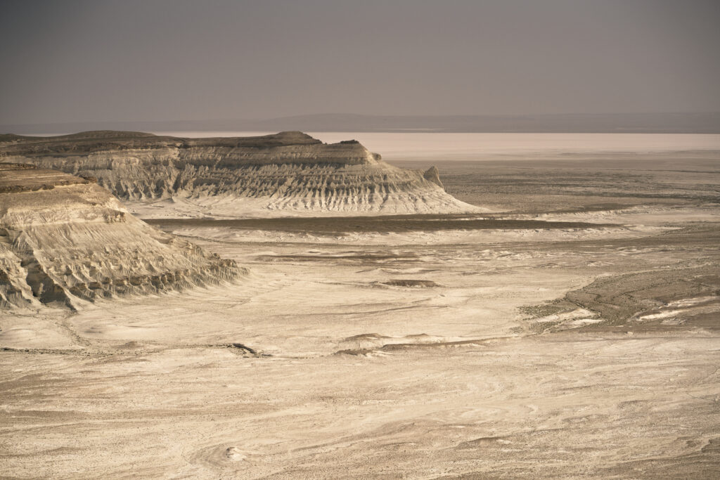
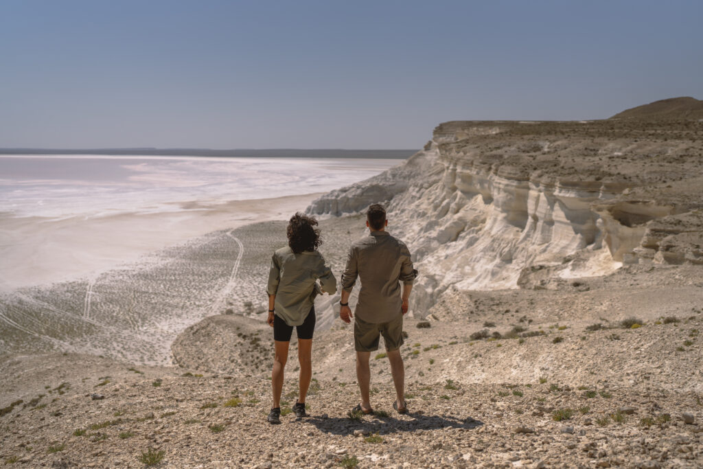
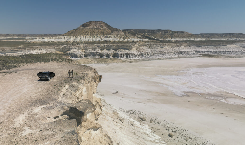
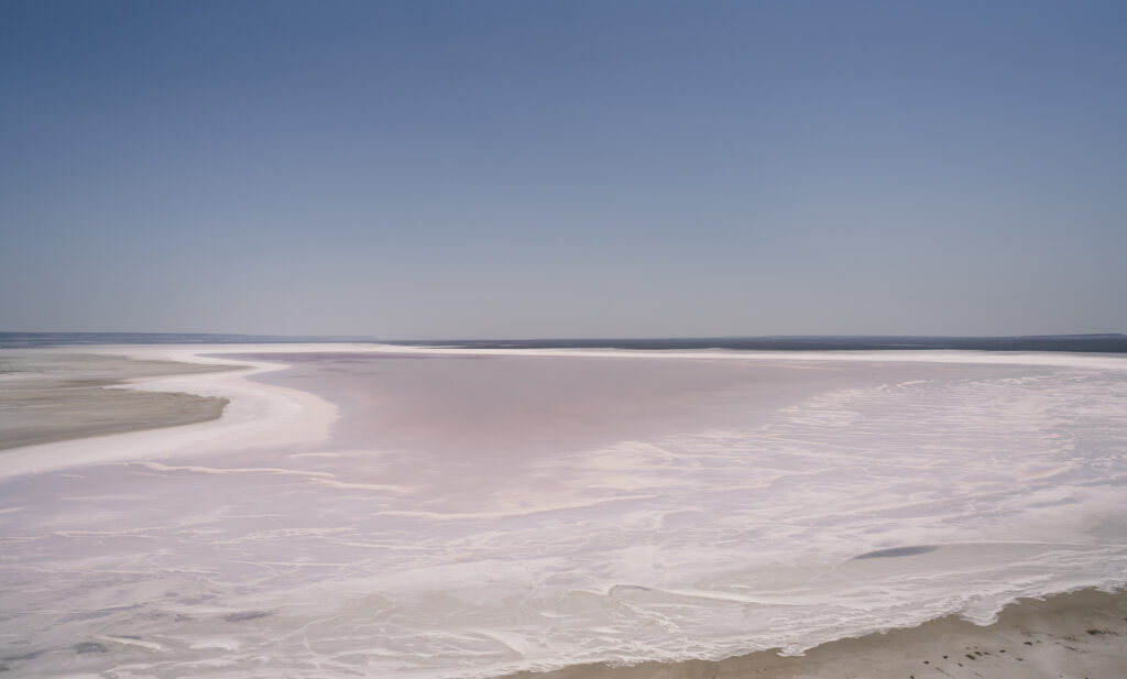
Sor Tuzbair is a breathtaking, otherworldly salt marsh and geological depression.Measuring roughly 15 by 4 kilometers, this stark landscape is famous for its blinding-white salt crusts, soaring limestone cliffs, and massive natural arches. Once part of the ancient Tethys Ocean floor, it has transformed over 250 million years into a desert ecosystem littered with prehistoric shark teeth and fossilised sea urchins. When it rains, the water sitting atop the hard salt crust turns the marsh into a giant natural mirror, flawlessly reflecting the sky and making it a world-renowned destination for landscape photography.
The Upper & Lower Panoramas: Travelers can experience the flats from two distinct vantage points. The Upper Panorama offers an easily accessible, sweeping cliffside view overlooking the vast desert basin. The Lower Panorama requires a challenging 1.5-hour off-road descent to the basin floor, where you can stand directly on the salt crust. You can check out the Tripadvisor reviews here.
Avoid driving vehicles directly onto the salt marsh itself, as heavy cars can easily break through the crust and get trapped in the underlying mud. Travelers are advised to park and walk onto the flats barefoot or in rubber boots.
Water is most reliably present on the salt flats during late spring (April and May), driven by seasonal rain and melting snow. If you are hunting for the perfect mirror photo, the best strategy is to monitor local weather forecasts out of Aktau and aim to arrive 1 to 2 days after a rainfall, ideally during the calm, windless hours of early morning.
Due to the lack of time, we managed only to see the upper panorama, which was absolutely breath-taking.
The GPS coordinates are 44°02′18.34″N 53°09′29.44″E and the lake can be accessed from Shetpe- Beyneu road on the right, driving about 20 min offroad.
6. Mount Sherkala
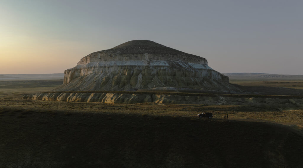
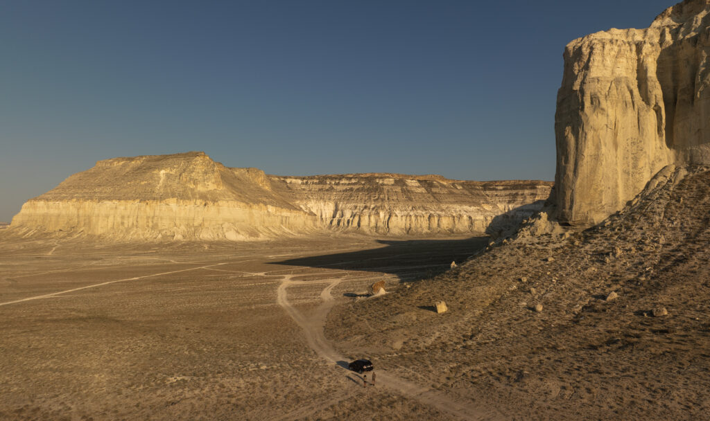
Mount Sherkala is a striking, solitary chalk mountain located in the Mangystau Province of western Kazakhstan, roughly 180 kilometers northeast of the city of Aktau. Rising 332 meters (1,089 feet) above the desert floor, this natural monument is famous for its unique shape. Depending on the angle, it resembles a Kazakh yurt, a Sphinx, or a sleeping lion. The Silk Road Connection: the mountain served as a prominent navigational landmark along the ancient Great Silk Road. It was a vital stopover where caravans from Baghdad to the Volga region would rest.
The place is easily accessible, close to Shetpe.
Nearby attractions: Torysh (The Valley of Balls), Akmysh Oasis, Airakty (The Valley of Castles).
7. Karynzharyk Depression
This is a place that we found about when it was a bit too late. It is not very popular and not even the guided tours go there due to its remote location. However, we managed to find it on Maps.me and we even saw the paths going there. However, I would say that fuel would be a problem, so you definitely need extra jerry cans.
The Karynzharyk Depression is a surreal, hyper-remote salt flat and desert valley located in the southwestern Mangystau Region of Kazakhstan. Situated almost entirely within the protected Ustyurt State Nature Reserve, this massive geological trench stretches roughly 85 kilometers long and drops to 75 meters below sea level at its lowest point. It is famous for its vast, mirror-like salt pans and isolated islands that rise dramatically out of the desert floor.
You can read more about it here.
Although there is not a lot of info about self driving there, we found some roads on maps me that go all the way around Ustyurt Plateau ( Bozzhyra ). The most direct way appears to be via Ak Kuduk which is the nearest village to the Karynzharyk Depression, located about 25 kilometers to the east on the edge of the Karynzharyk Sands in Kazakhstan. GPS coordinates for Ak Kuduk: 42°58′06.75″N 54°05′48.83″E. The easiest way is going from Zhanaozen to Senek and then keeping straight all the way. From Ak Kuduk there are multiple tracks and some of them even go straight to Bozzhyra.
Based on the online info, you need to obtain permission to visit the reserve, apparently. You can check out this website and potentially contact a travel agency to help you with the permit.
What we would like to have done extra
Planning better!
We would have spent extra time at Tuzbair lake, potentially going early morning or before sunset. Maybe exchanging Mount Sherkala for Tuzbair. The place is around 1h 30 min from Etno Village Kogez and it could have been easily reached in the evening. Alternatively, maybe spending a night at the lower panorama of the lake.
We would have spent extra time at Bozzhyra canyon and planned accordingly to the long distances in between places. Also, visit Mount Bokty.
Not to mention Karynzharik, but this would have required more thorough planning.
Also, try to get a car that has a better range or get jerry cans so that we wouldn`t be stressed by the lack of fuel.
Network coverage and internet
There is network coverage mostly in cities and small towns, sometimes randomly also on the paved roads. However, there is no coverage in any of the places mentioned above. Use offline maps, Maps.me is very good at that.
We used e-sims from Revolut, which worked pretty well, when there was coverage.
Payments
Most of the places in cities accept payment by card, however it is super handy to have some cash with you. For example, Etno Village Kogez accepts only cash and there are a lot of restaurants which are the same. Regarding gas stations, Qazaq oil, which is prezent in Shetpe and Zhanaozen accepts payment by card, not sure about the rest.
Also, take into consideration any emergencies ( car breaking down, running out of petrol etc ) and have extra money with you.
Aktau
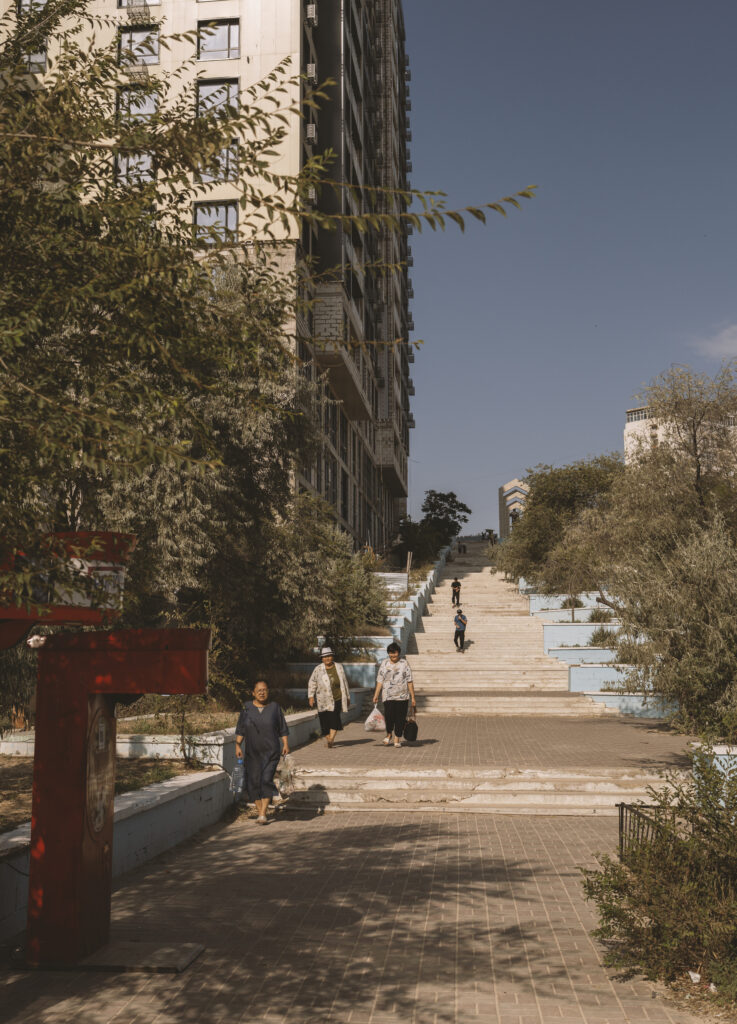
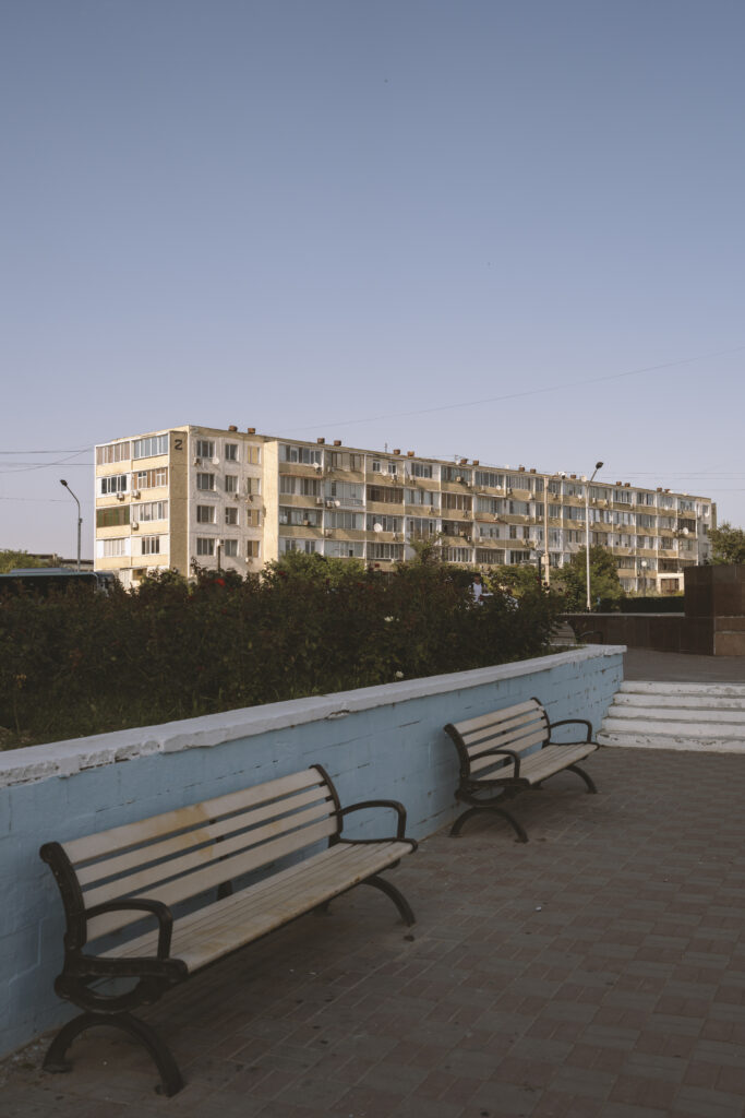
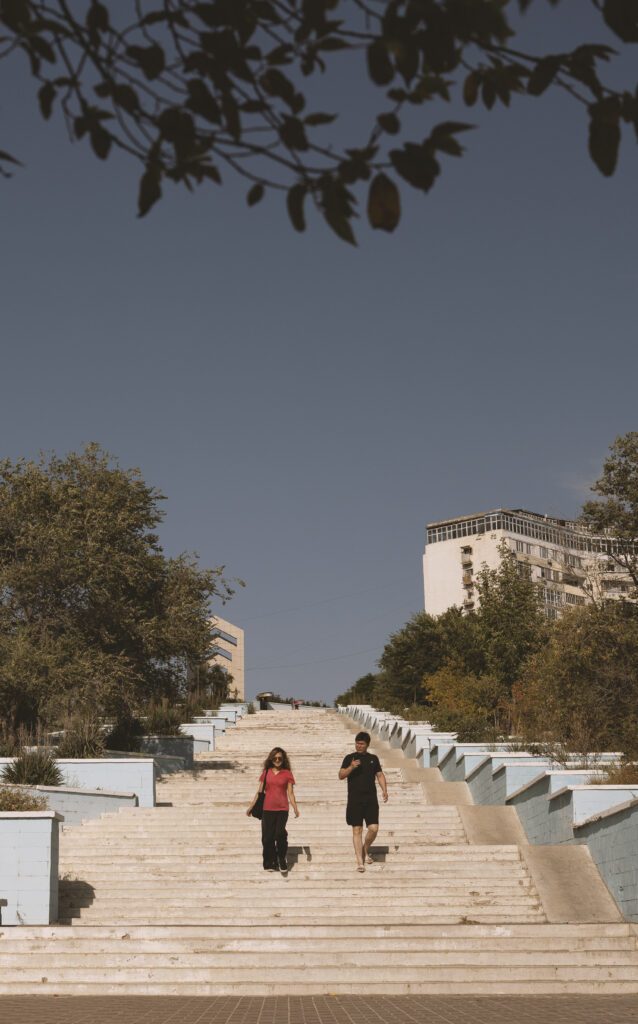
Is a very communistic city on the shore of the Caspian sea. Apart from the fact that is the main gateway to Mangystau and that, in summer, the temperatures go below 30 degrees Celsius ( as opposed to the surrounding desert ) there is nothing cool about it, really.
However, it does have some interesting Communistic history. Aktau is a young Soviet-planned port city on the Caspian Sea in southwestern Kazakhstan, founded in the late 1950s as a strategic industrial and uranium-mining center. Soviet geologists arrived in 1956 to explore the Mangyshlak Peninsula, discovering rich uranium deposits near Cape Melovyi. The settlement began as a remote mining camp in a waterless desert, initially designated under secret codes before gaining official status. Granted city status in 1963, it was renamed Shevchenko in 1964 to honor the exiled Ukrainian poet Taras Shevchenko. Because the area lacked natural fresh water, the Soviets built the world’s first fast-neutron nuclear reactor (BN-350) in 1973 to generate power and desalinate Caspian seawater.
An interesting thing to see, perhaps, that we found out about only after leaving is Melovoy Lighthouse / Tower. An iconic 43-meter architectural landmark perched atop an 11-story residential building near Cape Melovoy, functioning as a unique combined lighthouse and apartment structure.
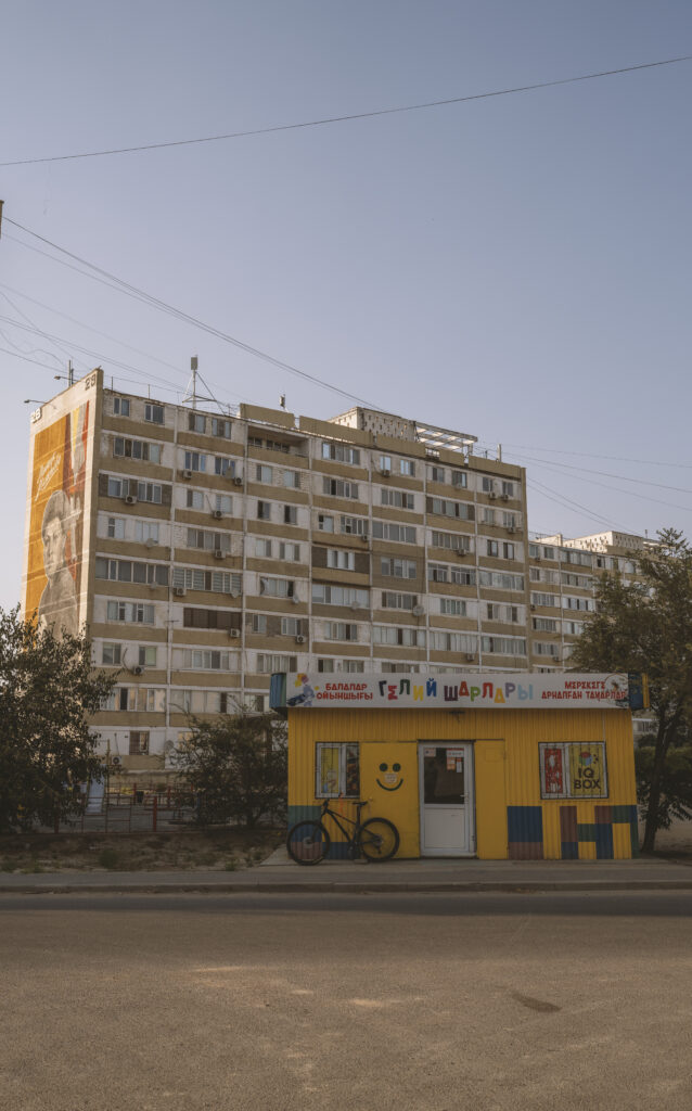
Photo gallery
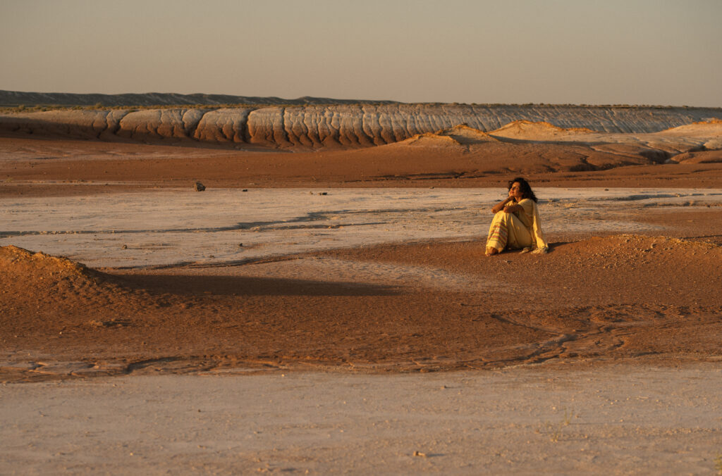
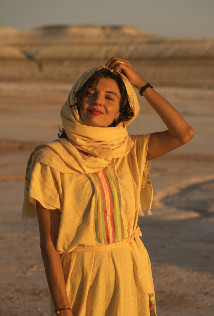
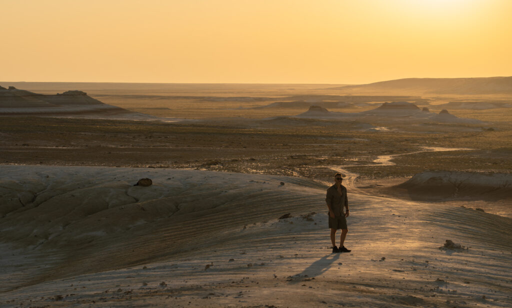
Next, please be inspired by our photo gallery, shot on Sony A7RV, using Sony 35 mm and 85mm.