
Tips for how to self drive from Kyrgyzstan to Tajikistan, on the second highest road in the world
About Pamir Highway
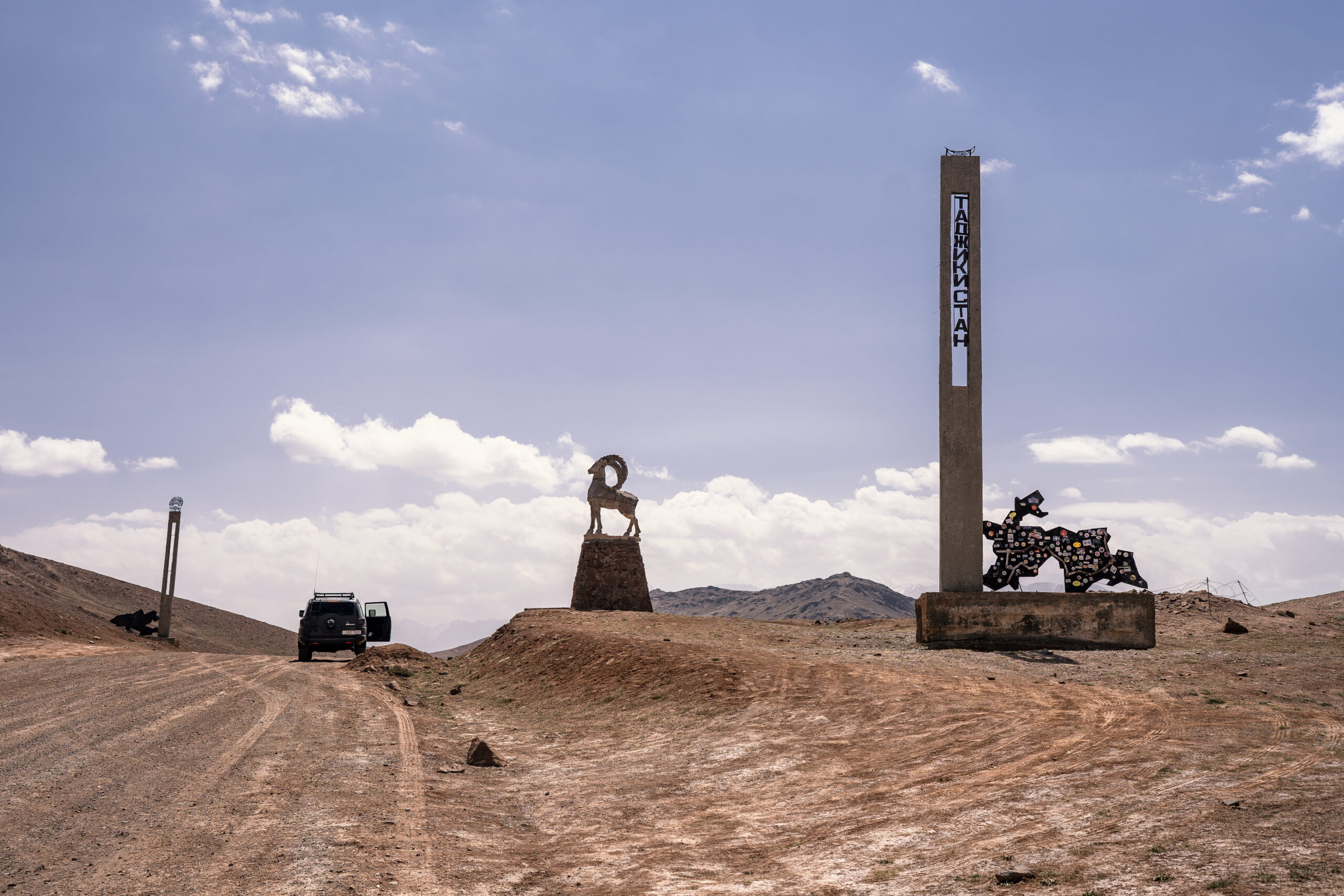
The M41, known informally and more commonly as the Pamir Highway is a road traversing the Pamir Mountains through Afghanistan, Uzbekistan, Tajikistan and Kyrgyzstan with a length of over 1,200 km. It is the only continuous route through the difficult terrain of the mountains and is the main supply route to Tajikistan’s Gorno-Badakhshan Autonomous Region. The route has been in use for millennia, as there are a limited number of viable routes through the high Pamir Mountains. The road formed one link of the ancient Silk Road trade route. M41 is the Soviet road number, but it only remains as an official designation in post-Soviet Uzbekistan, as confirmed by official decree. Kyrgyzstan and Tajikistan have passed decrees abolishing Soviet numbering of highways and assigning their own national numbering.
The route that ourselves and most of the people are doing is a slightly longer variation of the M41, going South along the Afghanistan border, instead of going West to Khorog. The reason is that there is another epic part of the trip, called Wakhan Corridor, just in between Tajikistan and Afghanistan.
The distance in total is about 1500 km.
Getting there
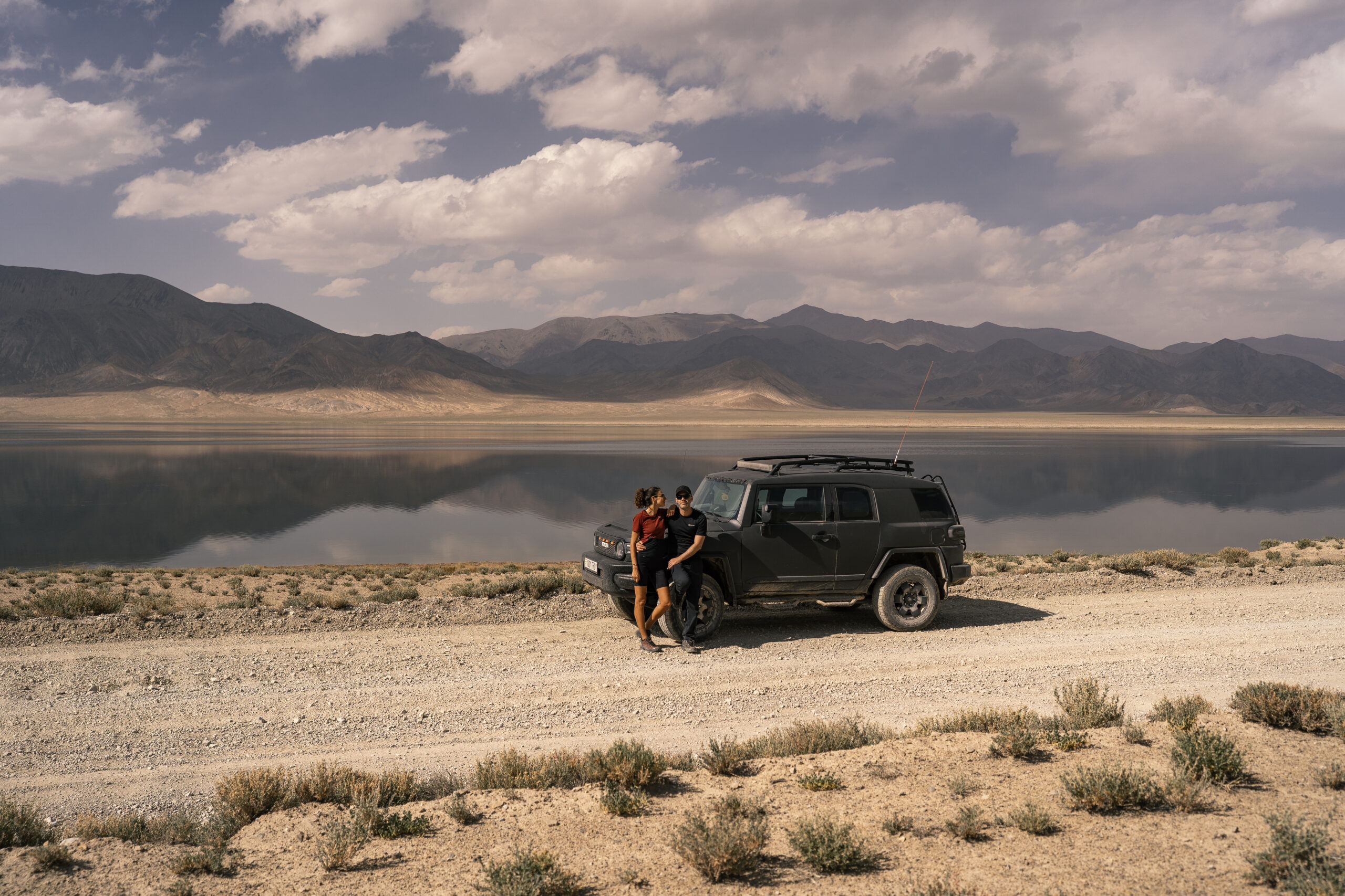
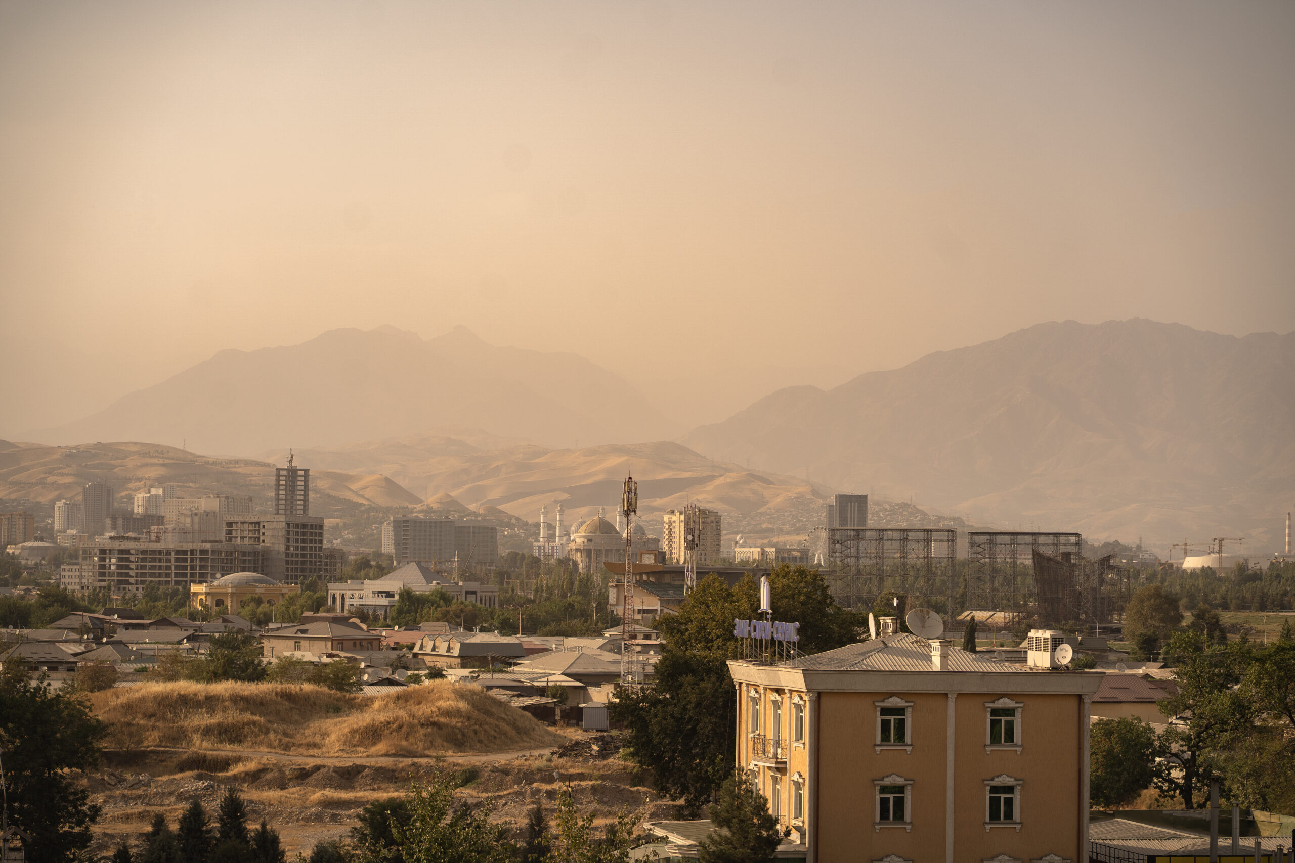
There are 2 ways of doing this trip: from Dushanbe to Osh or the other way around. You will need to land in one place and take off from the other, unless you want to drive both ways. We started in Osh and finished in Dushanbe, due to the better flight connections that we found.
Osh is slightly more connected than Dushanbe. Pegasus Airways has a number of flights there. Dushanbe is quite isolated, Somon Air ( the Tajik national airline ) being the main company that flies in and out of there. Ocasionally, Fly Dubai flies to Dushanbe, as well.
Visa
Currently, there is a number of countries that do not require visa for stays up to 30 days. This includes all European member states. Please consult your own country`s Ministry of Foreign Affairs for up to date information.
GBAO Permit
Additionally, all foreigners will need a GBAO permit to enter Tajikistan. You can easily obtain that by contacting a tourism agency. We obtained it via Pamir Central Asia. However, they only provided electronic copies of it, but it was enough. Try to make hard copies, sometimes it is needed, as there are many police checks on the road. Also, try to have some passport copies with you.
When to go
Due to the latitude and altitude of the country, the best time to go is generally in summer: June to September. Other than that, it will be really cold and you might encounter snow blocking the mountain passes.
How much time do you need?
Contrary to our initial belief, the whole trip can be done in quite a short time. The bare minimum amount of days is 6 days. But this will involve driving most of the day and not having any time in between. 8 or 9 days would be enough to have some spare time and take a break for a day in between the long days. We had a total of 10 days but we reached Dushanbe after 8 days and we didn`t have much to do in Dushanbe.
If we had to do it again, we would probably allow for some more time in South Western Kyrgyzstan ( Sary Tash area ) and North Eastern Tajikistan ( Karakul area ). However, take into account that things can go wrong ( road condition being bag, car breaking down etc ) and maybe have a day or two extra before your flight.
How to do the trip?
Basically, this trip can be done by self driving ( some people were even biking but we think it is a bit extreme ) or by booking a tour ( private or not ). Alternatively, you can hitch-hike and use shared taxis ( we even took with us a Czech girl from Sary Tash to Murghab ) but this can be a bit tricky as you never know who you can meet. We personally think that nothing beats a self driving experience, though.
As mentioned above, there are two ways to do the trip: Dushanbe to Osh or Osho to Dushanbe. It is said that it is better to start in Dushanbe, as the altitude grows gradually and it is easier to acclimatize. ( the highest pass is around 4200-4300 m ) However, the problem that we encountered is that there were not many companies/ private persons renting a car in Tajikistan so we opted out to start in Osh. Ironically, the car we received in Osh was registered in Tajikistan.
Car rental
Considering the remote location and the border crossing, renting a reliable car is not the easiest thing. Most of the rentals happen in Kyrgyzstan and charge a fee to pick up the car back from Tajikistan. We couldn`t find anything for rental in Dushanbe, but ironically our car was registered in Tajikistan.
Bear in mind that the car rental experience is slightly different than in civilized countries: there is no insurance whatsoever, most likely the deposit and the rental are paid in cash, the cars can be different than booked etc.
According to our research, there were 3 places we could rent a car from, listed below. There might be other options, as well, but not that we are aware of.
- Pamir Central Asia – the agency we used; basically they put you in contact with various private persons who rent their cars. The overall experience was ok, the car was in good condition, they showed up on time and they refunded the deposit without problems. Also, the price was quite good. However, it was not the car that we booked and nobody spoke English ( we had to use Google Translate to communicate ). We had to transfer 25% in advance for securing the booking and paid for the rest in cash, upon arrival.
- OIBEK SADYKBAEV – a guy recommended by OunTravela which has about 12 vehicles; he has good reviews but unfortunately he didn`t have any availability for our dates; you can contact him via Oun Travela link or at: s.oibek@mail.ru, pamirextrime@gmail.com, +996551006115
- Visit Alay – this is another tourism agency that provides rentals; however, they are more expensive than the one we got, the forbid you to sleep in the car and, as far as we checked, had worse reviews. But I guess it can be a back up, in case there is no availability anywhere else.
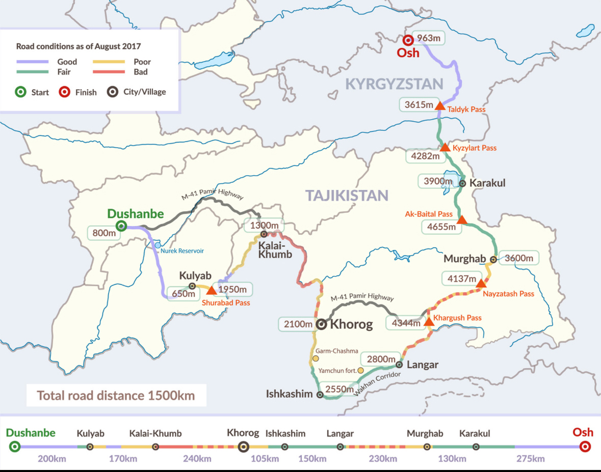
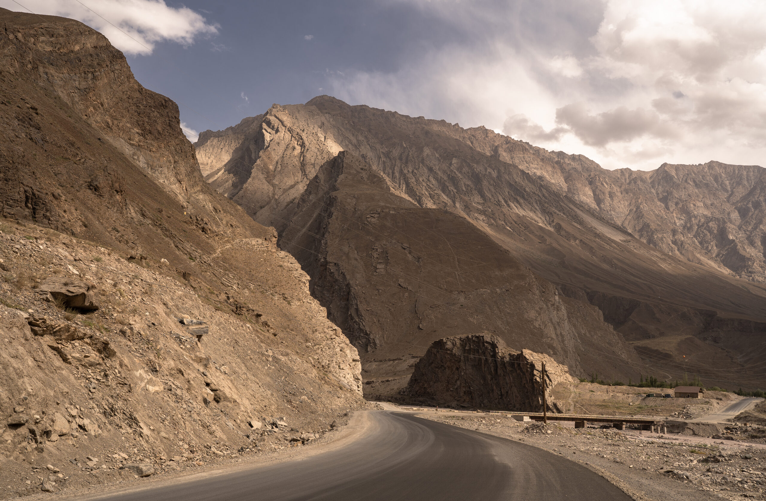
The Pamir highway route
This is by far the best map we could find, which includes the different altitudes, distances and road conditions for each section of the road. Although is dated from 2017, we can confirm that the conditions are still the same in August 2025. Save it and thank us later.
Driving times
Osh to Sary Tash – 3 to 4 hours ( Google Maps time is correct )
Sary Tash to Karakul – about 4-5 hours ( taking into consideration the border crossing )
Karakul to Murghab – 2-3 hours
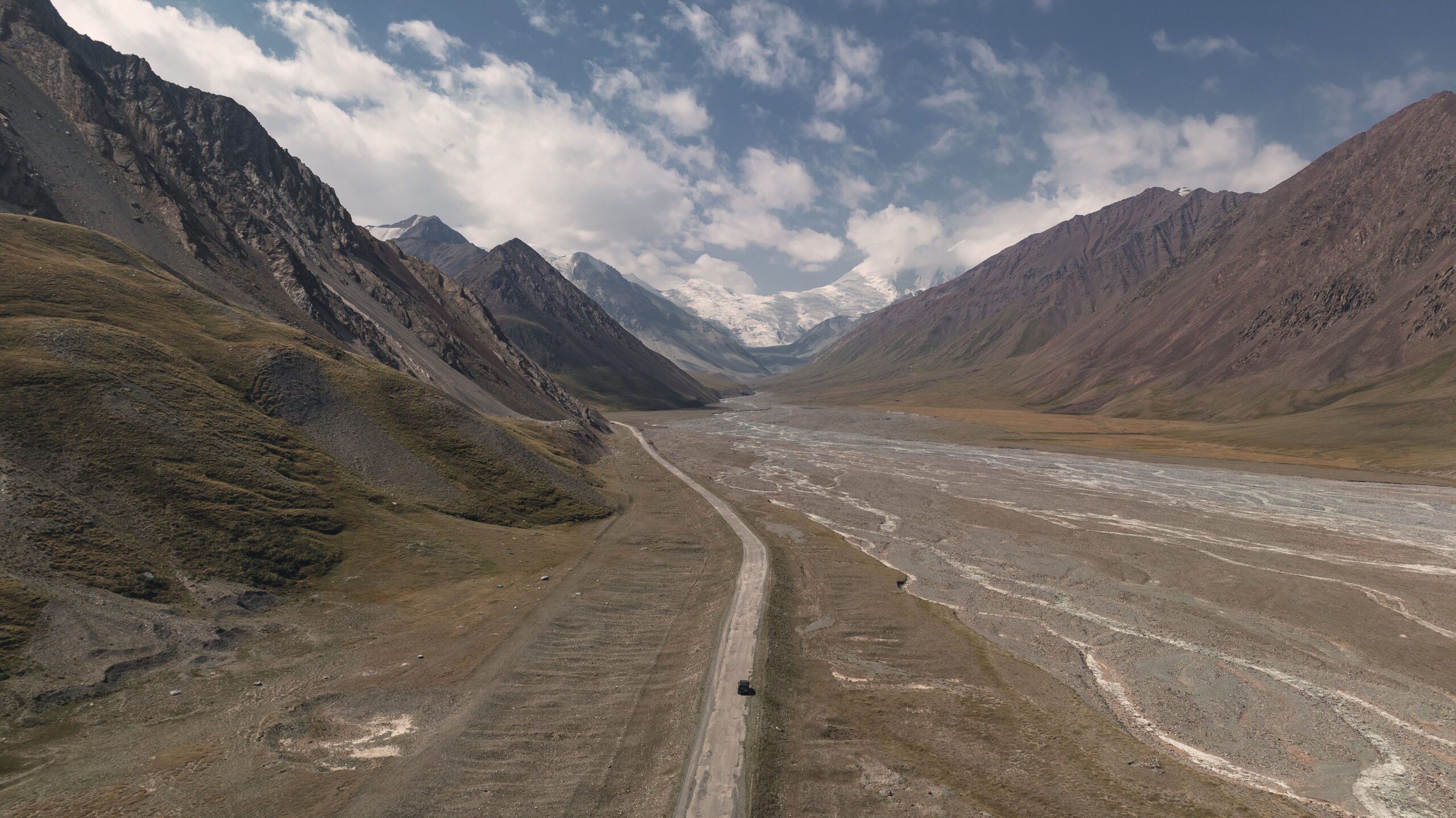
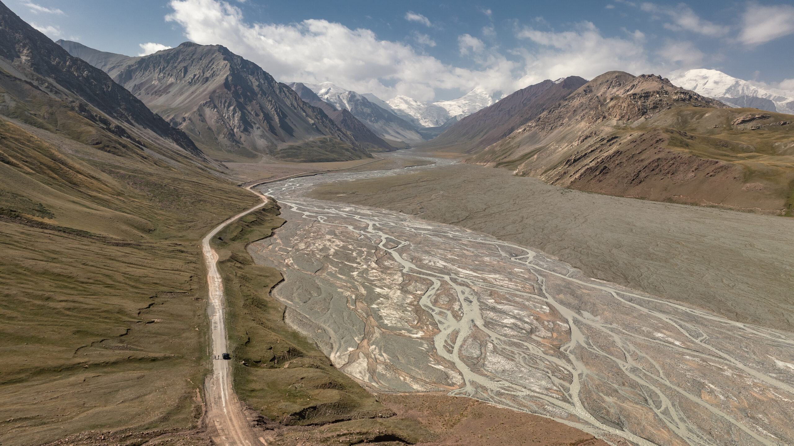
Murghab to Langar – about 6 to 8 hours BUT close to Langar there is a river crossing which can only be done in the morning ( details below )
Langar to Khorog – about 4 – 5 hours
Khorog to Kalai – Khum – 8 + hours ( the worst road condition – lots of potholes )
Khalai Khum to Dushanbe via Kulob – 5-6 hours ( relatively good road but a lot of police checks and some crazy driving )
River crossing
!!! ONE IMPORTANT POINT TO NOTE: there is a river crossing just before Langar when coming from Murghab ( location in the picture below ). The river is fed by the glacier and the water level rises during the day, making it hard/ impossible to cross after 10 -11 am. Make sure you plan to cross it early morning or sleep in the car the night before ( like we did ). There is no accommodation before Langar ( coming from Murghab ) so the only options would be camping or sleeping in the car.

Refuelling
Contrary to our expectations, there were quite a few refuelling points on this route, which permitted us to drive without carrying additional jerrycans and with a car with a rather high fuel consumption.
However, bear in mind that the fuel quality in the high altitude regions is not of the highest quality and sometimes the gas stations are not functional but there are always some people who sell fuel ( in towns/ villages ).
The main refuelling points would be: Osh, Sary Tash ( the gas station is not working but ask about “BENZIN” at the local shop across the petro station ), possibly Karakul village, Murghab, Langar/ Zong ( there are many villages on that side ), Khorog. After Khorog there are many villages and it is easy to find fuel.
Navigation
Although Google Maps still works in some regions, make sure you have Maps.me and Tajikistan map downloaded. It is a must.
Where to stay
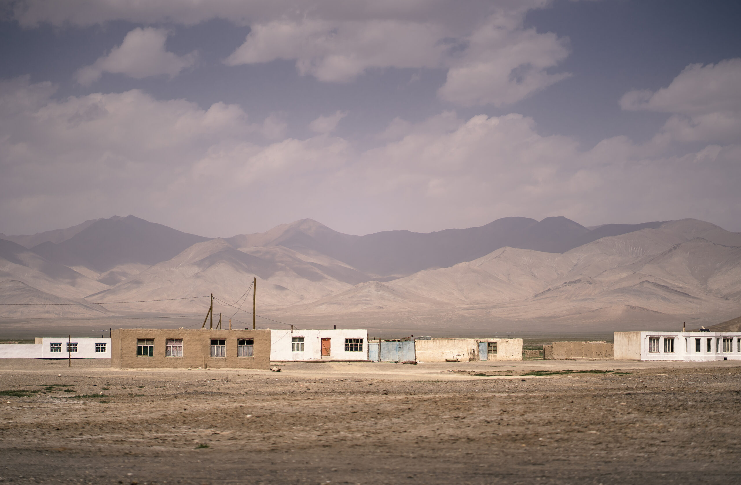
Pretty much anywhere where I mentioned a refuelling point, meaning: Osh, Sary Tash, Karakul, Murghab, Langar/ Zong, Khorog, Kalai Khum. But before going further, please bear in mind that most of the accommodations are very basic in the sense that they have hot water in a shared bathroom, a bed and some fried eggs for breakfast but that is all.
The most beautiful area is from Sary Tash ( Alay Valley ) until Murghab. If you have extra time, spend it here.
Below you can find our accommodations:
Sary Tash – Sarysoul Mountain lodge – shared bathroom but very good food; one of the best accommodations that we had; the host speak good English
Murghab – Homestay Tillokhon – for some reason this place dissapeared from Booking – however, there are few homestays in Google.maps – try to individually contact them via Whatsapp; bear in mind that 99% of them only speak Russian and Tajik ( Google Translate is a good idea )
Zong ( Whakan Valley ) – homestay – this is a place hosted by a local family but administered by one of the daughters – Nuriya – who doesn`t live there but speaks very good English; although we didn`t get to stay there because we where trapped on the mountain due to the river crossing, we managed to take breakfast there; everything is very basic but the family is very kind and honest
Khorogh – Pamir Palace – this is the best hotel in this small town and therefore everyone is using it; it is a proper hotel, good price / quality radio , clean, nice breakfast and nice food in the restaurant
Kalai Khum – Karon Palace – although we did not stay here, this was the best hotel in the area; we would not reccommend the place we stayed at
Trip highlights – 11 points of interest
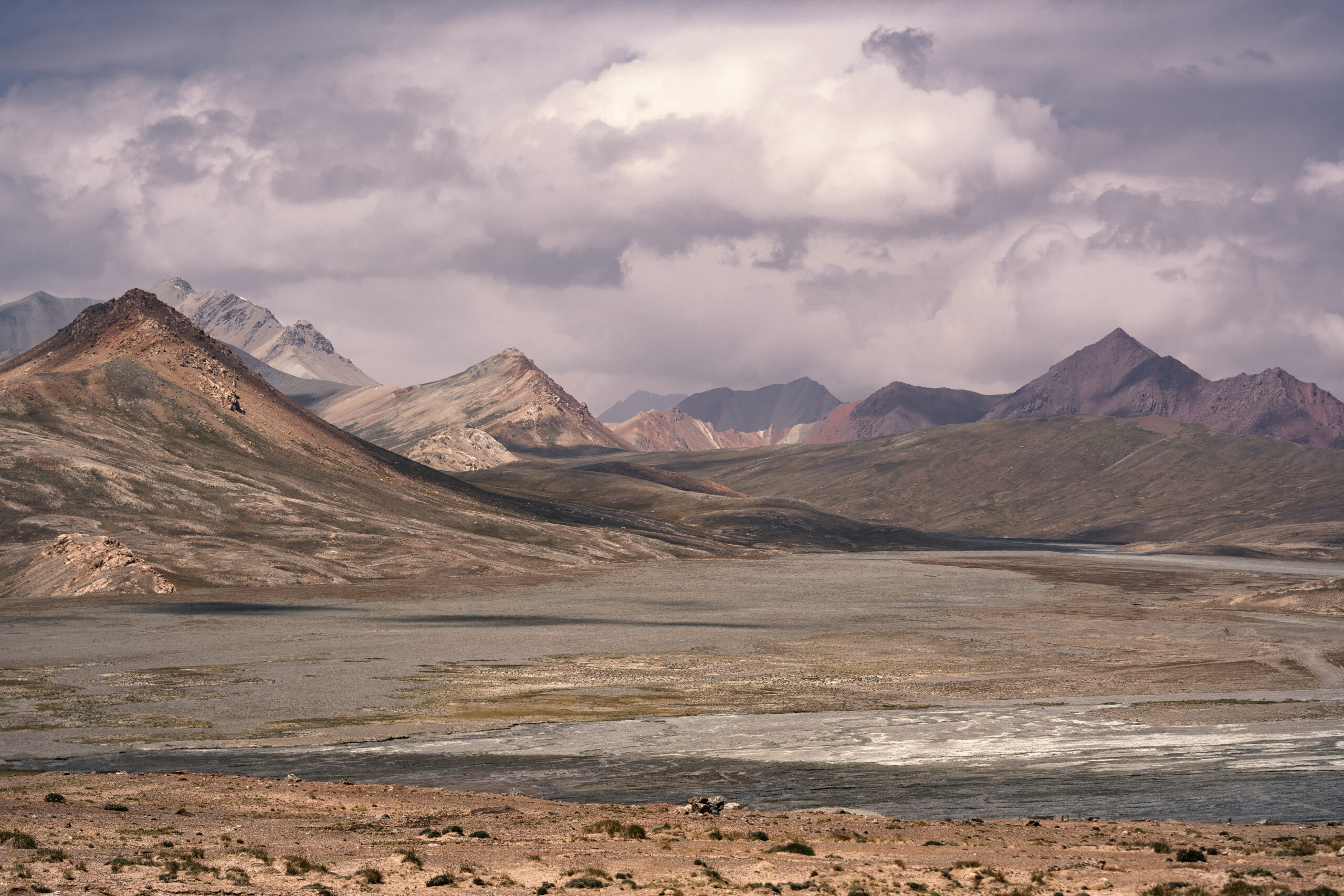
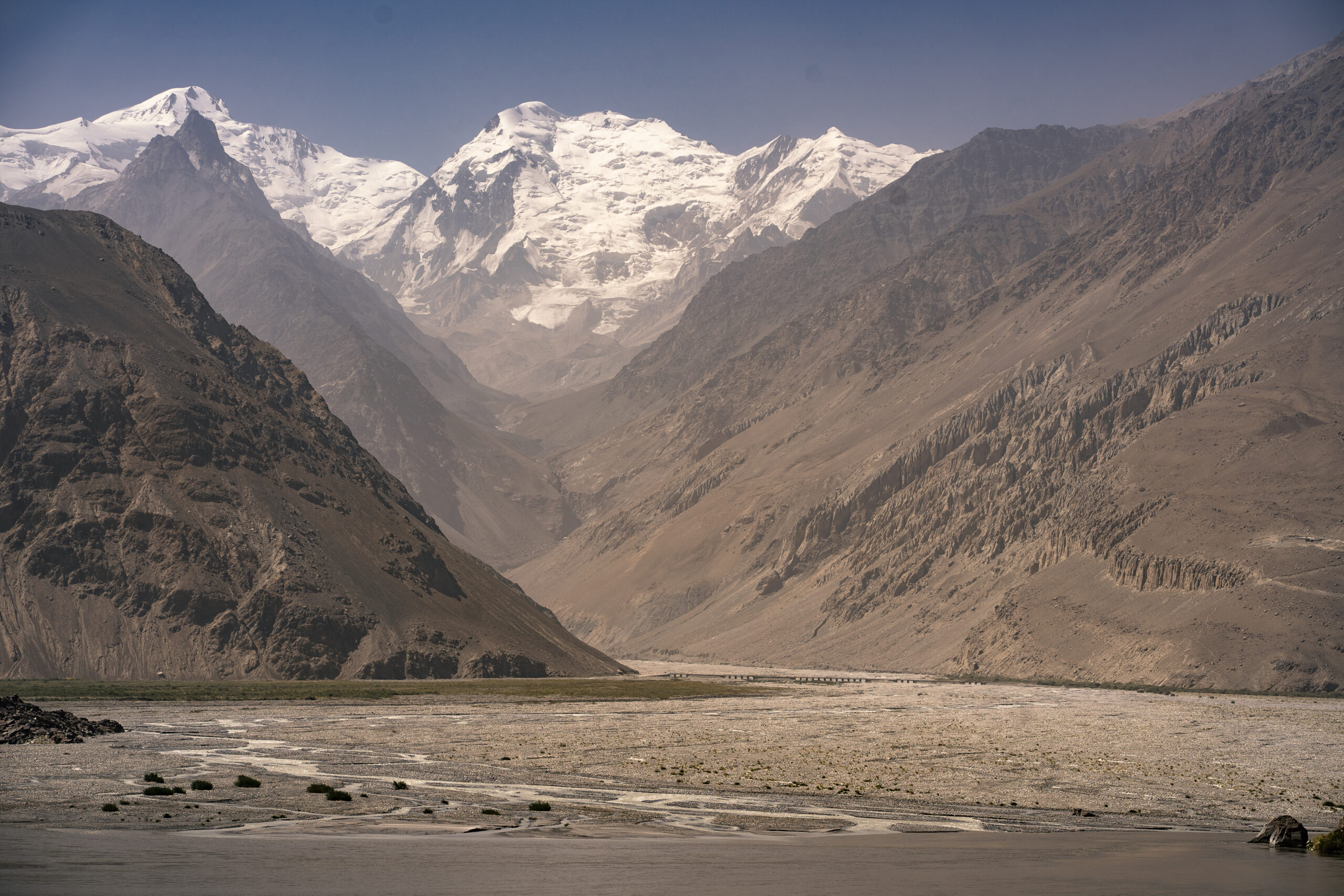
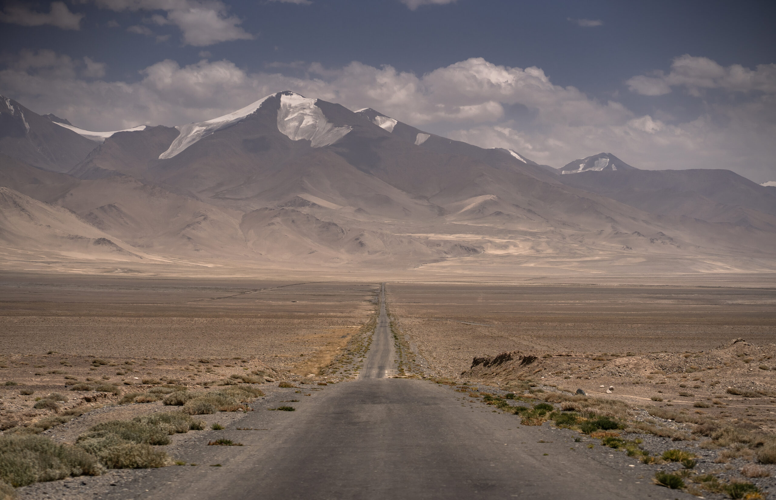
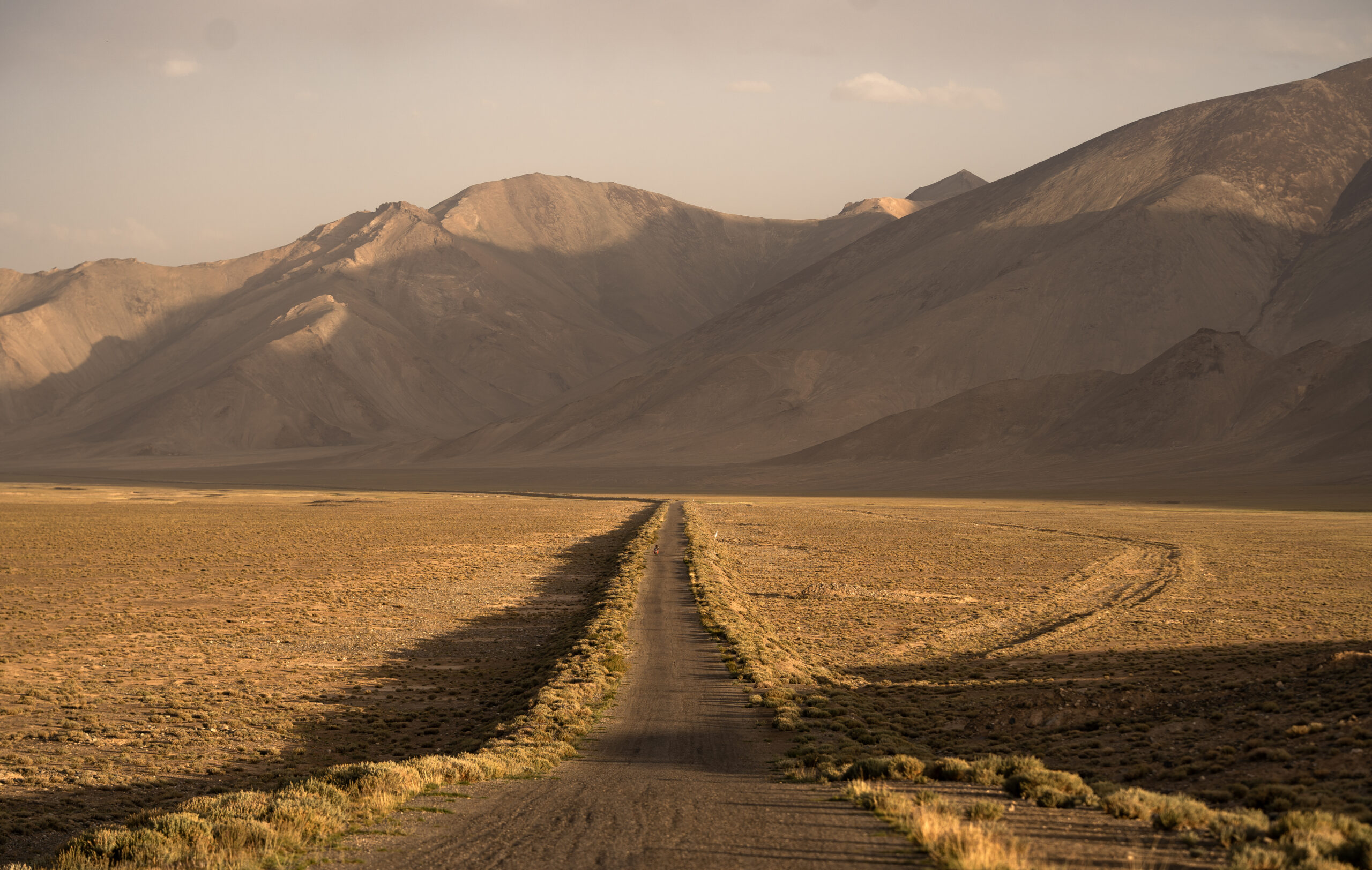
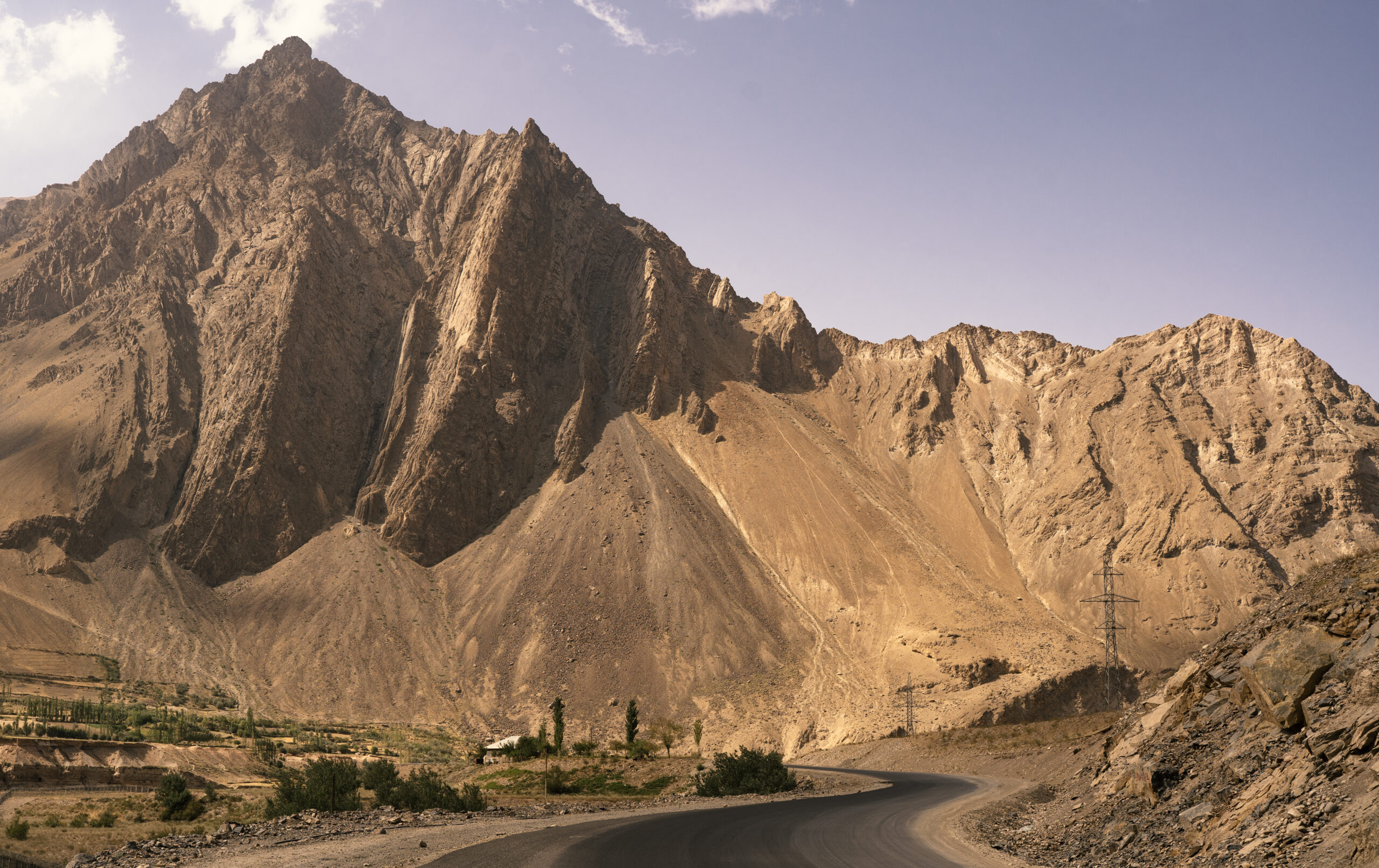
As mentioned before, the most spectacular area is in the South Kyrgyzstan and Eastern Tajikistan, from Sary Tash to Murghab/ Kargoush. There is a second best area, Wakhan Corridor and Wakhan valley, where you drive along Afghanistan border. Our favorites, so far, were:
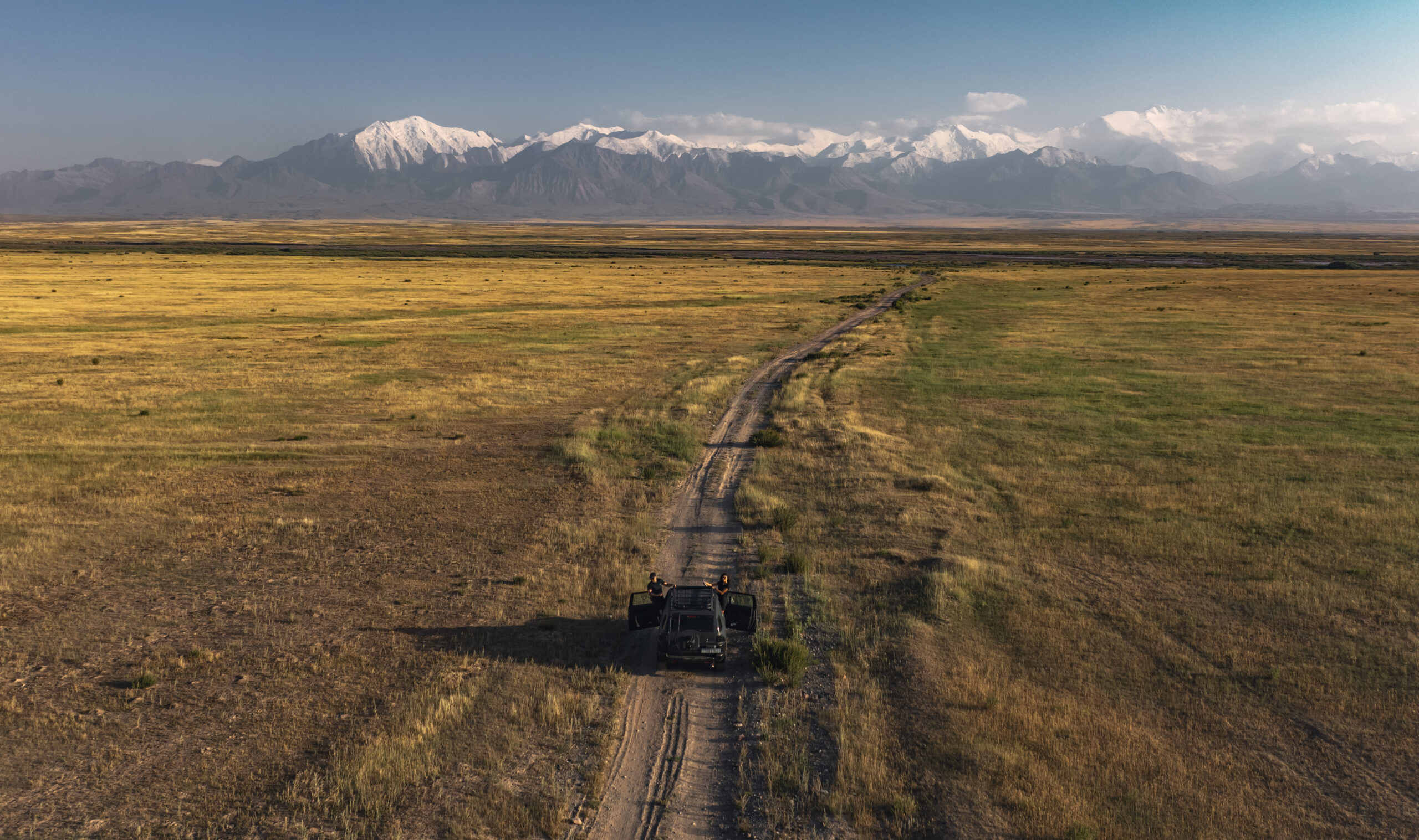
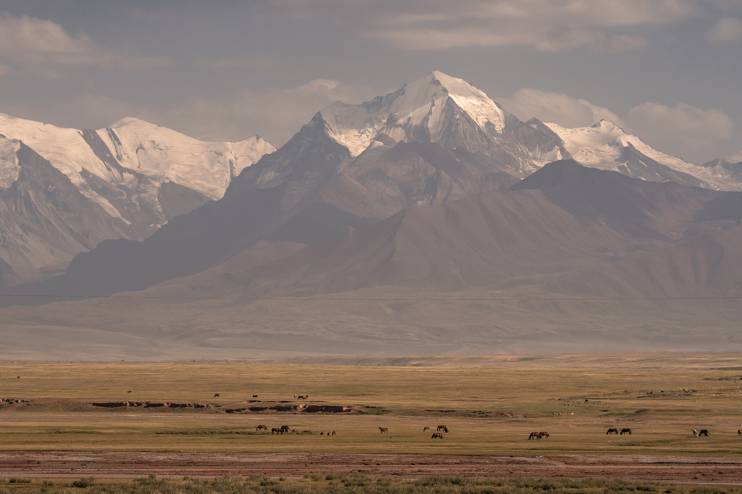
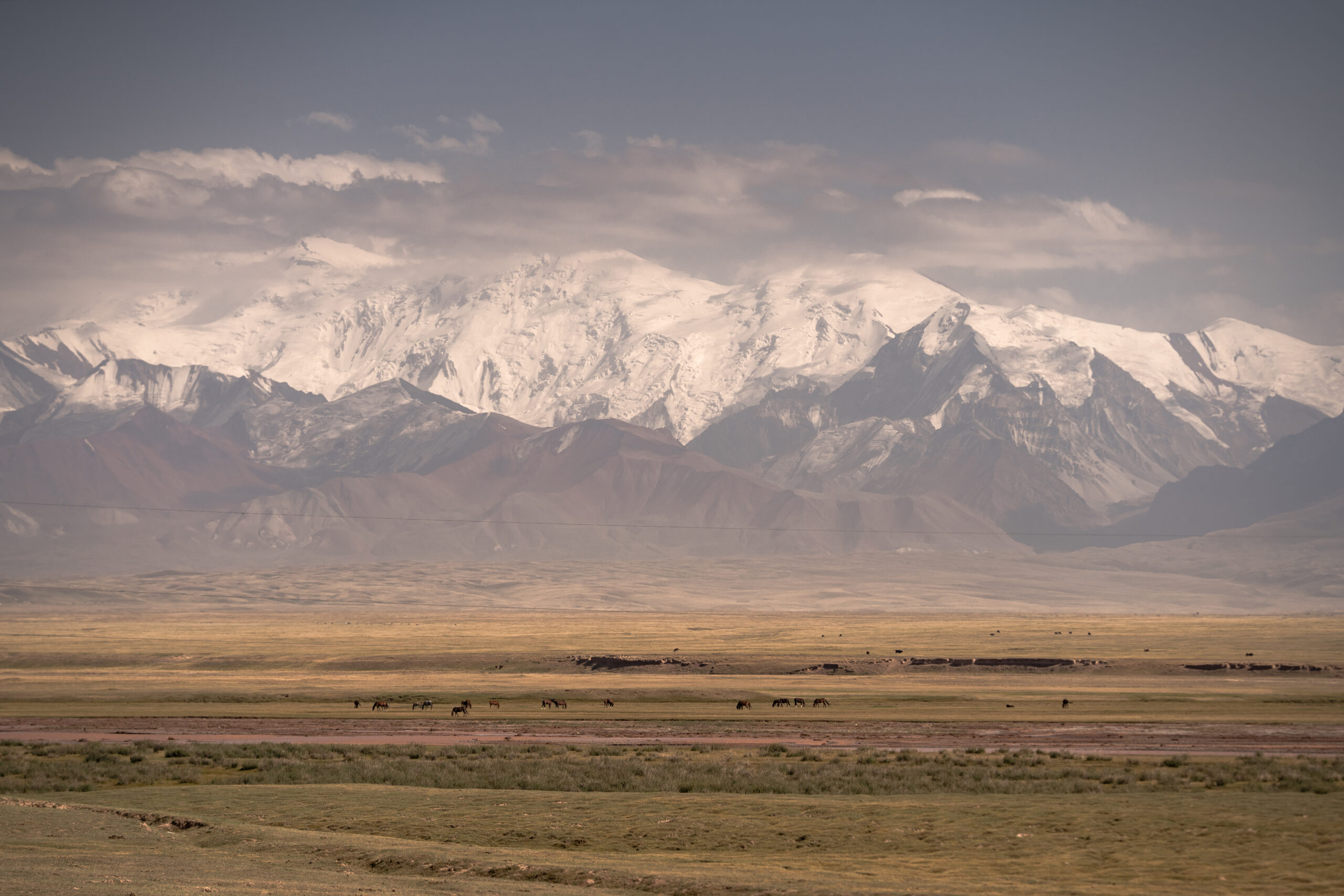
1. Alay Valley ( Sary Tash – Sary Mogul ) – amazing views at the base of Lenin Peak and in the entire valley
2. Kyzyl Art Pass and Kyzyl art border ( 4282 m )
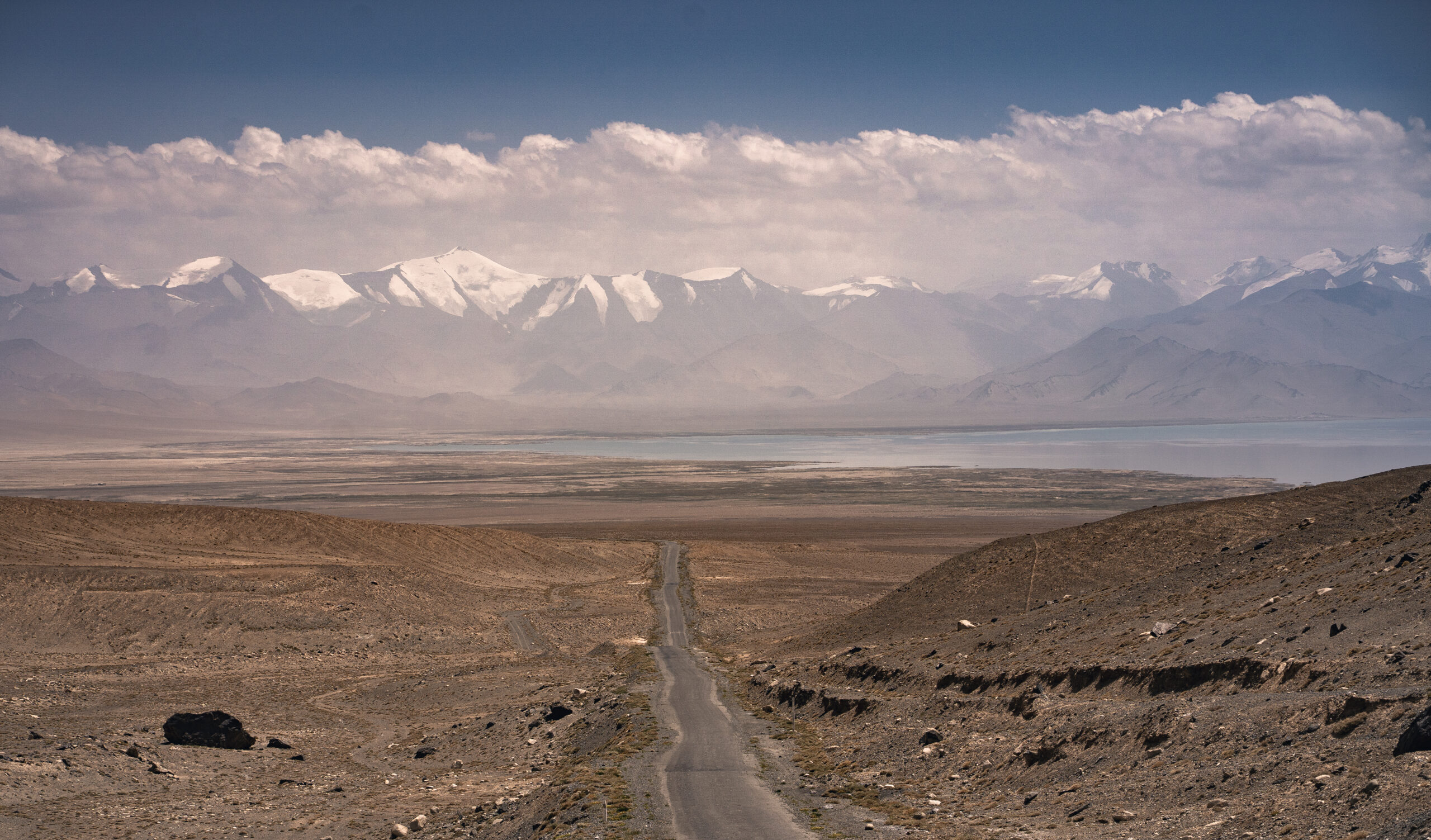
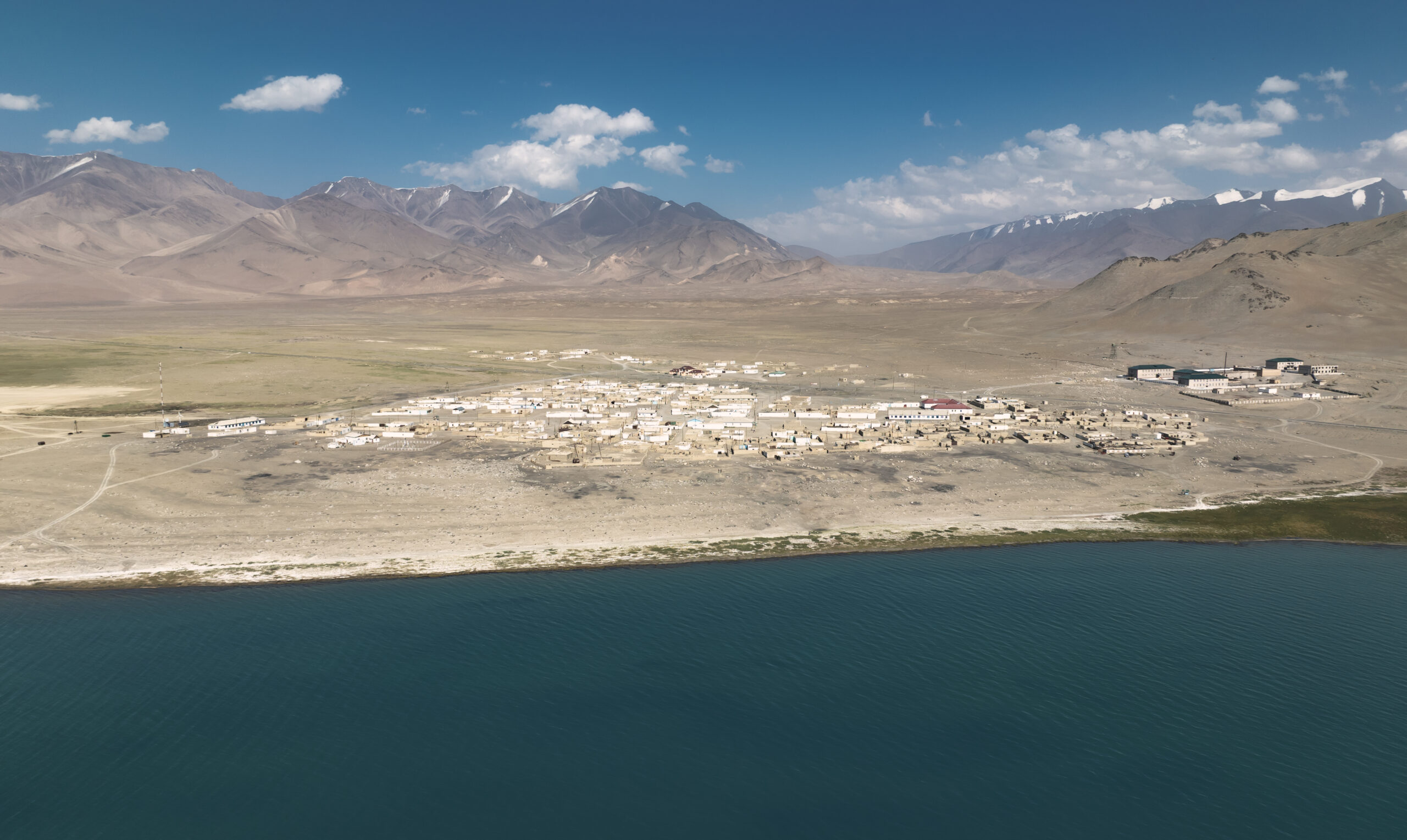
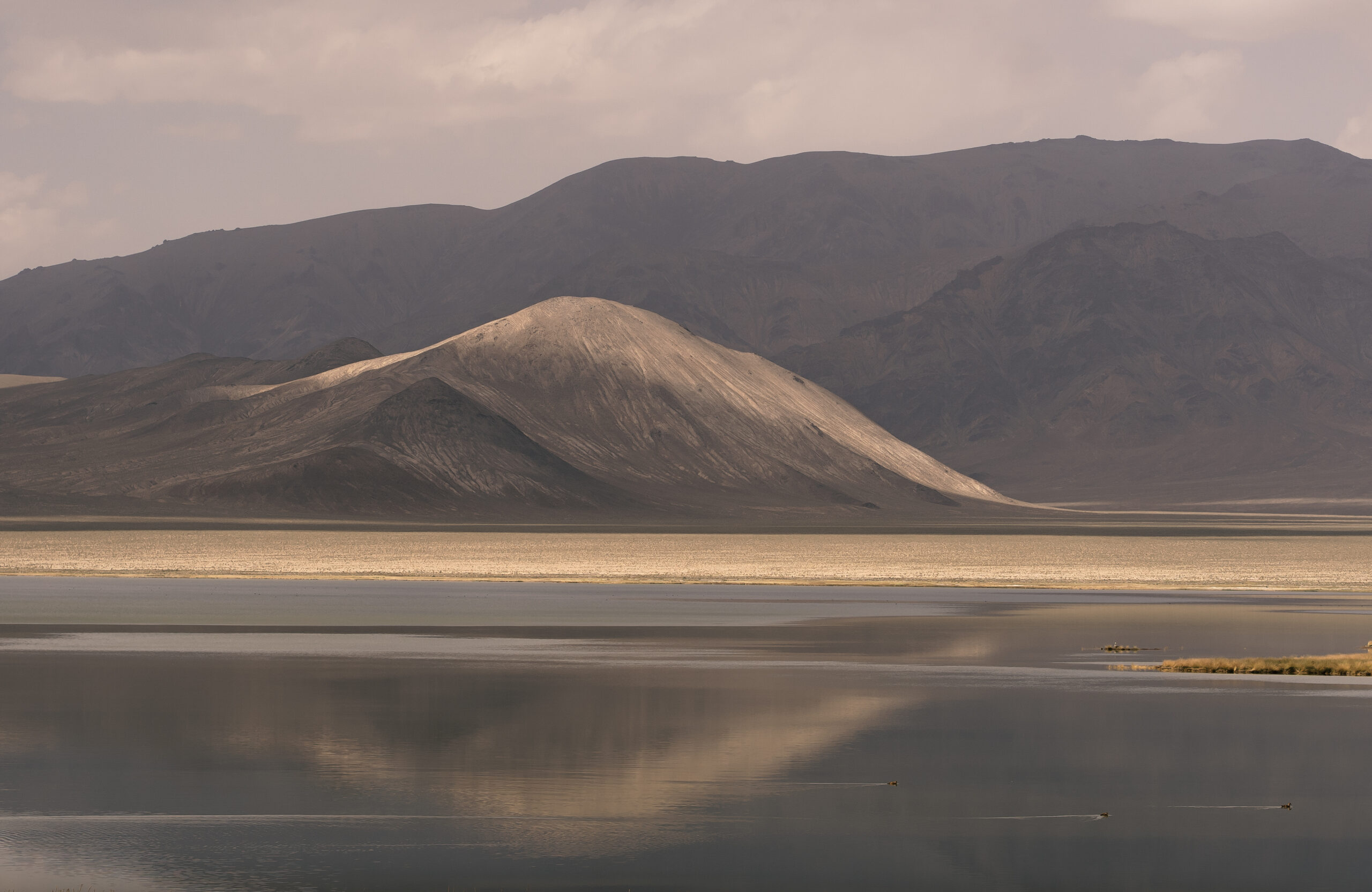
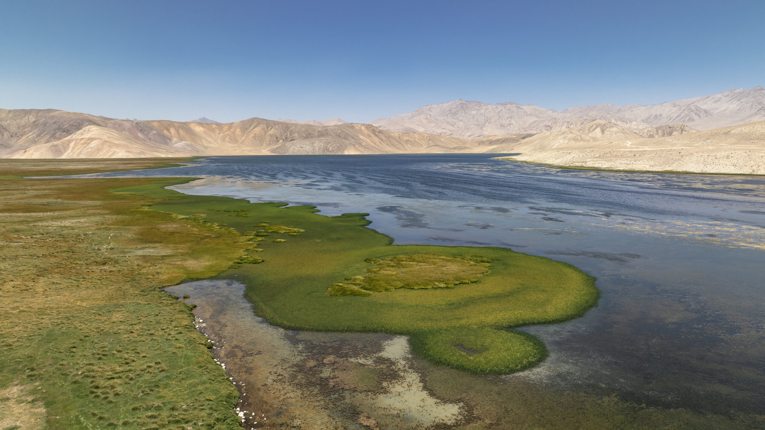
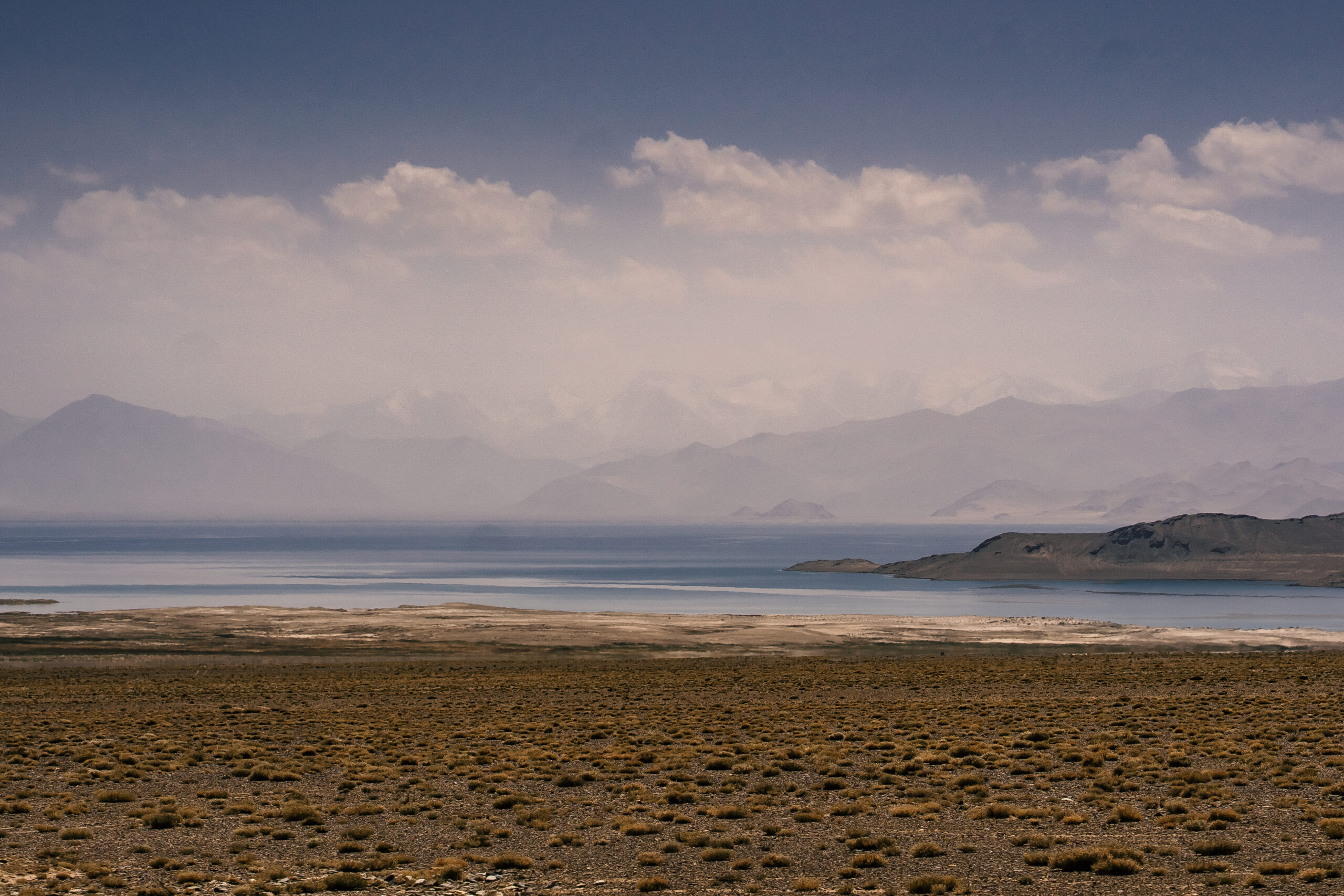
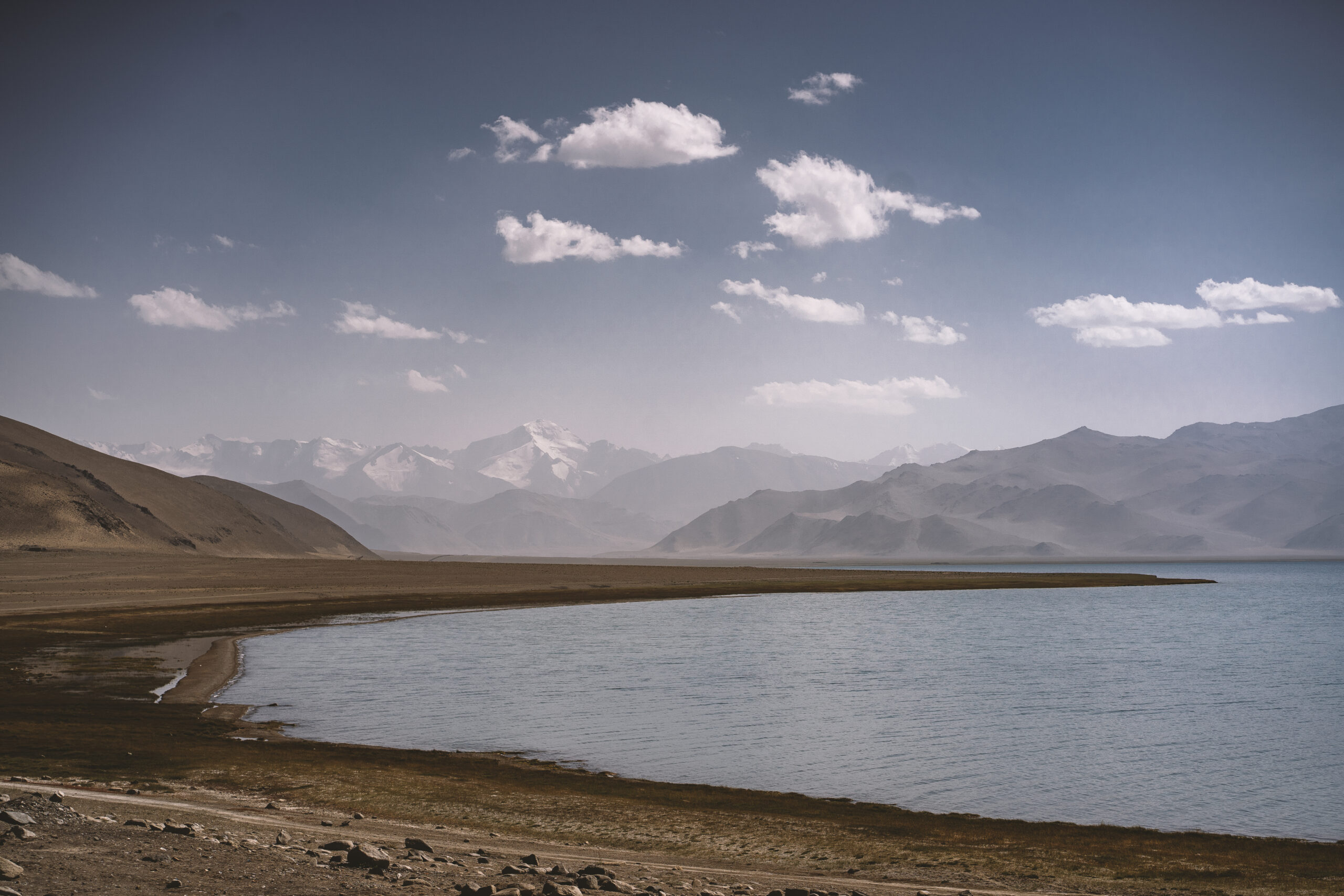
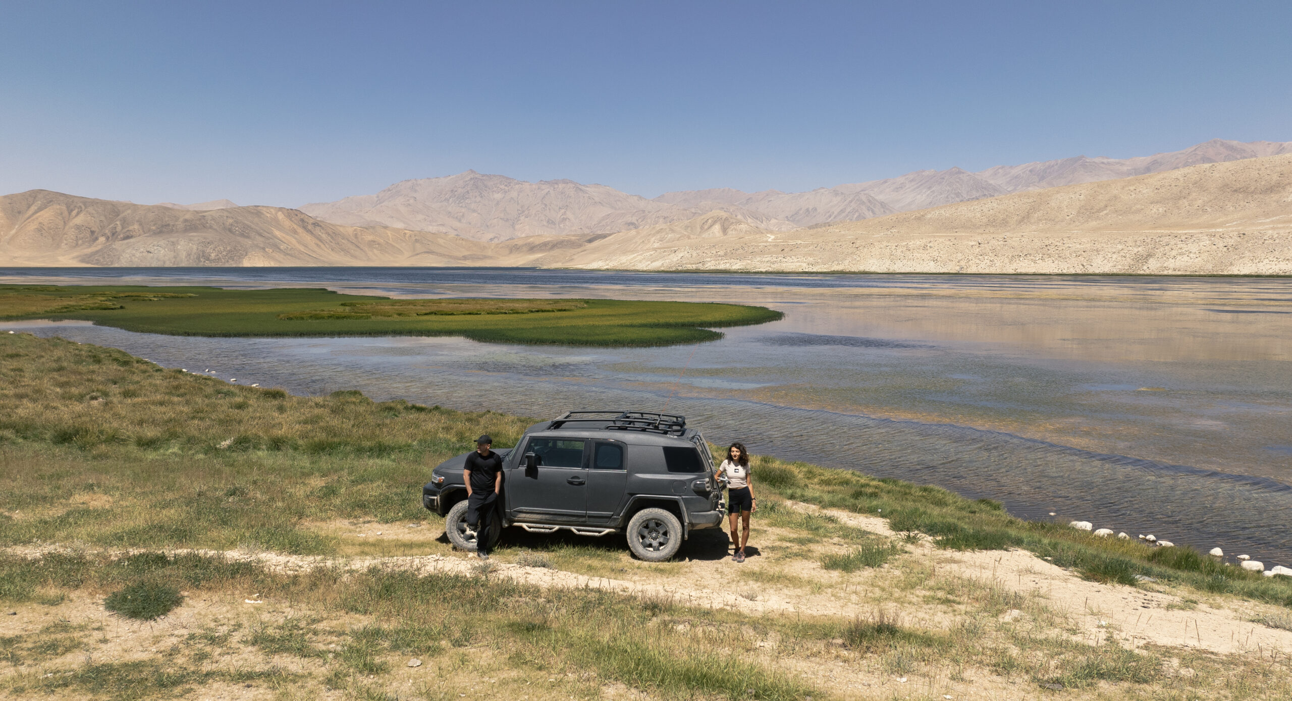
3. Karakul lake and Karakul village ( 3900 m ) – also the entire road from Kyzyl Art to Karakul is EPIC – be aware that there are LOTS of mosquitos near the lake, make sure to bring DEET spray
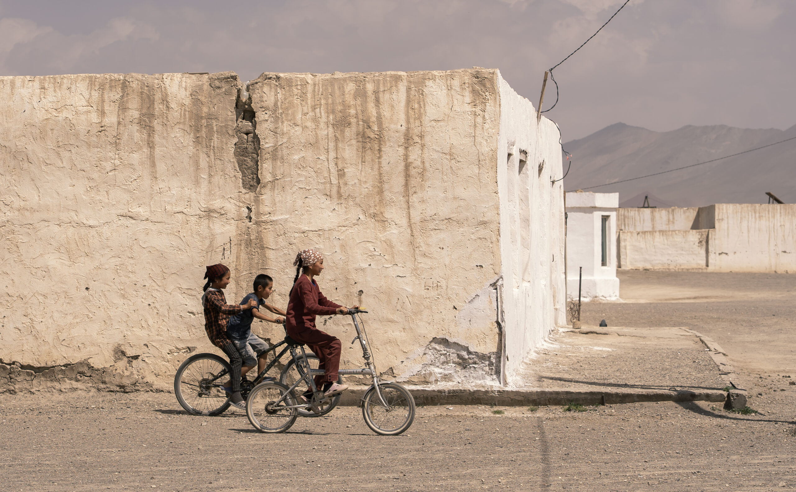
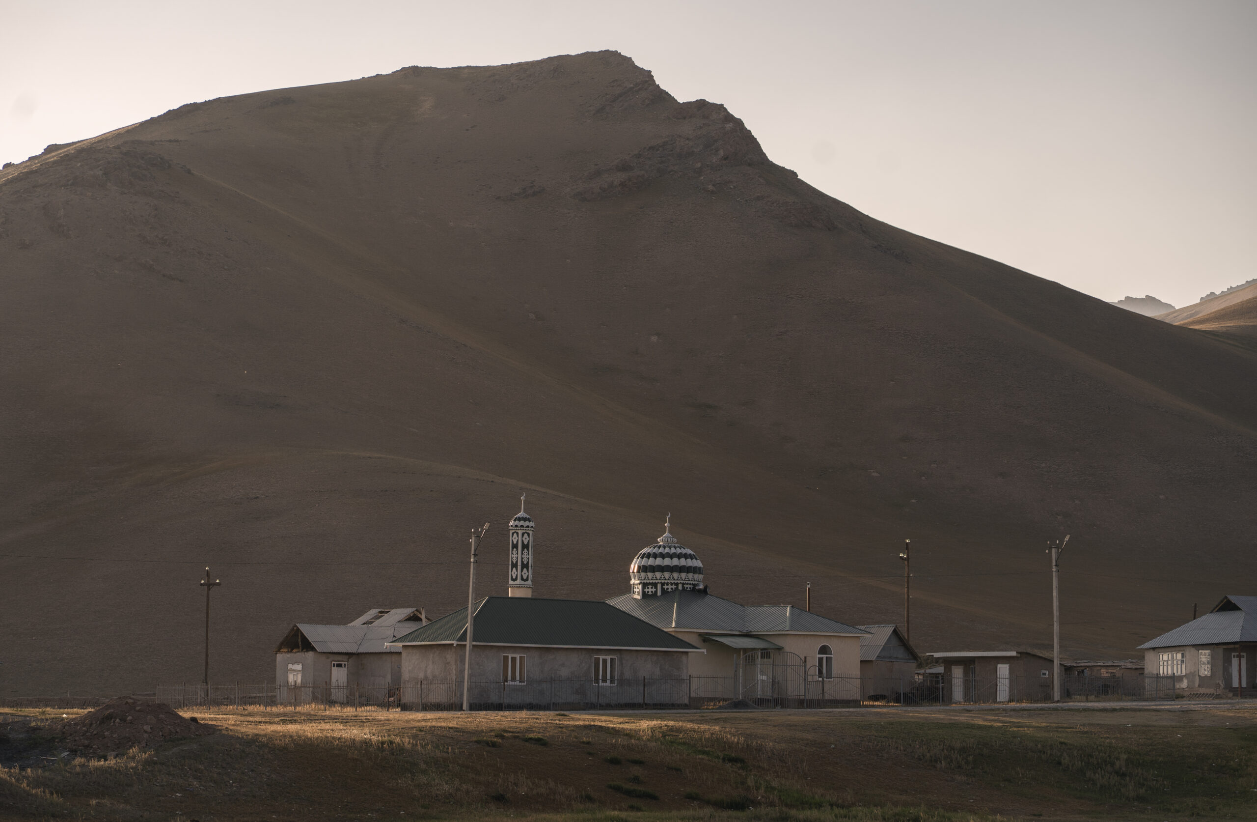
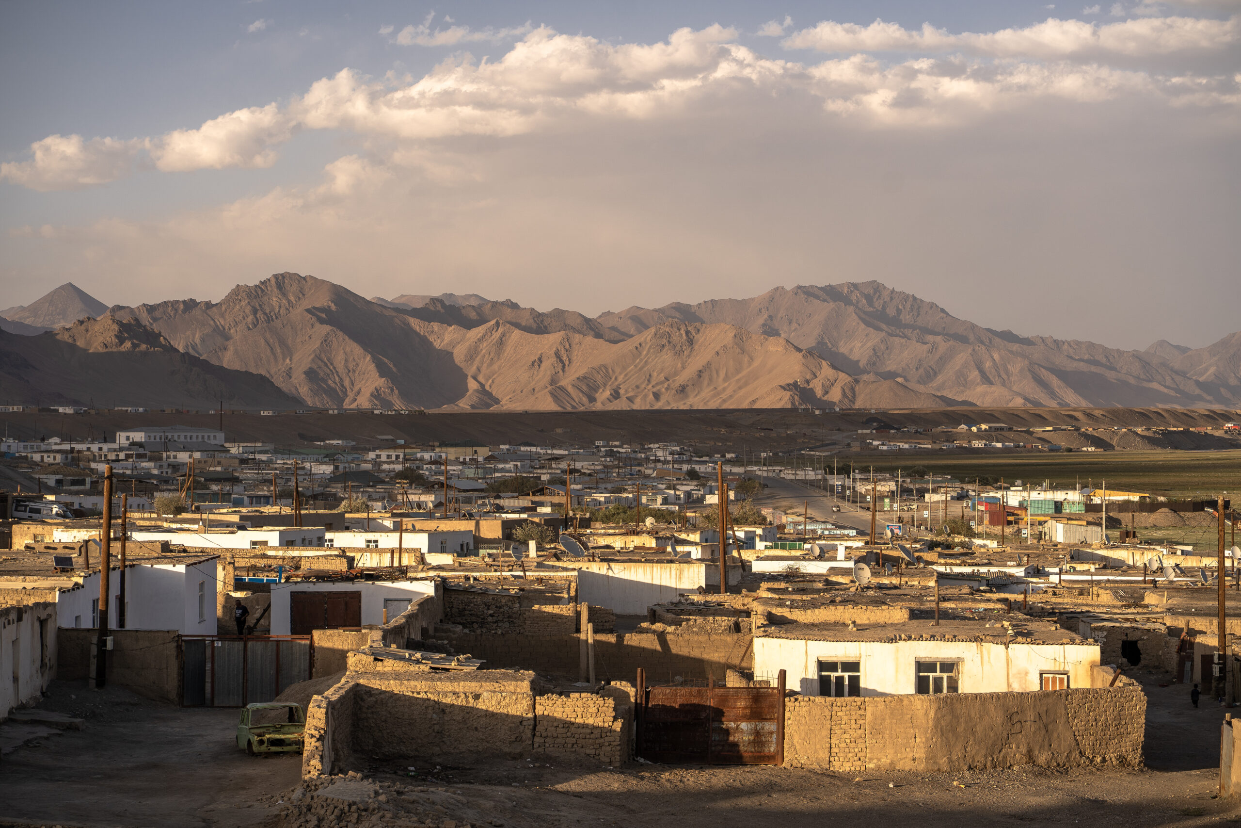
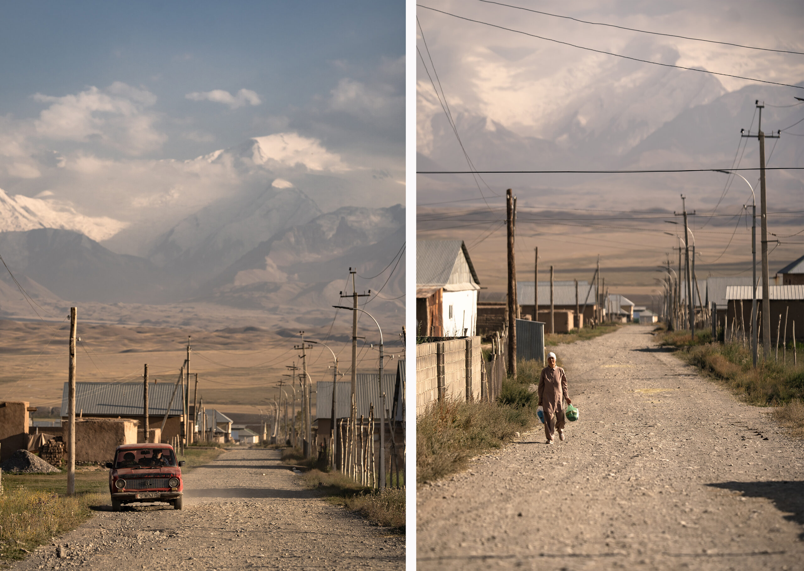
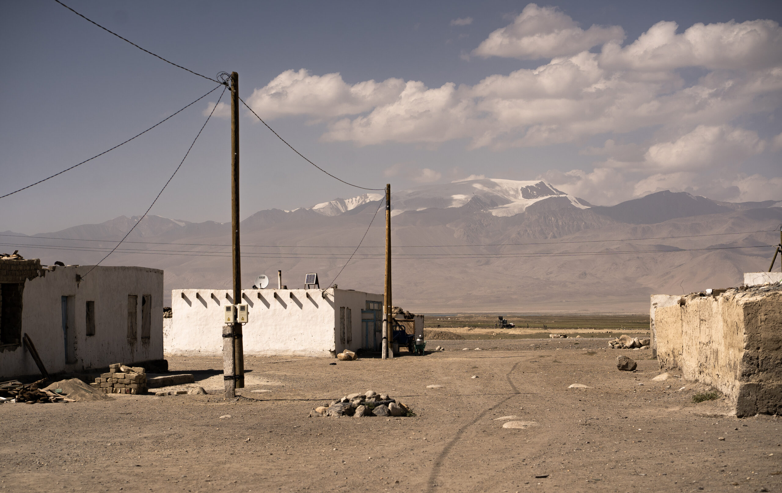
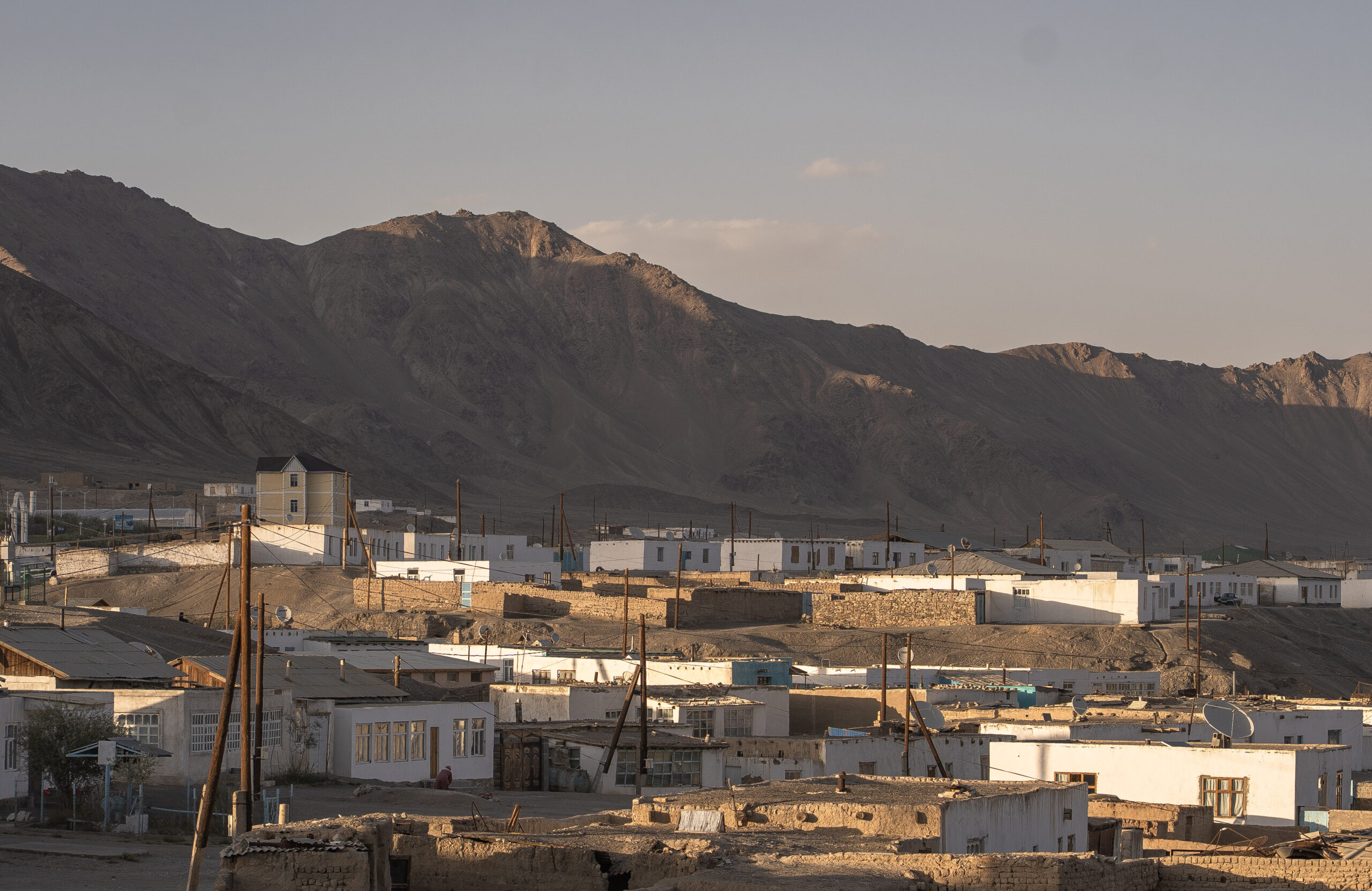
4. Murghob ( 3600 m ) – this is the first human settlement that you`ll find after entering Tajikistan; it the biggest town in the area, although it can barely be considered a town; however, you can find basic things, including sim cards; there is a festival that is supposed to be held in August – At Chabysh – here in Murghob, but it was not held this year ( 2025 ); it is worth checking the dates for the following years;
5. Shurkul and Rangkul lakes ( 3800 m ) – nice for a day trip as it is only 60 km drive from Murghob
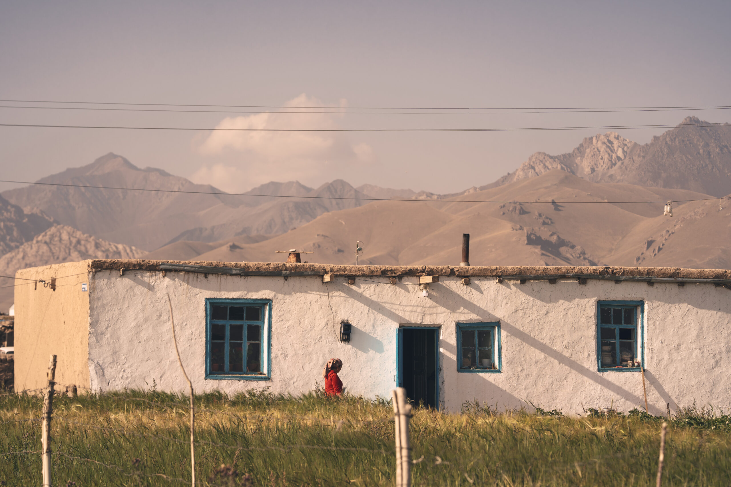
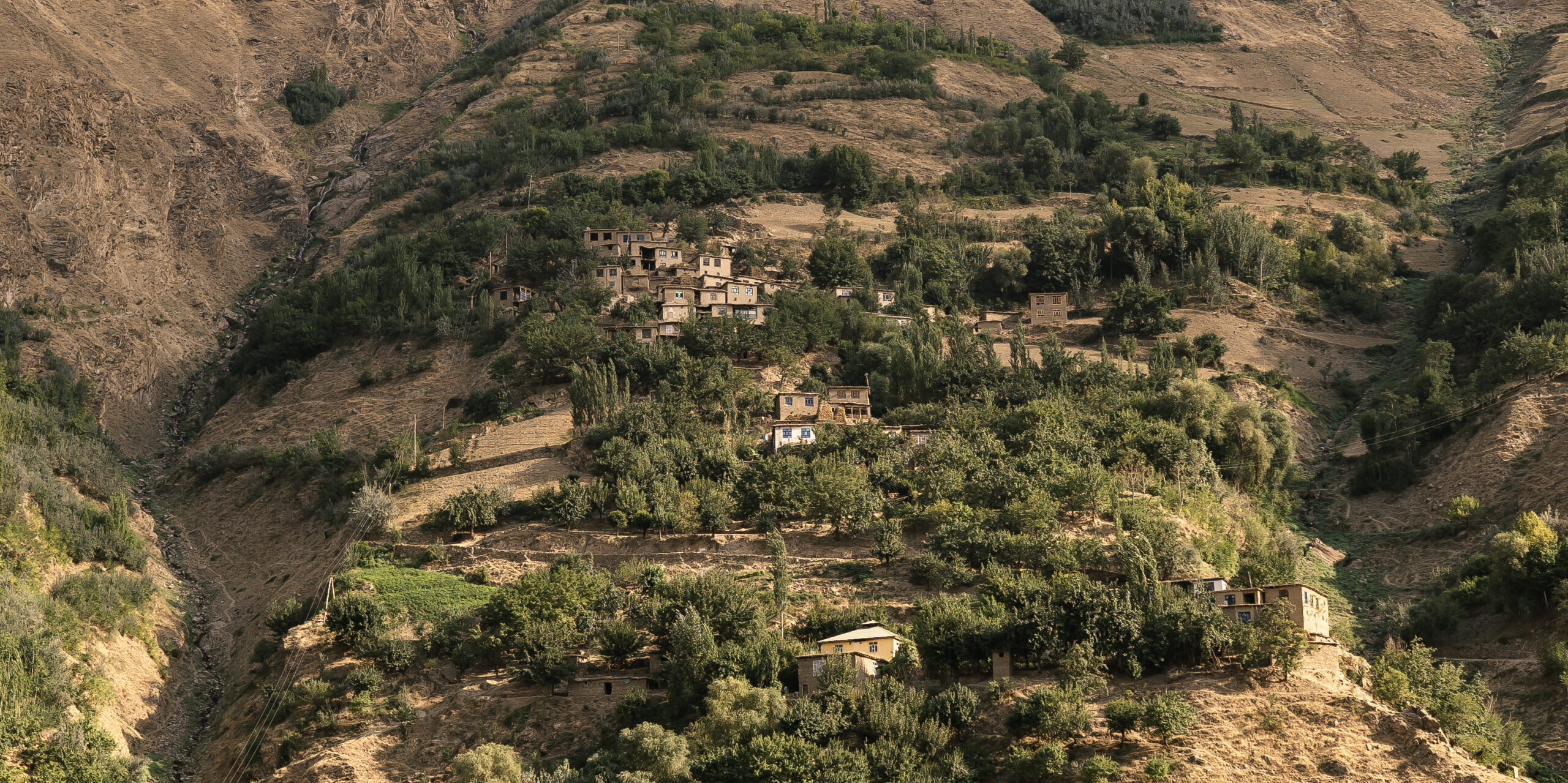
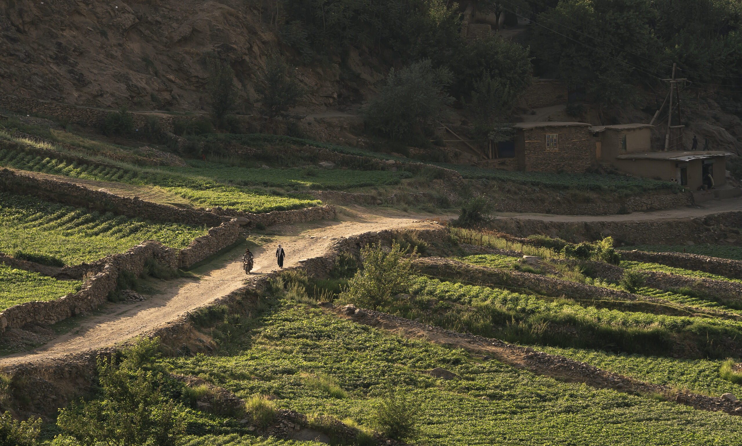
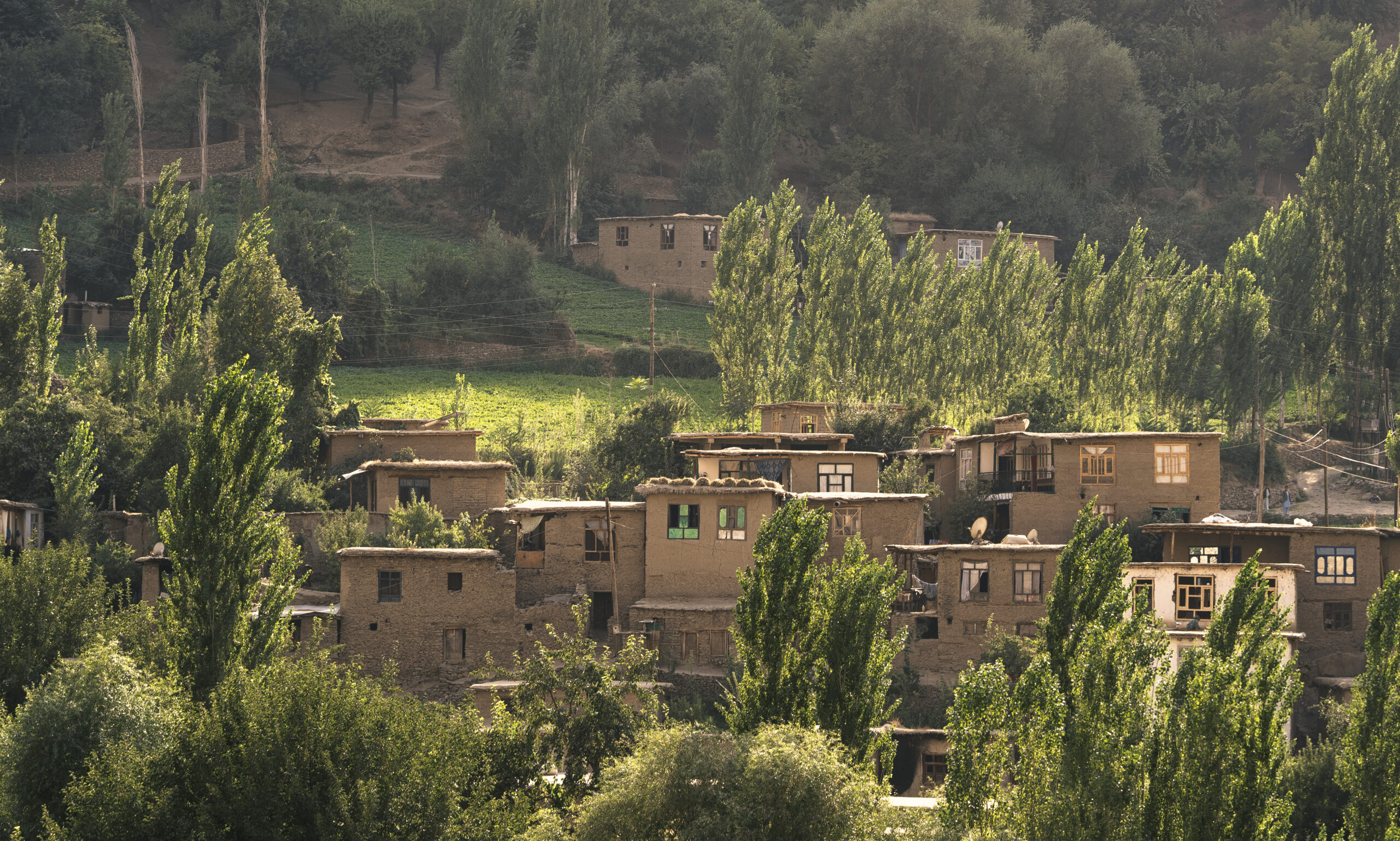
6. Rangkul village – this is, by far, the most beautiful village we`ve seen in Tajikistan. It is located in the middle of nowhere, far from everything, about 1 km from the China border; when you walk here, it feels like the time stood still;
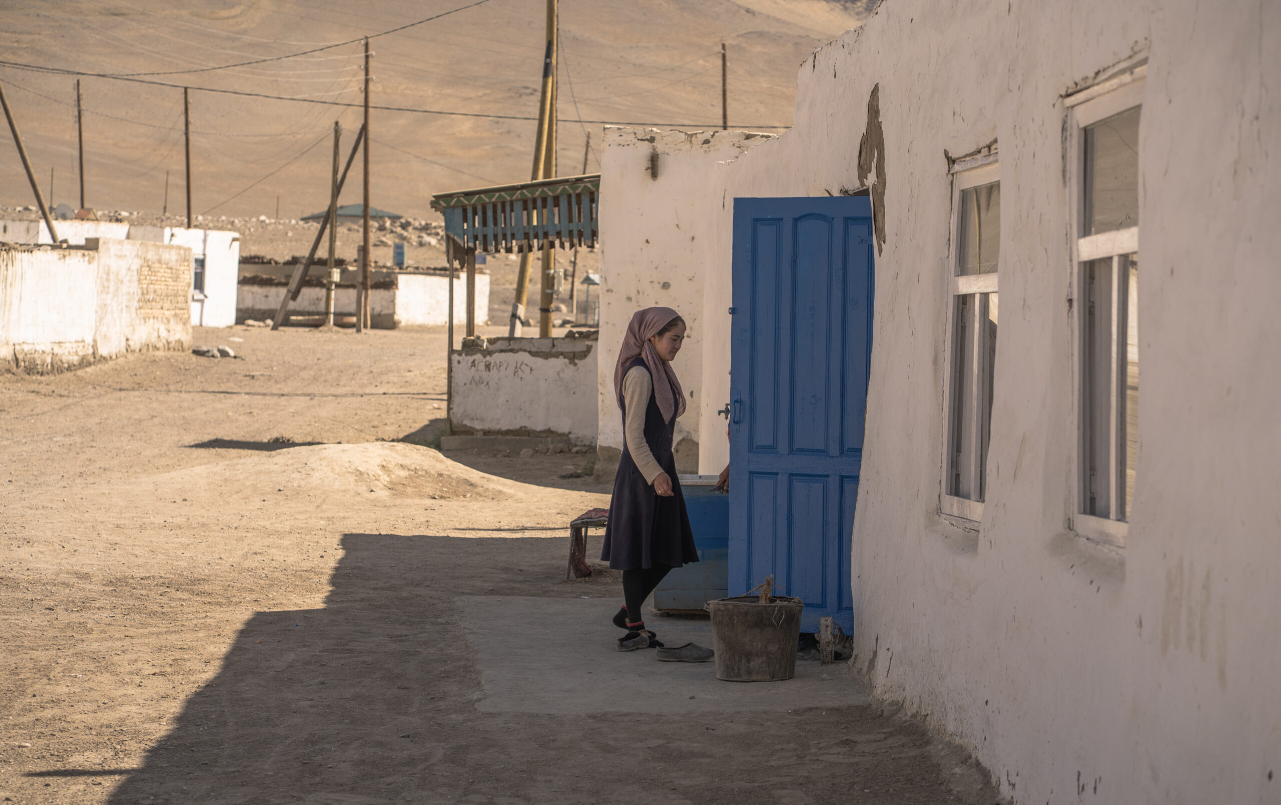
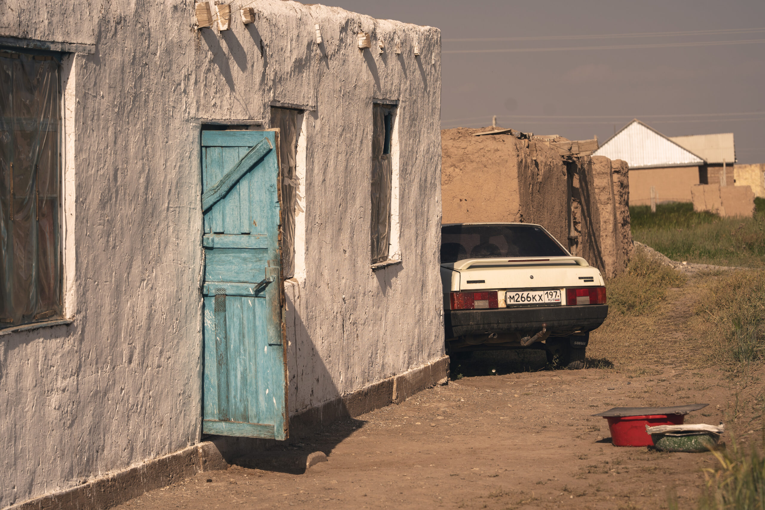
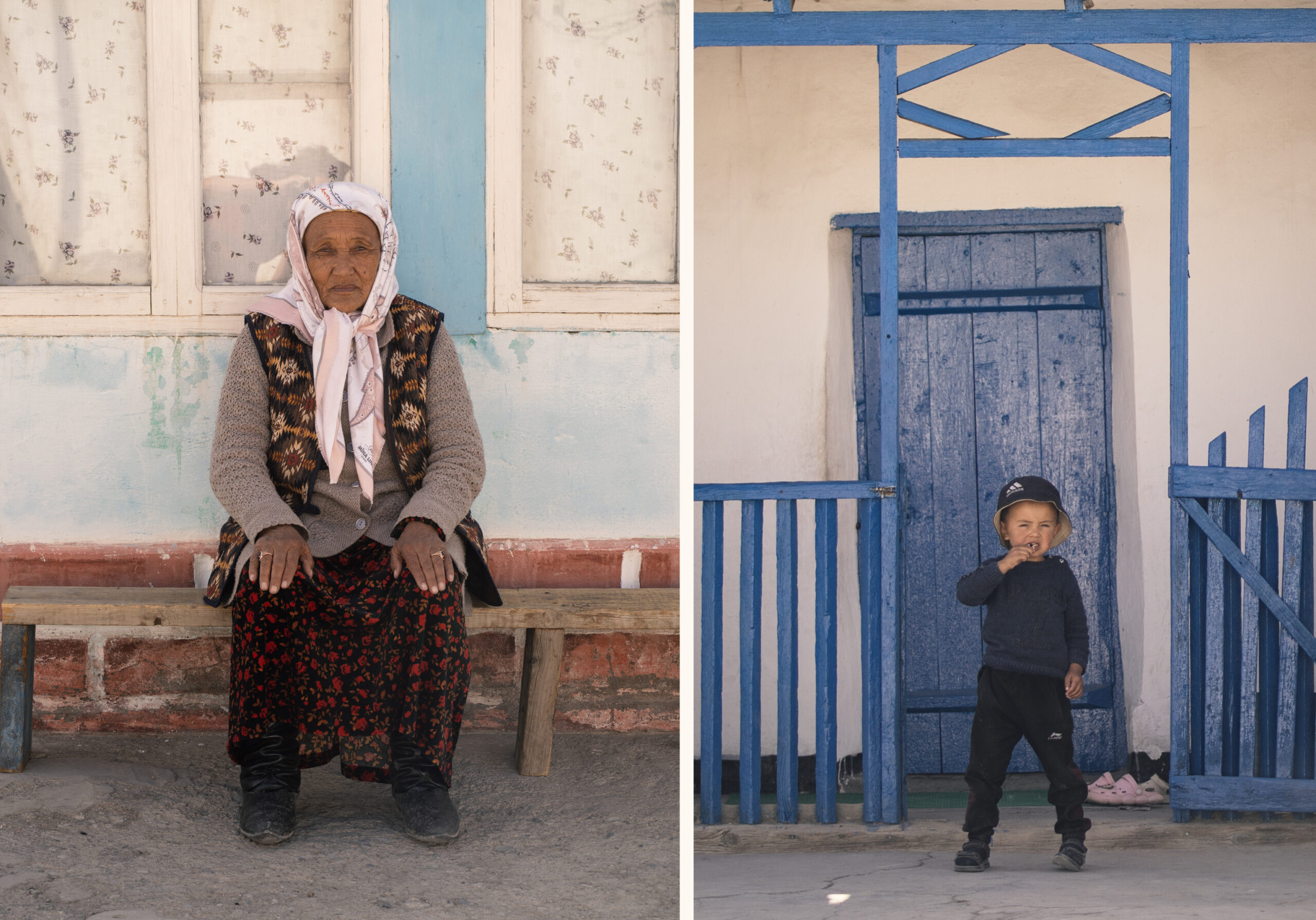
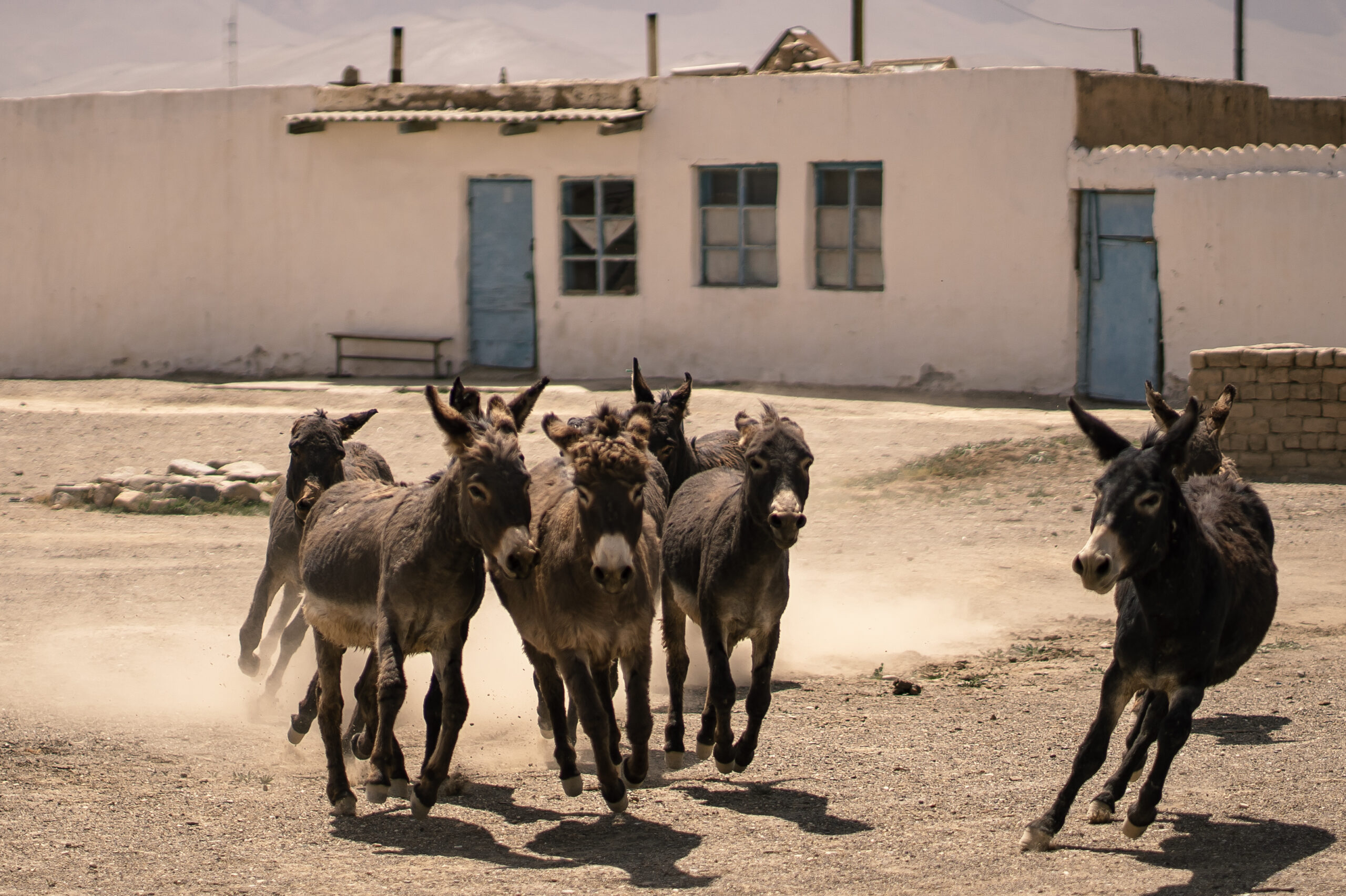
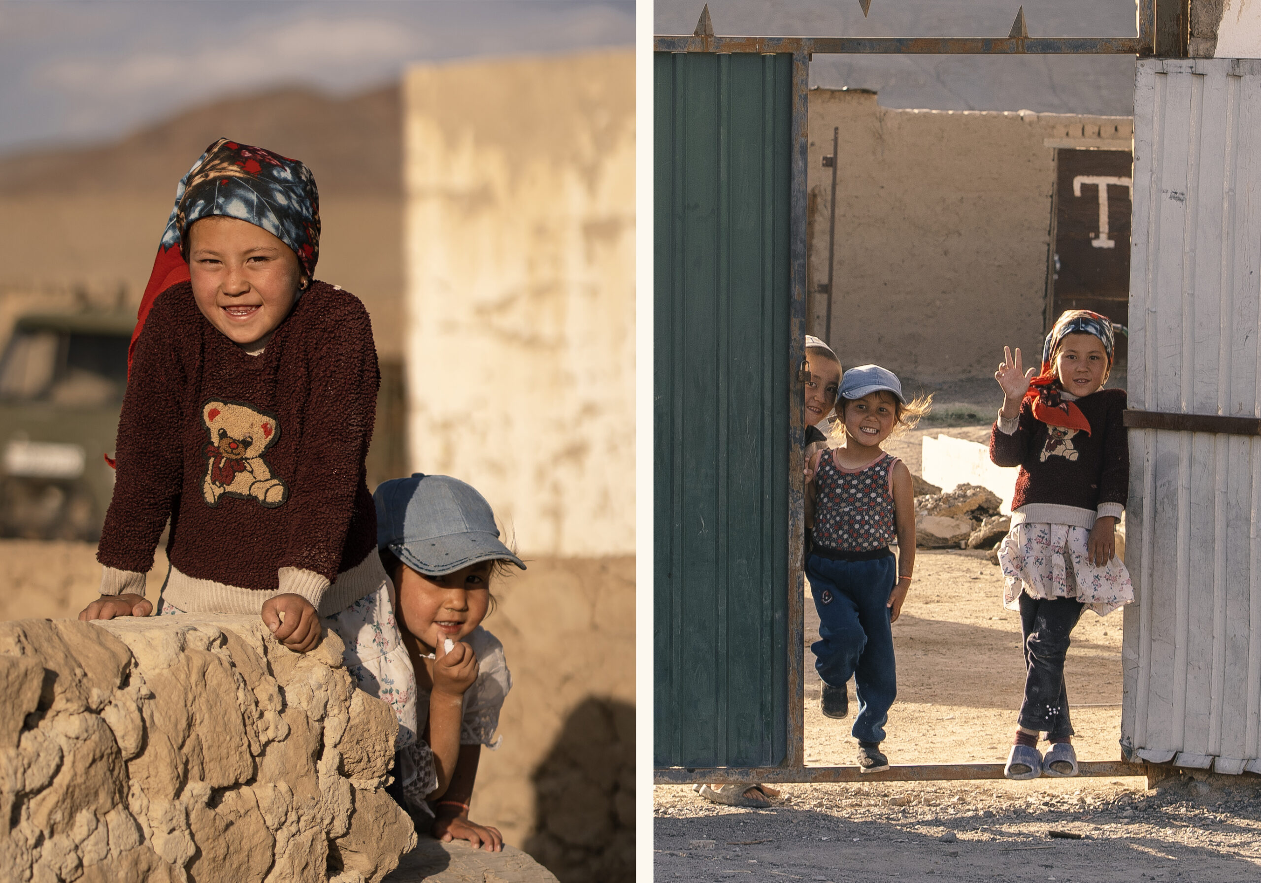
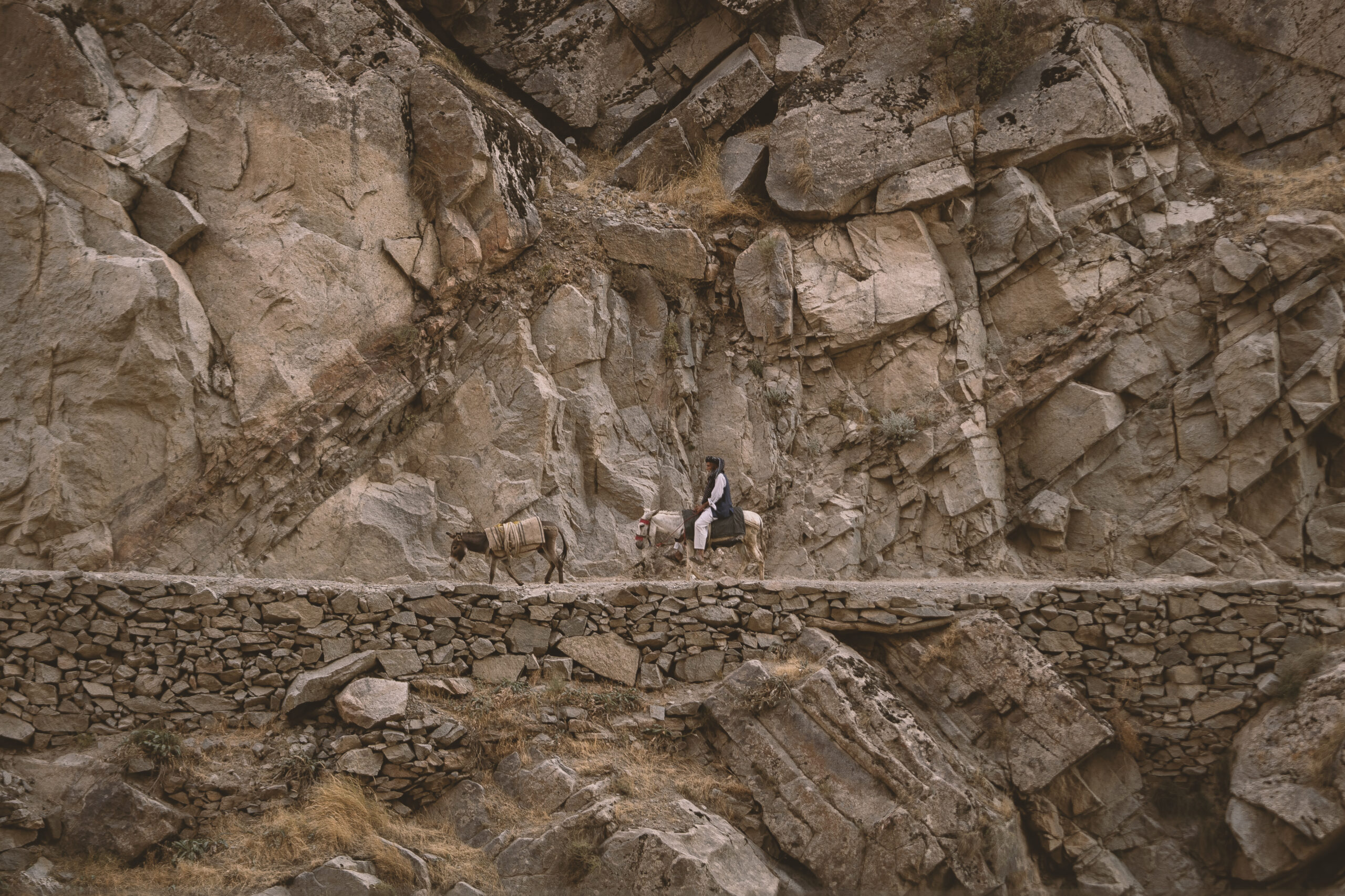
7. Karadomor – a small picturesque village that we discovered just outside of Murghab; this place doesn`t even appear of Google Maps, just on Maps.me; we managed to take some nice pictures of the people here;
8. Snow Leopard Sanctuary – about 10 km West of Murghab; however, they were not accepting visits at the time of our arrival; there is not much info about it online, but apparently it opened in 2023 and you can see small snow leopard cats and enjoy them. The purpose of the sanctuary is to protect this beautiful species and to educate visitors about its nature
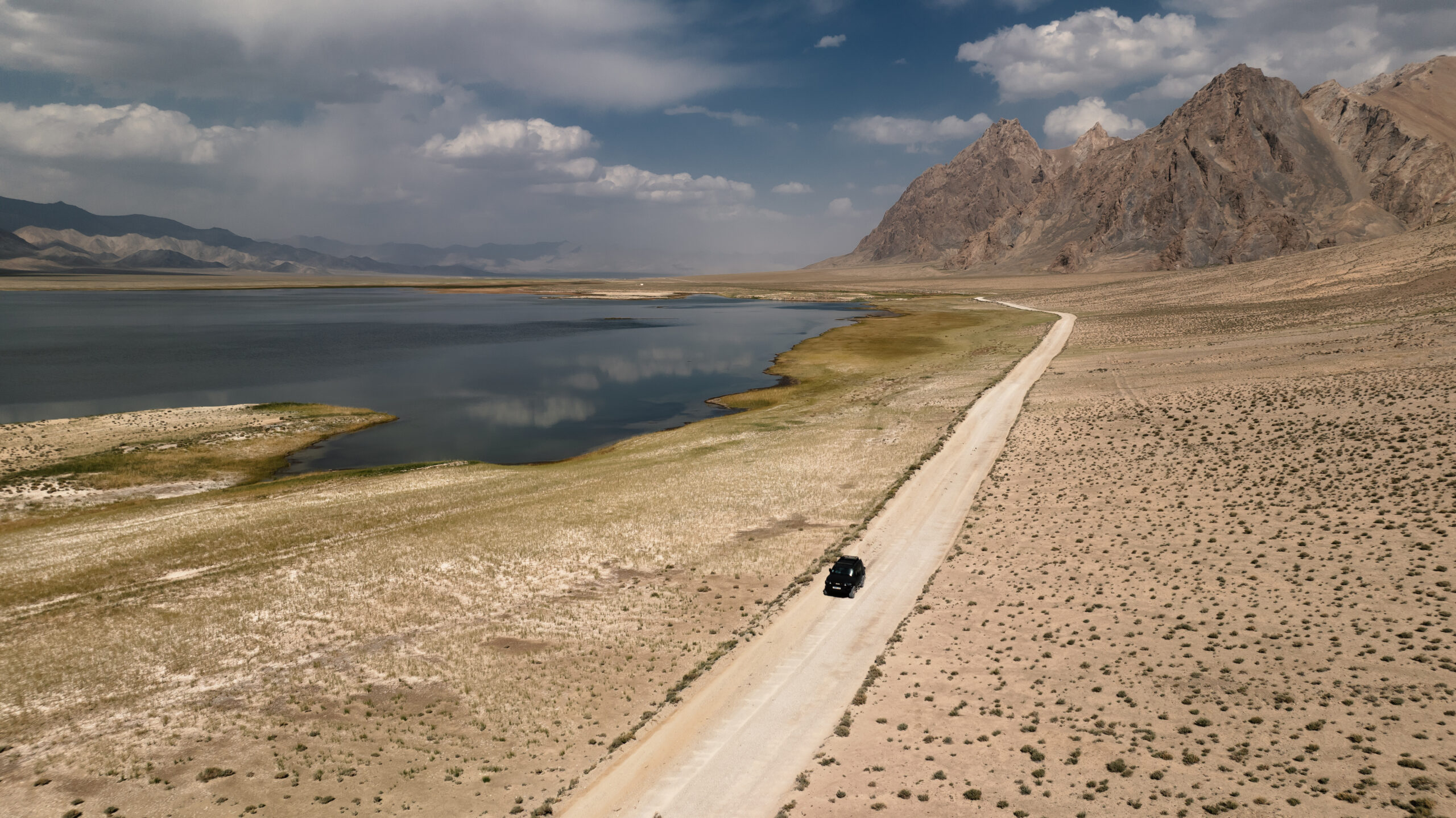
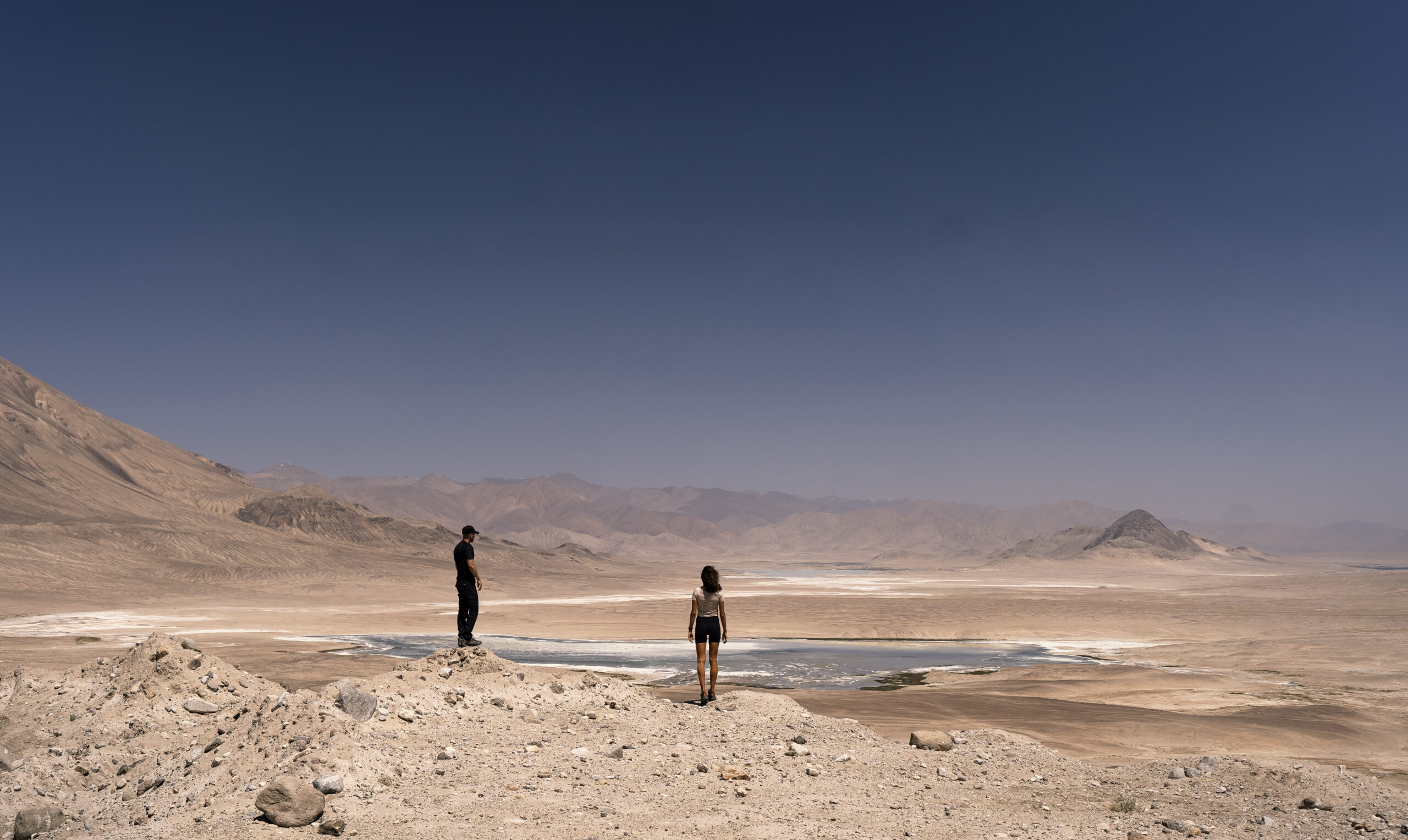
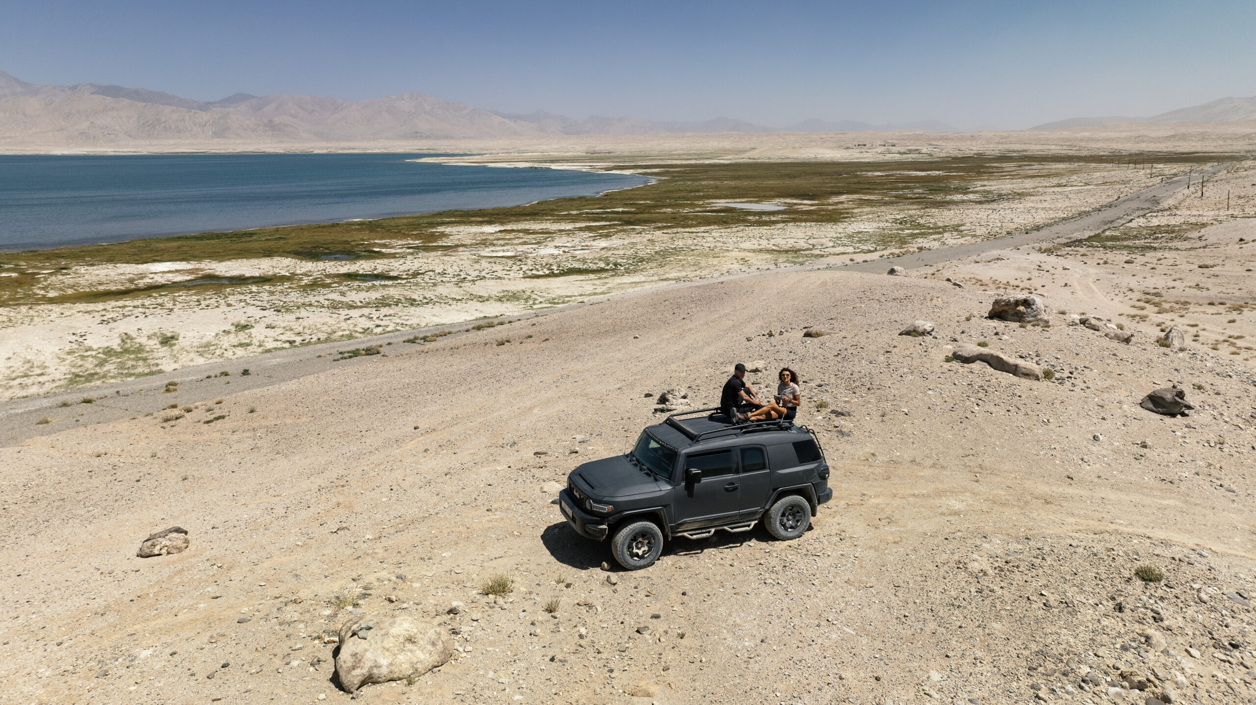
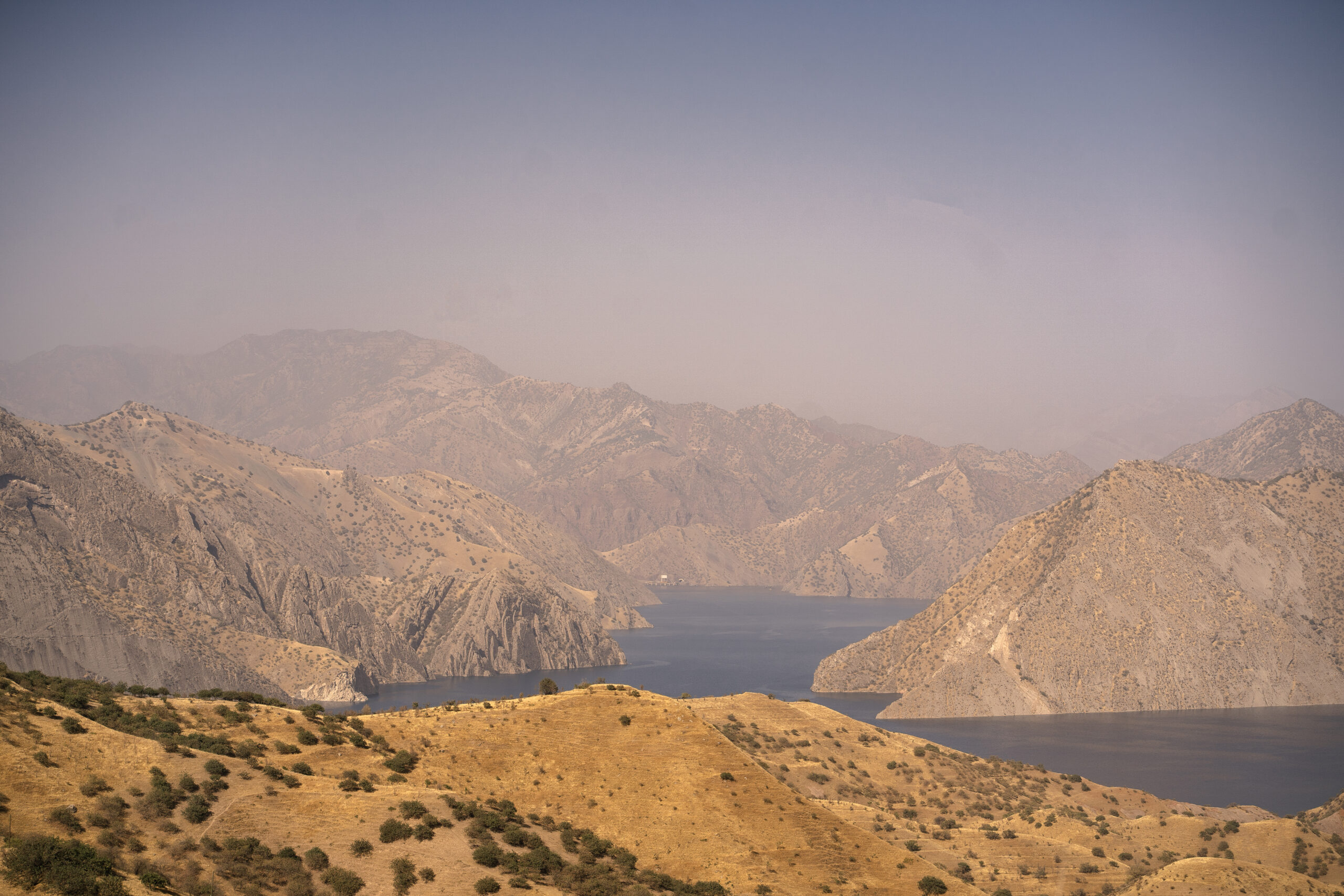
9. Bulunkul lake – just before Kargoush pass; if you`re heading south, you need to make a quick detour to see this lake ( about 16 km one way ) but it is totally worth it; it is a spectacular green oasis in the middle of this desert;
10. Churkul, Tuzkul, Sasiqkul lakes ( and the viewpoint ) – just before the junction between M 41 Pamir Highway and the road heading to Kargoush
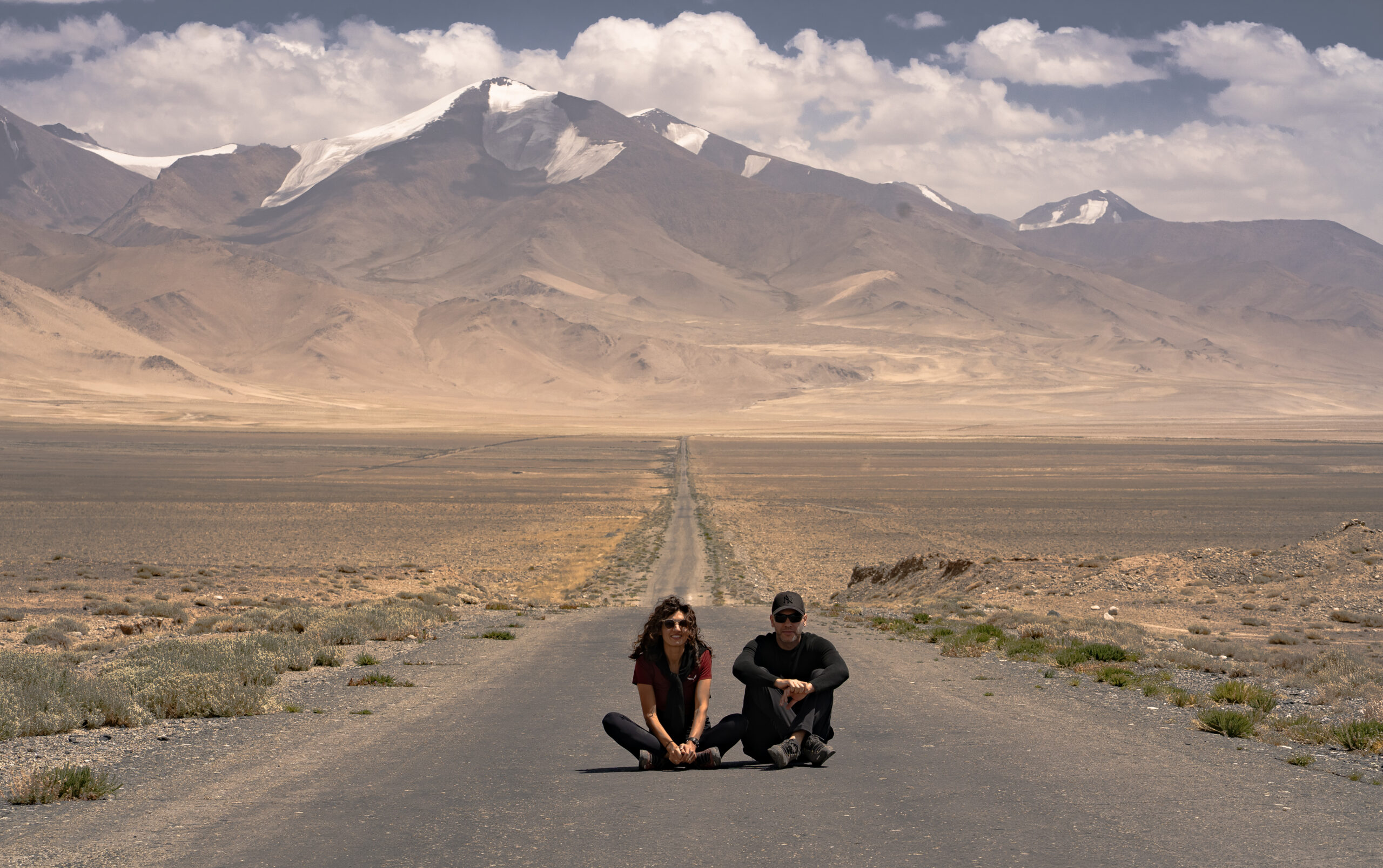
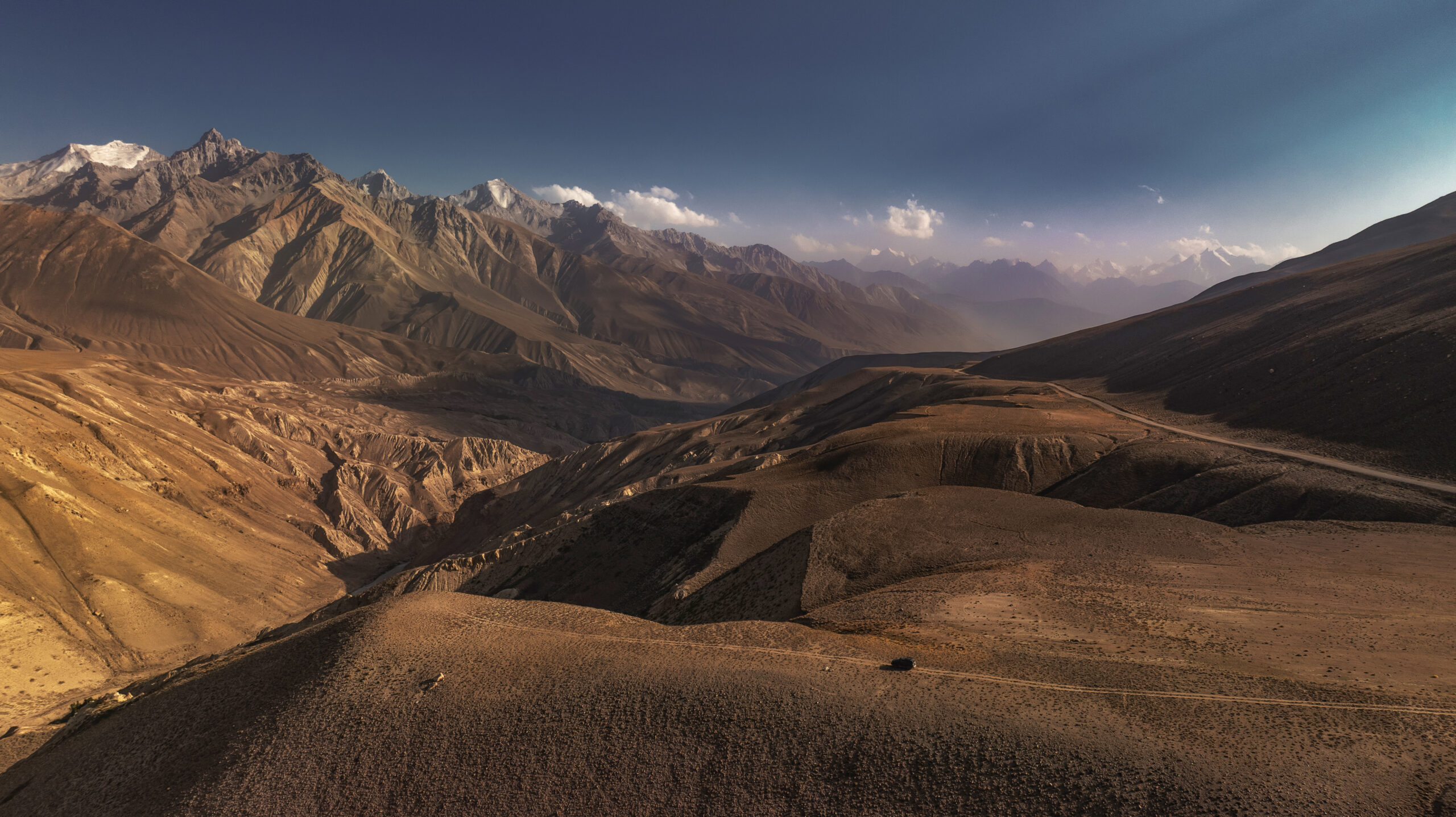
11. Wakhan Corridor and Wakhan Valley – it starts from the point the road starts to go along the Pamir river until it meets Wakhan river. The confluence of the Wakhan and Pamir Rivers marks the beginning of the Panj River. These rivers are going to be the border between Tajikistan and Afghanistan for the next few hundreds kilometers; the valley is super spectacular, with many snow peaks and the road becomes very narrow at times;
What to bring with you
- Layers – being a high altitude/ mountain region, the weather can be quite cold, even in summer; but it can also be unusually warm; be prepared for everything
- Mosquito spray – preferably DEET – be aware that there are lots of mosquitos next to all the salt lakes in the region and they are EXTREMELY AGRRESSIVE
- Sleeping bags – although most of the accommodations have everything you need, you never know when you end up sleeping in your car ( like we did )
- Food and water – make sure you buy enough groceries before you head out; include high calorie/ non perishable food such as nuts and protein bars; bring fruits and vegetables as there won`t be any almost until Khorog ( the breakfast here is only fried eggs and bread and we always brought our own extra tomatoes, cucumbers etc )
- Medicines ( including altitude sickness pills )
Altitude sickness
Considering the high elevation, there will always be a chance to get altitude sickness, depending on each person. It usually starts around 3500 m. Make sure you have Acetazolamida with you. In Europe sold under Diamox name ( but you need prescription for that ). You can buy it in Osh without prescription. Not sure in Tajikistan but I assume so.
If you know yourself prone to altitude sickness, start taking it before the symptoms kick in. Usually a tablet a day is enough for the first 2 -3 days. Expect some tingling in hands and feet ( which go away after a few hours ) but nothing more.
Driving in Tajikistan
Except for remote areas ( Kalaikhum to Kyzyk Art border ) where there is nobody, driving can be a bit chaotic. Make sure you pay attention to the reckless drivers. Be aware that there is a lot of police stopping you for no reason ( probably looking for bribe ) but usually they don`t speak English and they let you go away.
Sim card
For Kyrgyzstan you can find plenty of electronic sim cards. We used the one from Revolut and it was fairly good.
We couldn`t find any electronic sim card for Tajikistan. The only one that we managed to get was not working. There are 2 network providers in the country: Tcell and Megafon. We read that Tcell has better coverage. However, if you are coming from Kyrgyzstan, like we did, the first town where you can purchase a sim card is Murghab. Unfortunately, we only found Megafon there and the coverage was not good at all. Even in Murghab it was not working properly. It started to get coverage after Kulyob, towards Dushanbe.
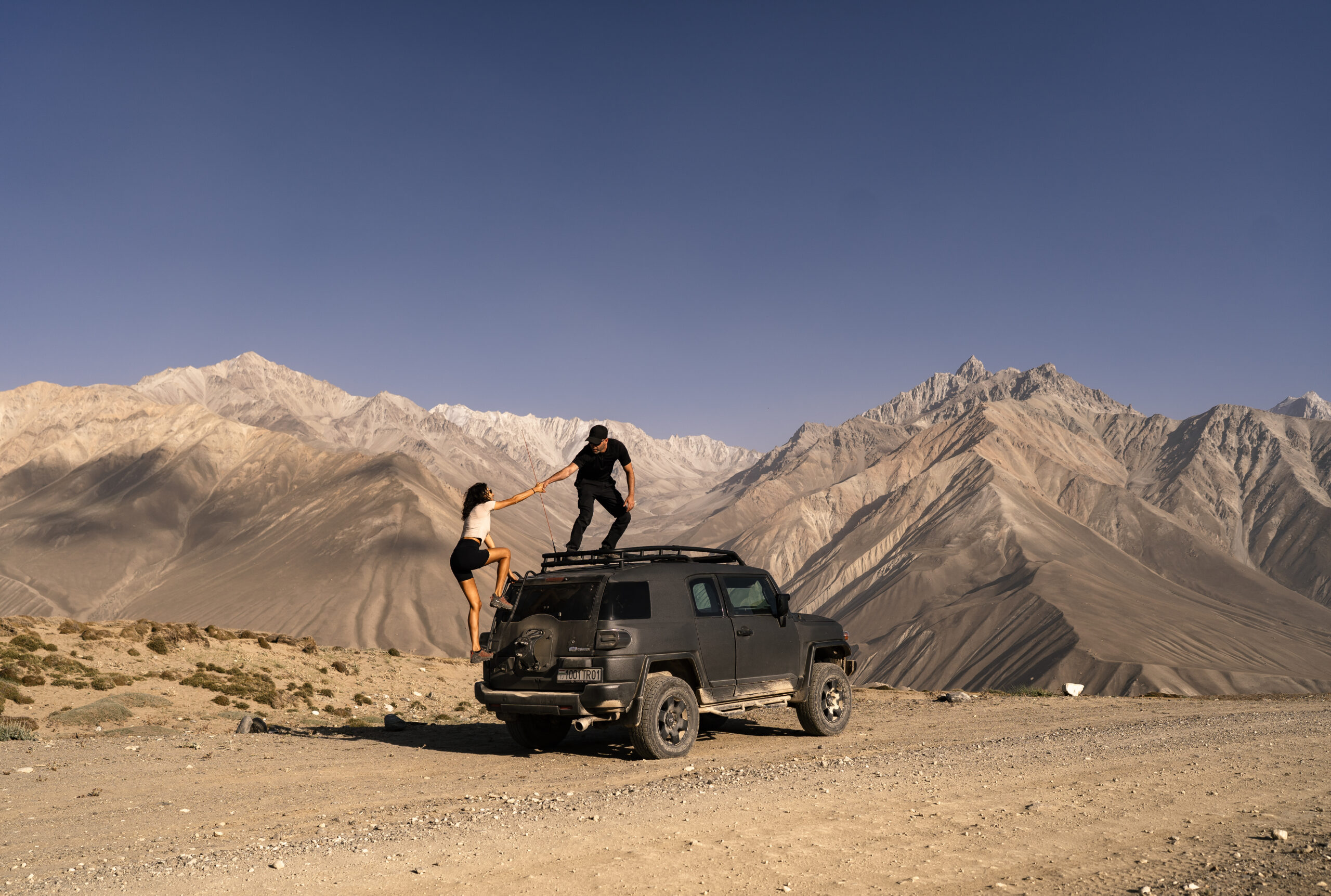
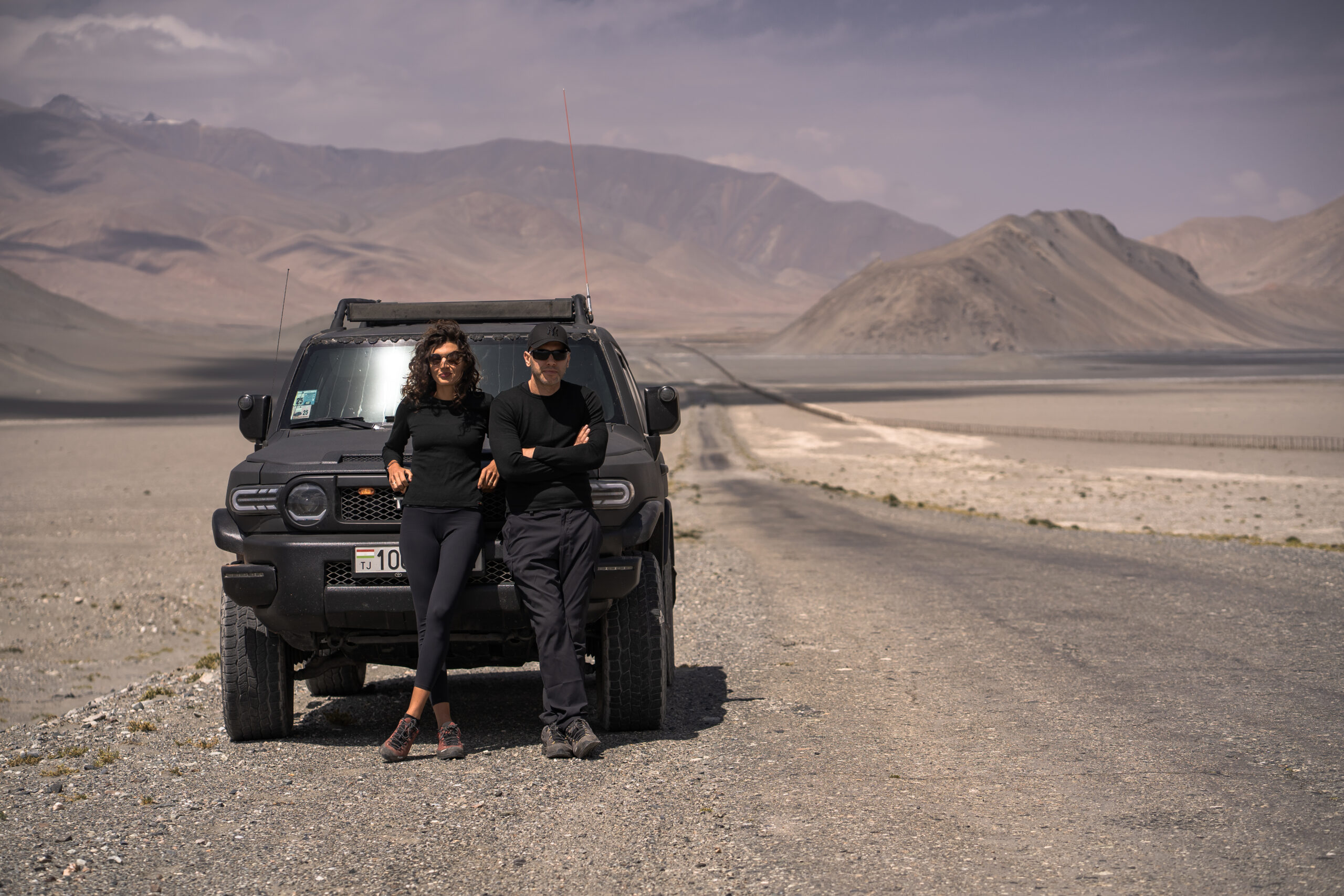
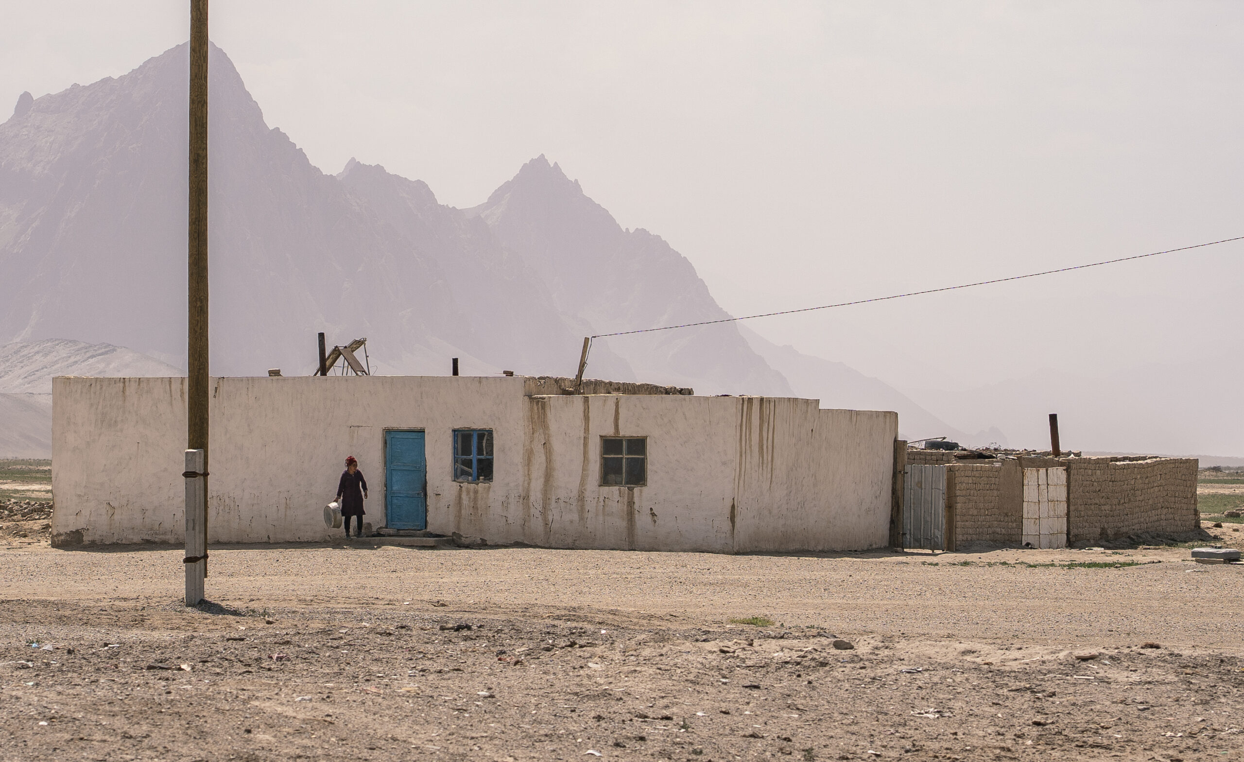
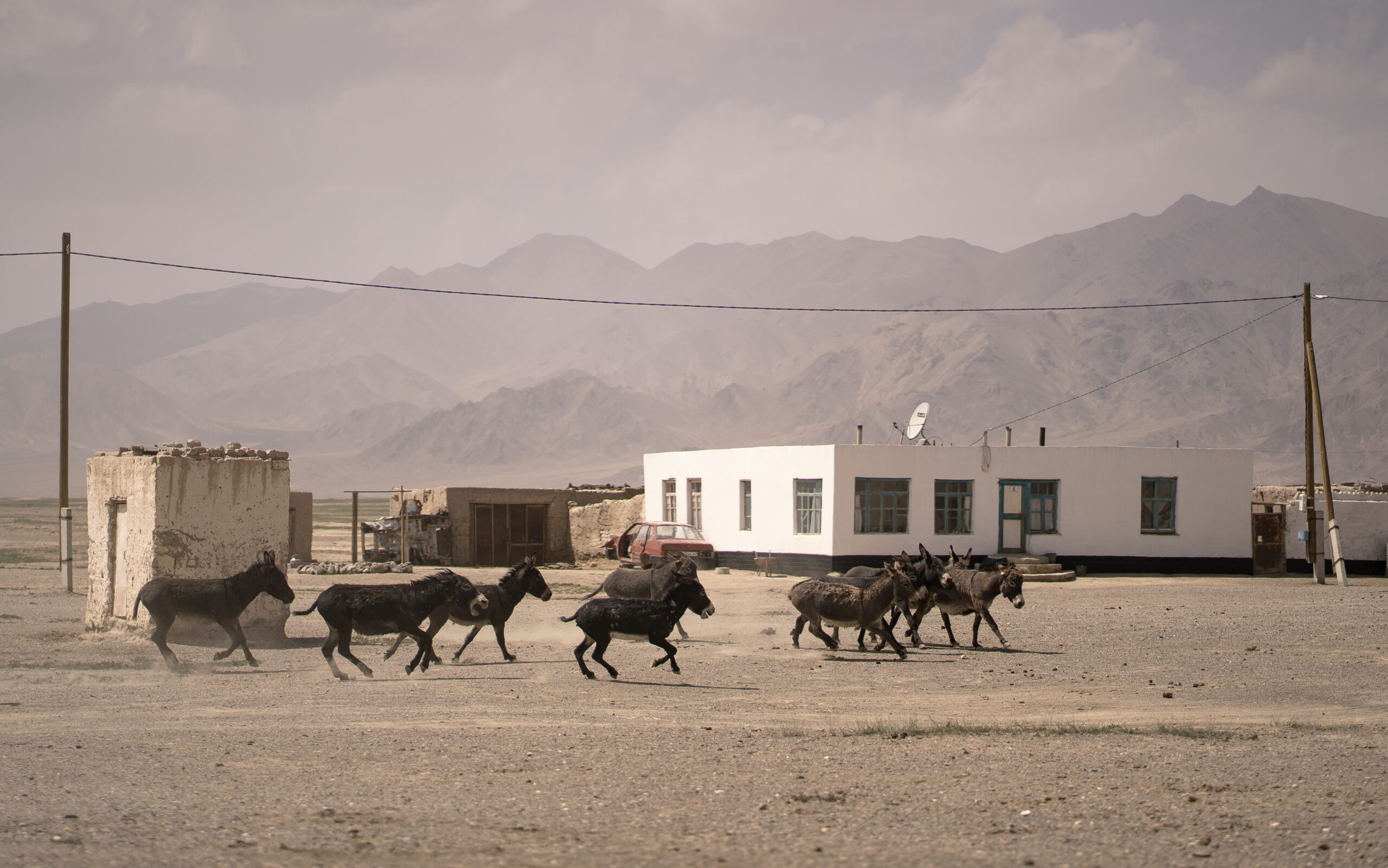
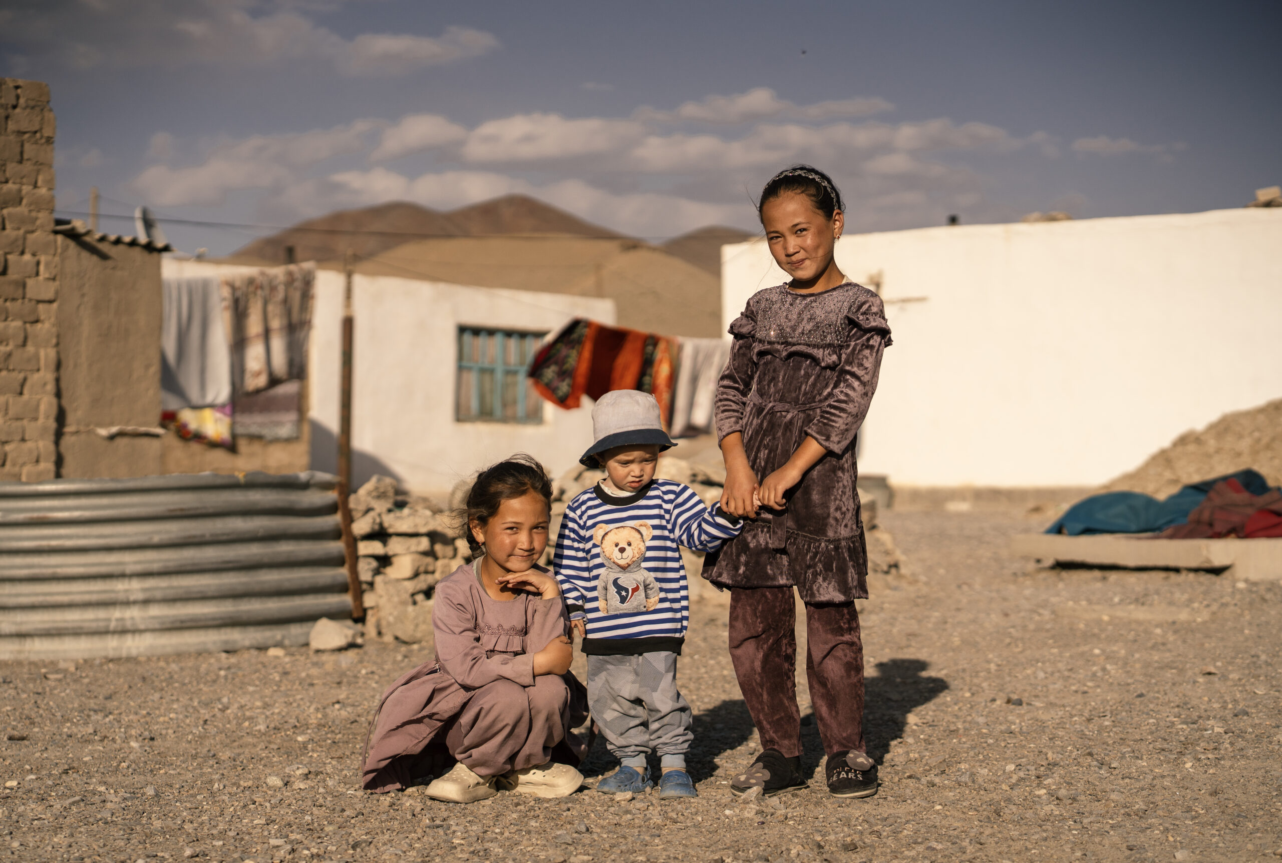
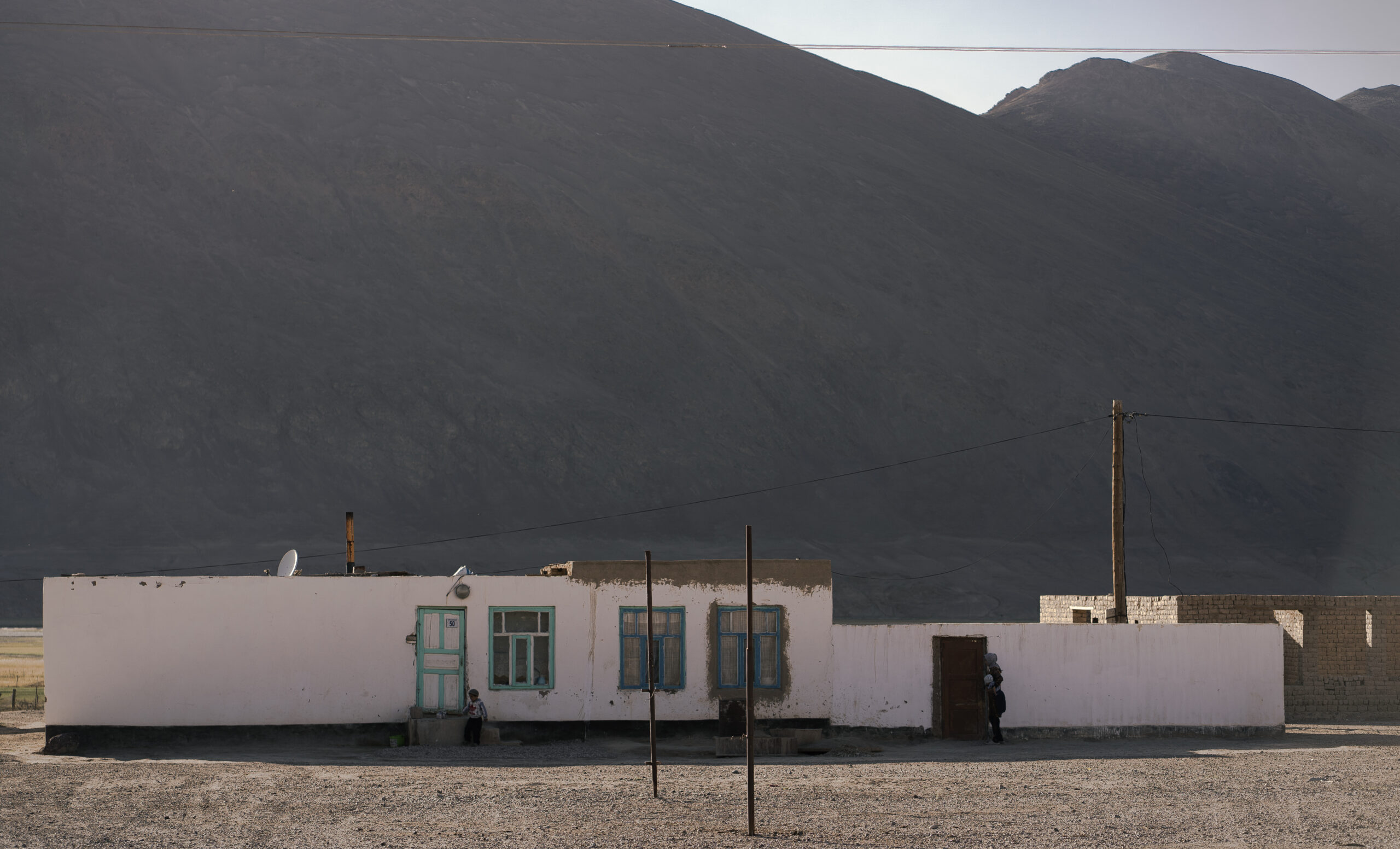
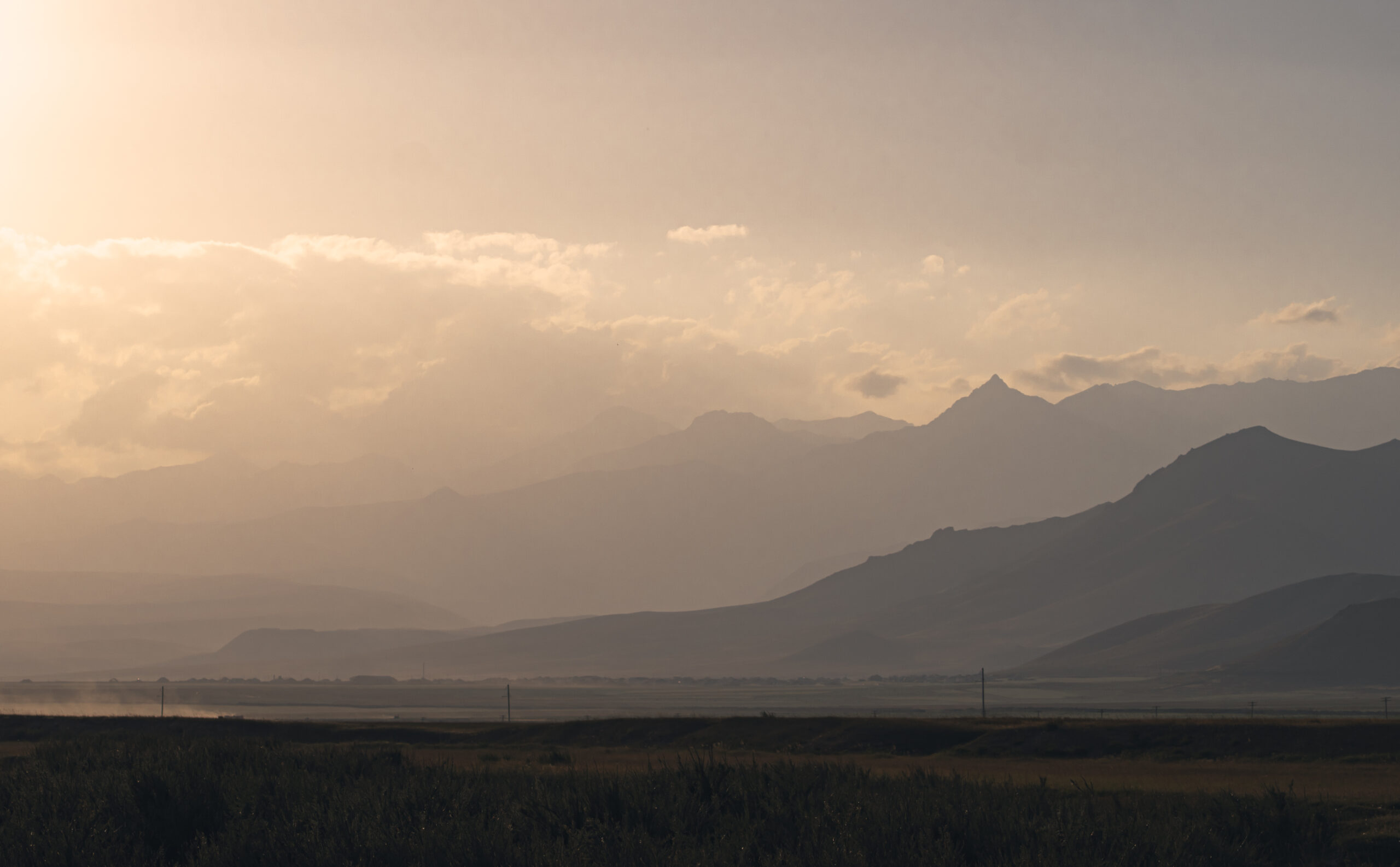
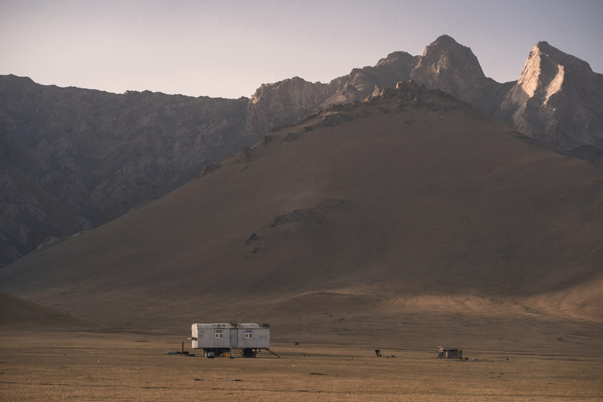
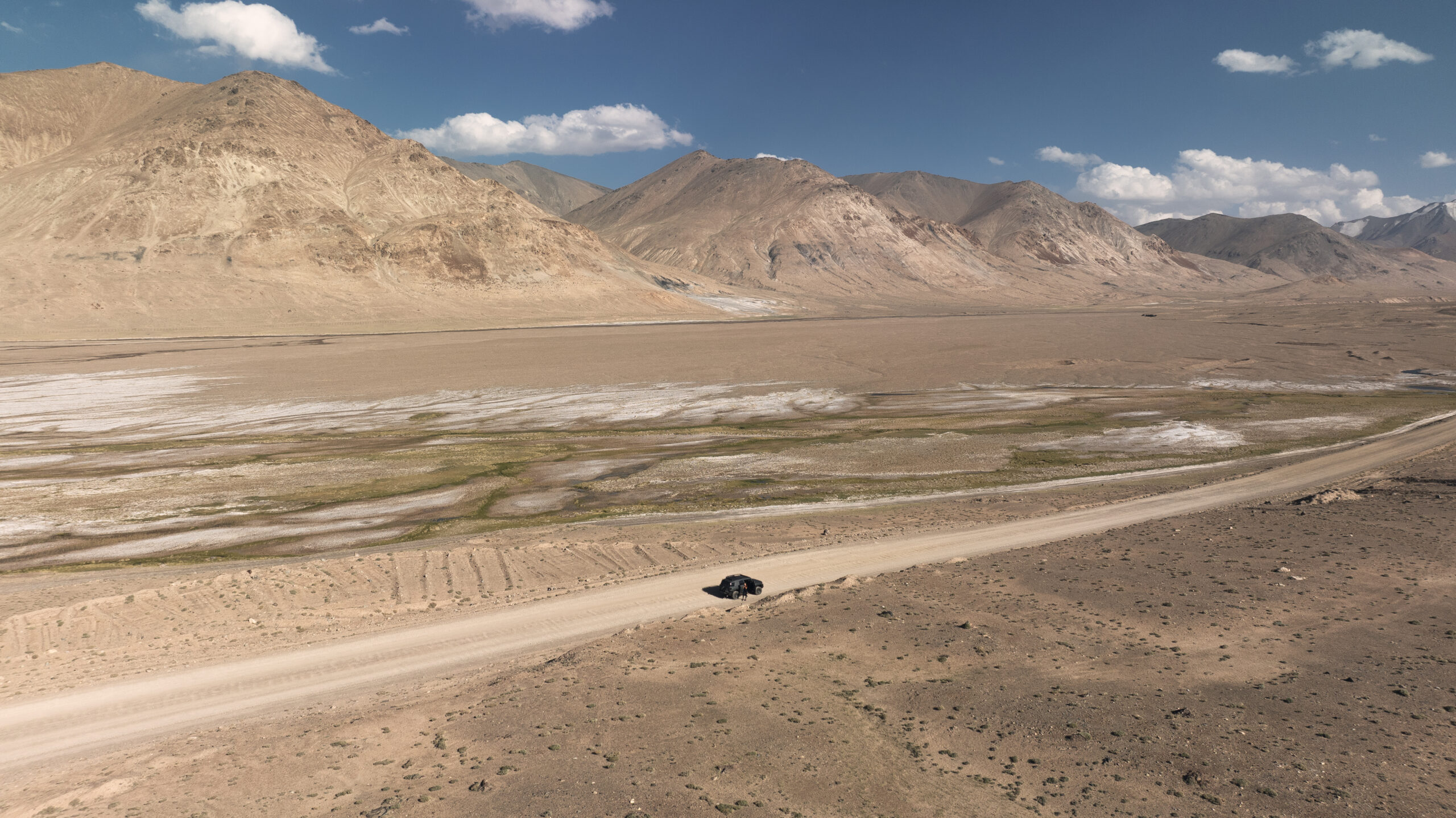
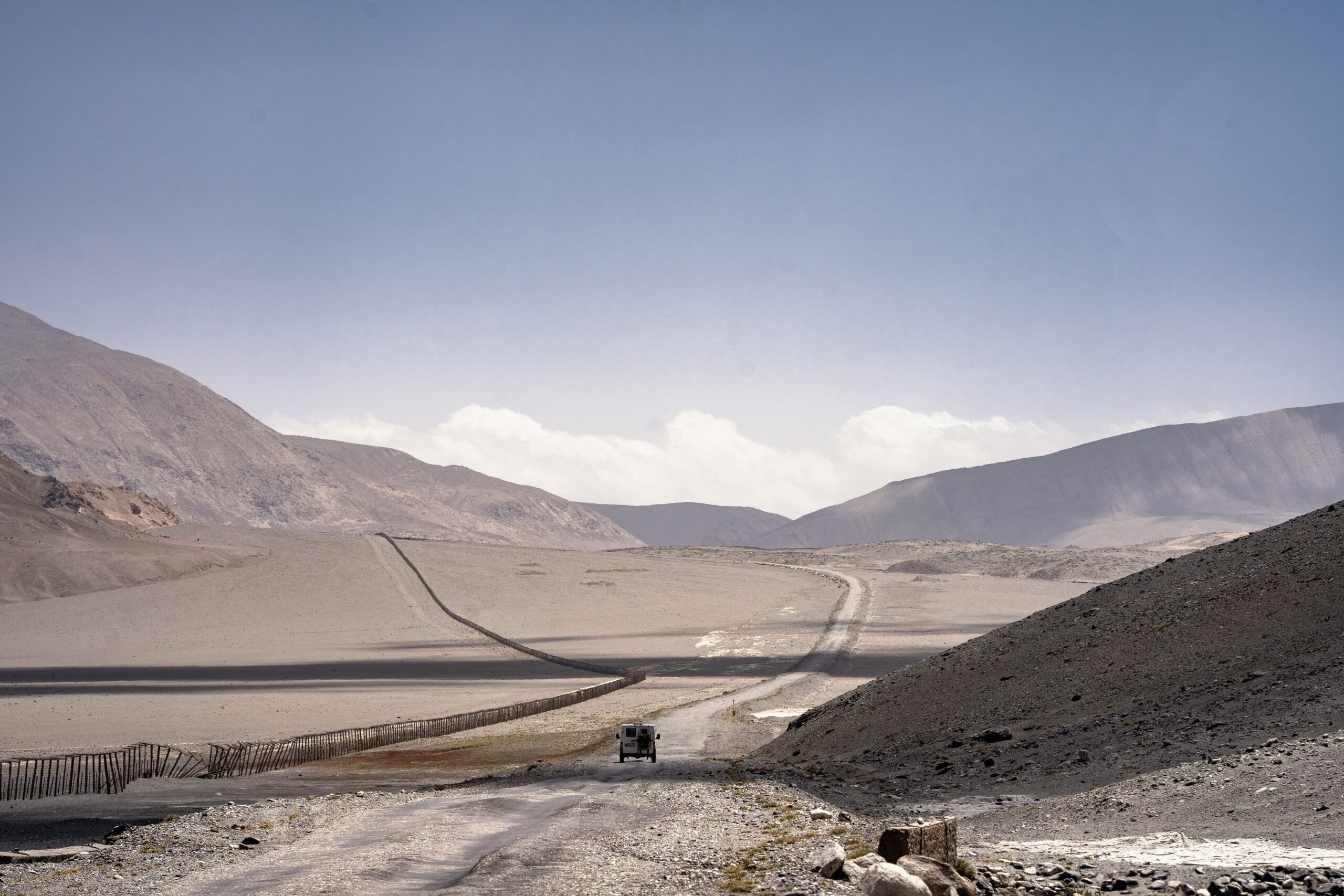
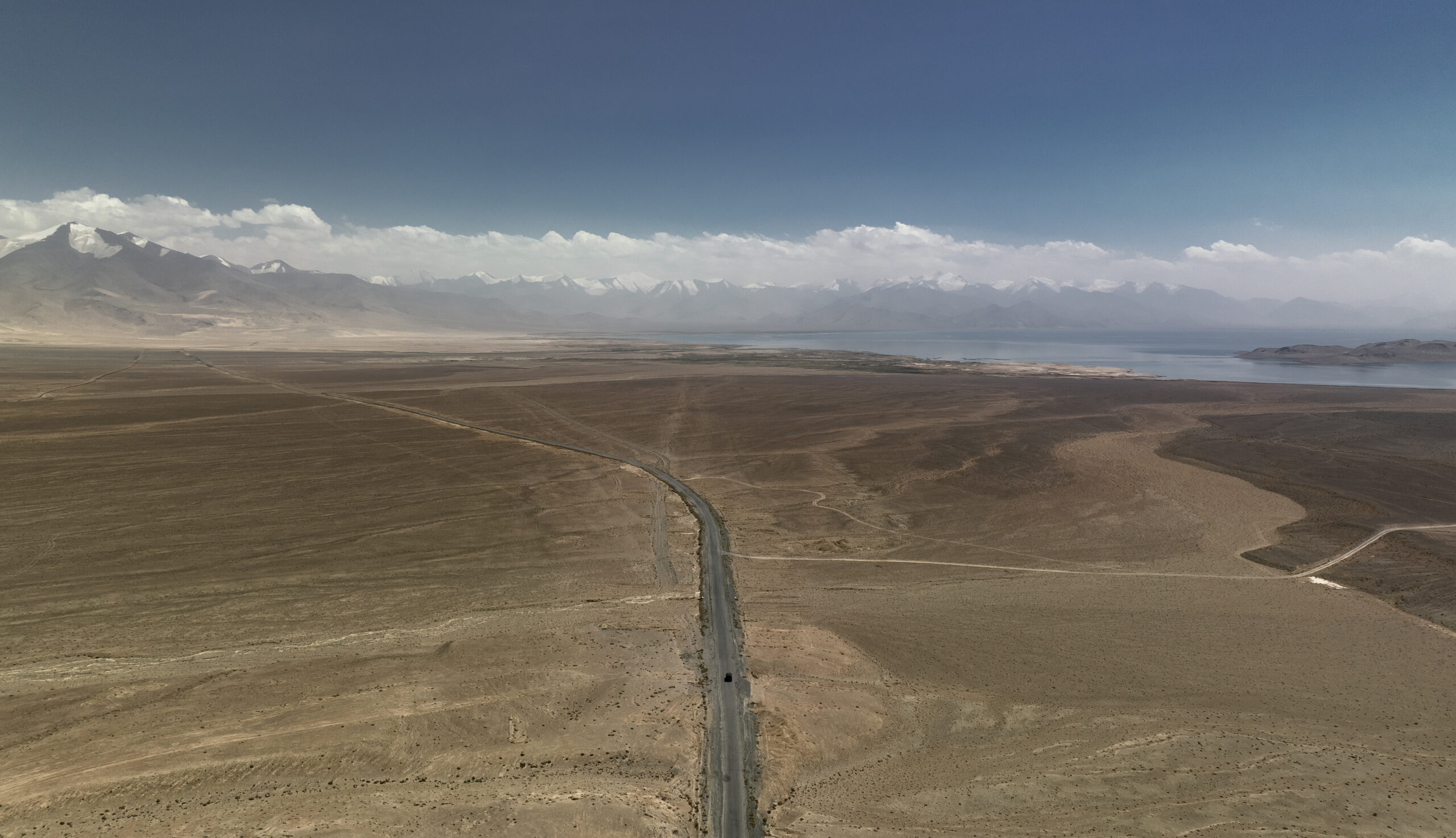
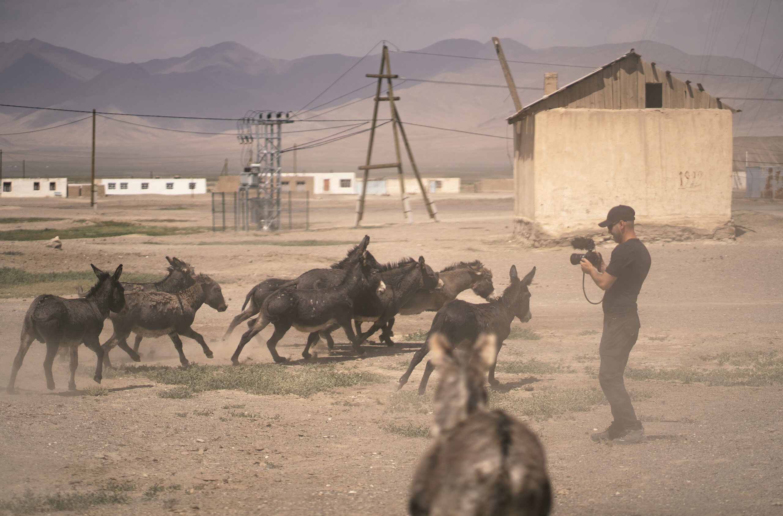
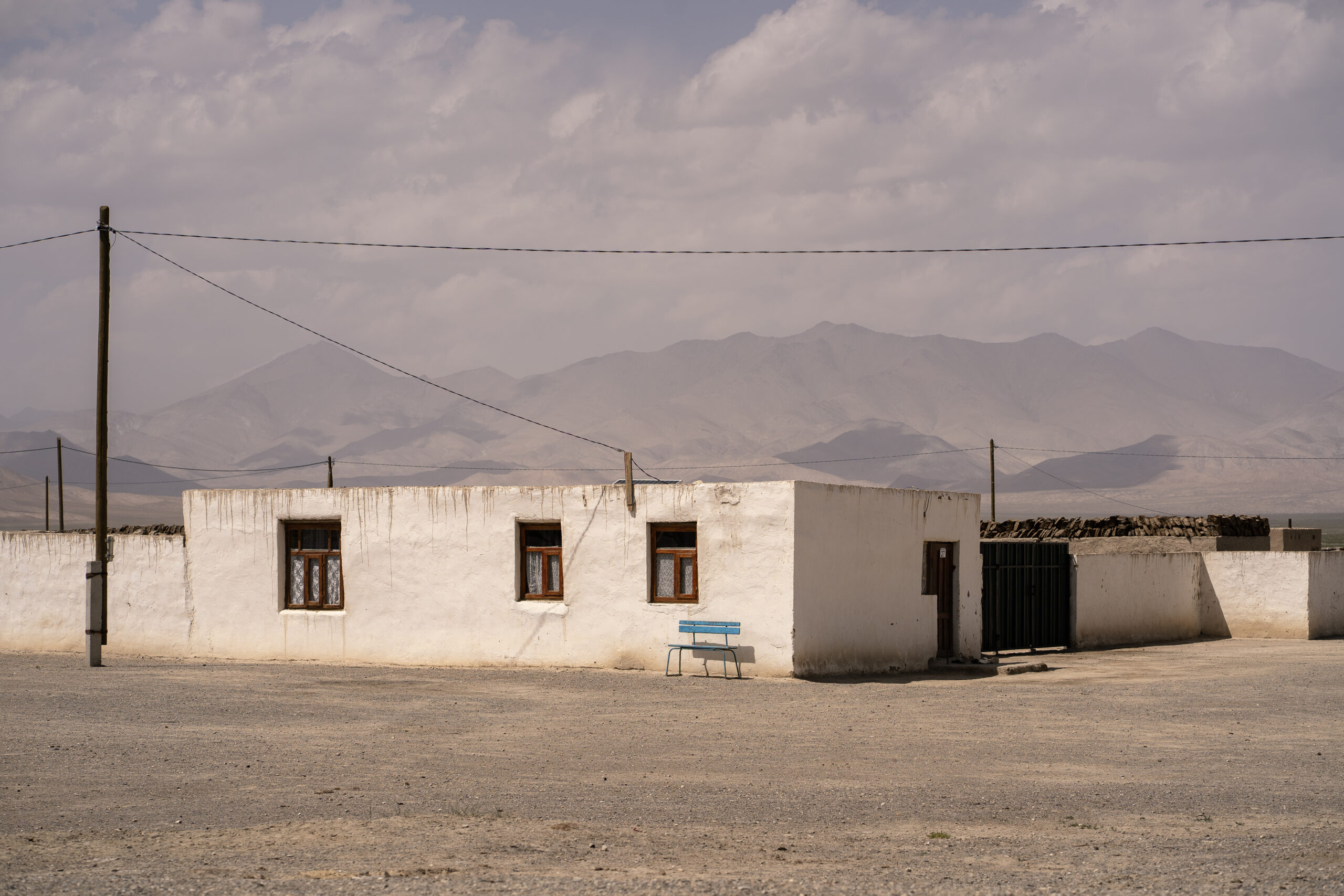
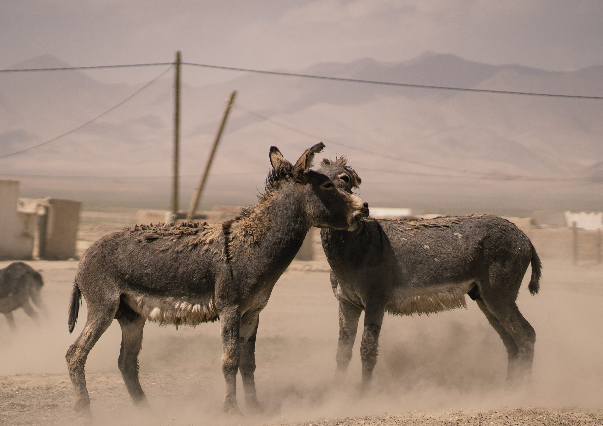
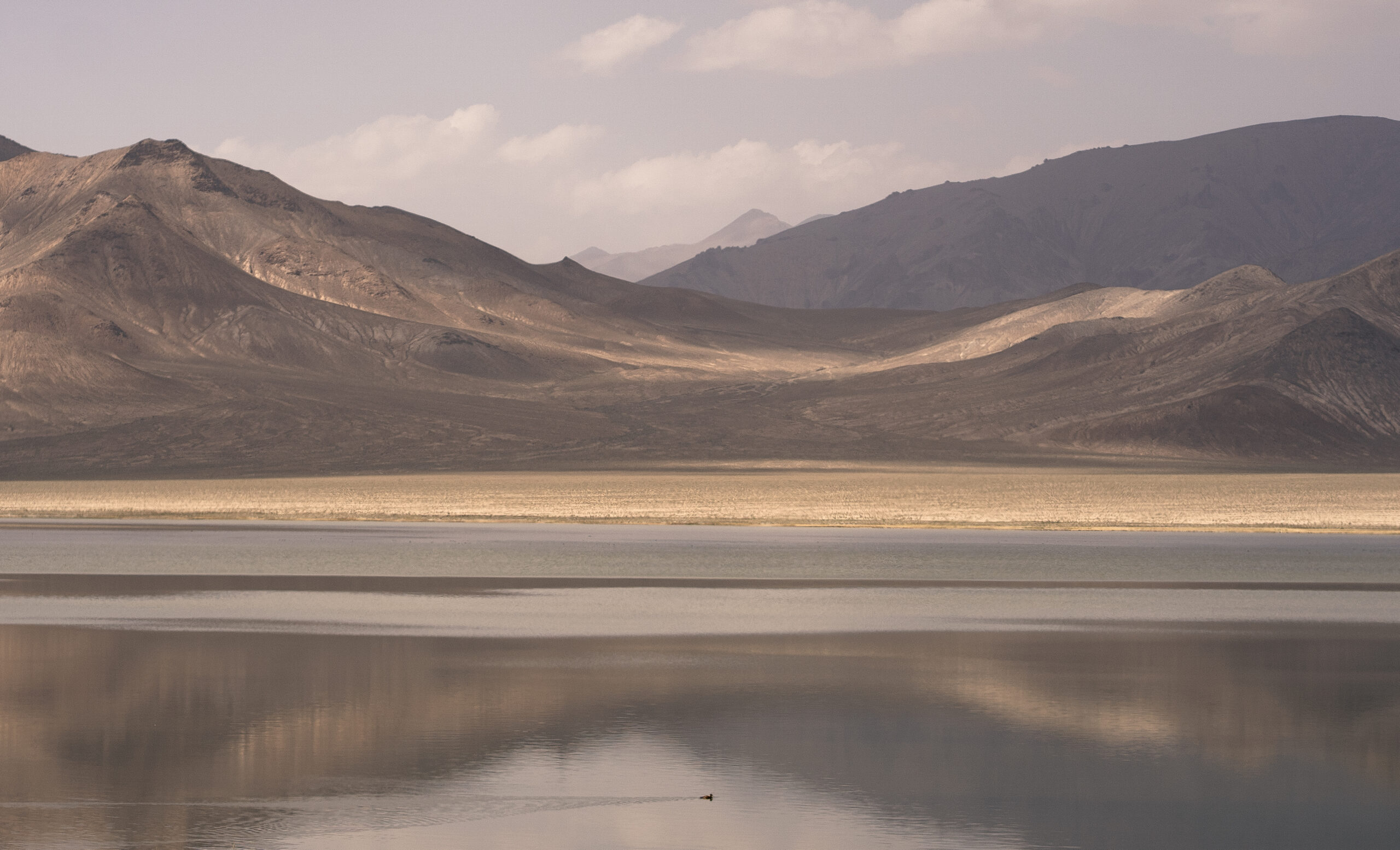
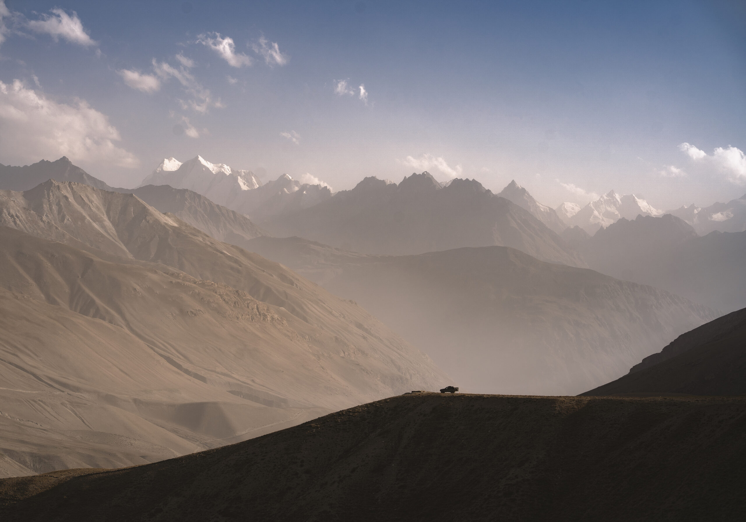
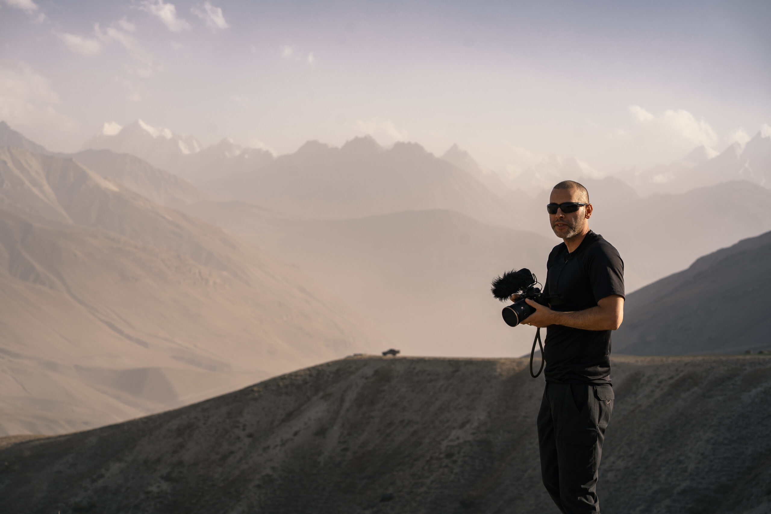
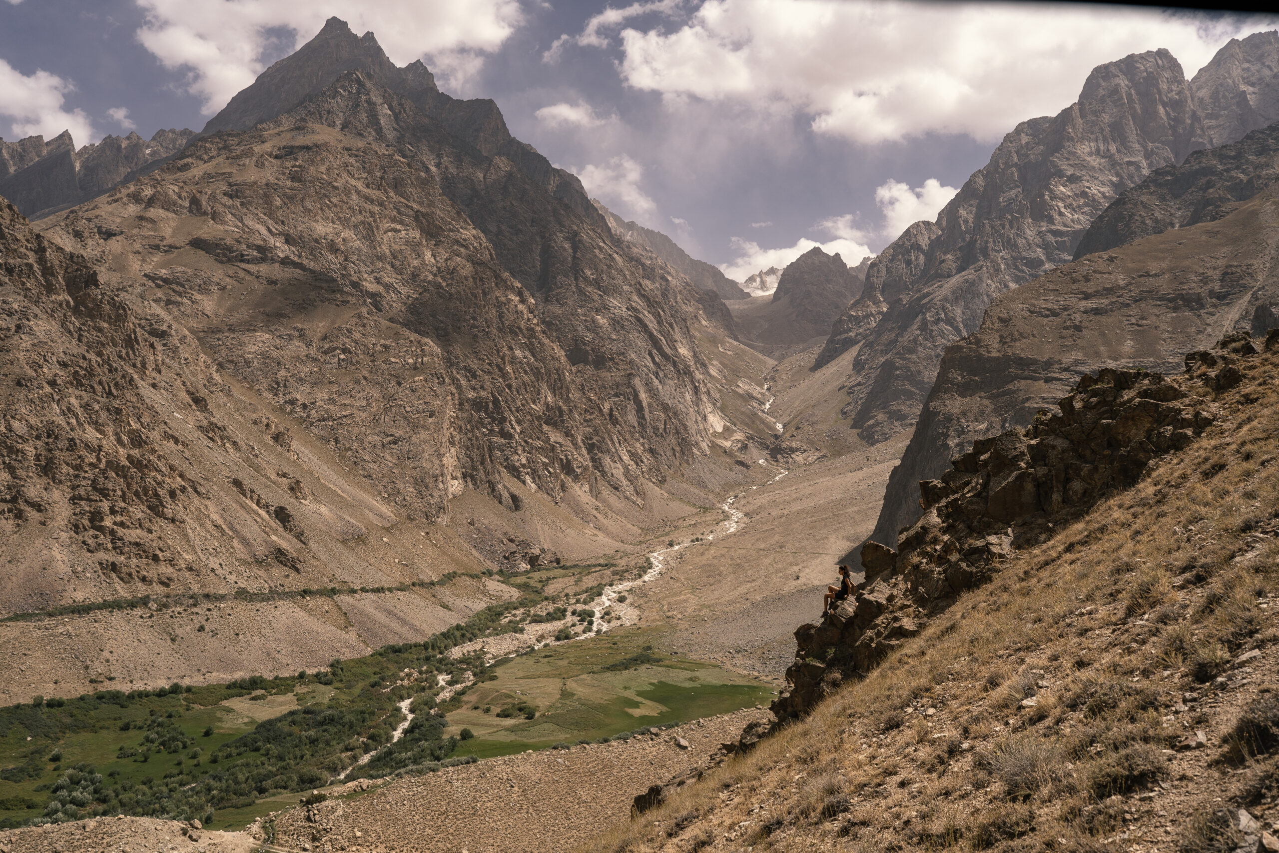
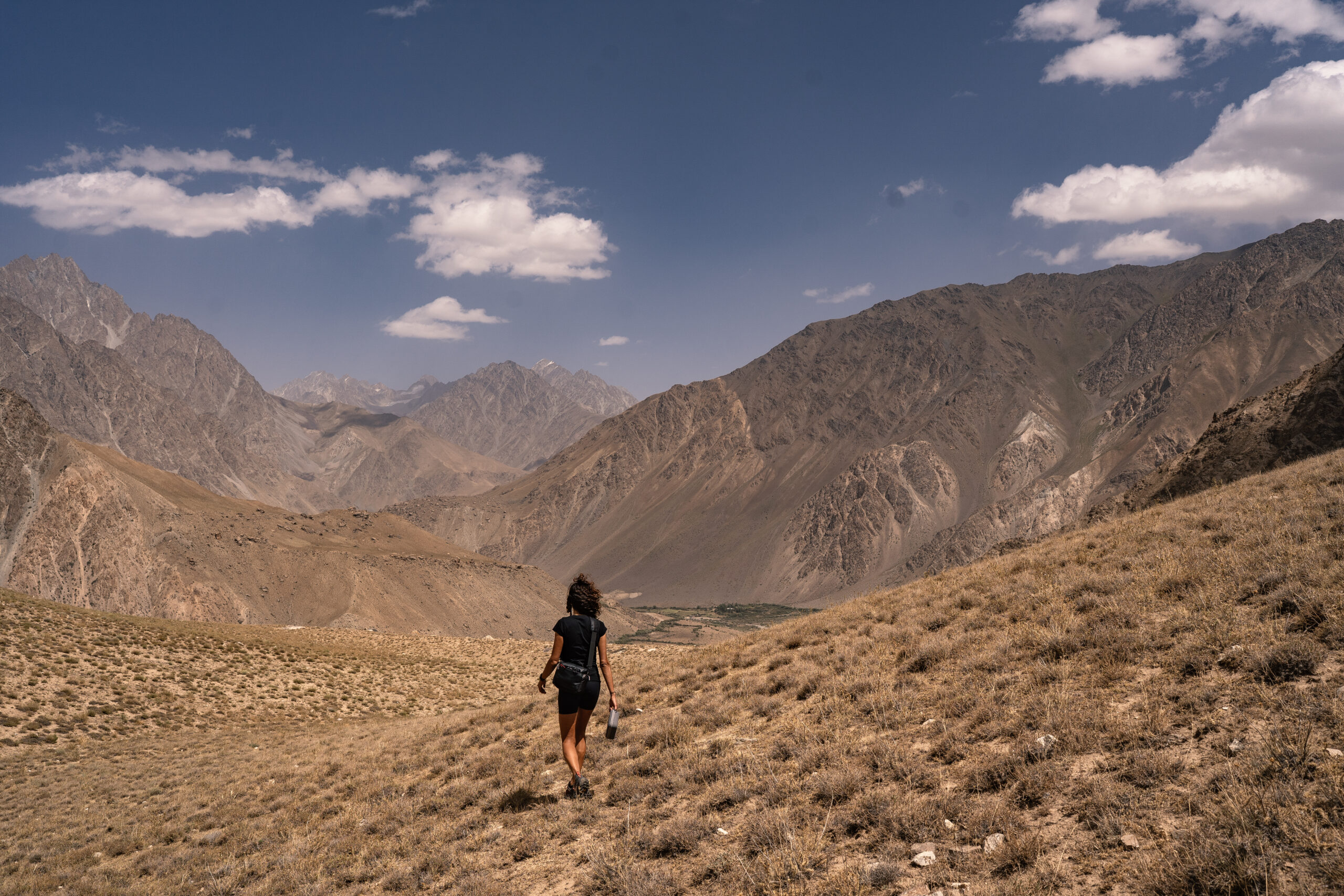
Next, because one photo values more than a thousand words, please have a look at our photo gallery. We used our same old Sony A7III ( mainly 35 mm and 85 mm ) and our Dji Mavir 3 Classic drone.


2 thoughts on “Pamir Highway, Tajikistan: Complete Self-Drive Adventure Guide (2025)”
Thank you for sharing: really interesting. Just a question: did you have any problem with the drone ?
Sorry for the late reply. No, we didn’t have any issue flying the drone or bringing it into Tajikistan.